
Bitterly cold with widespread snow
Author: Press Office
15:01 (UTC) on Sun 25 Feb 2018
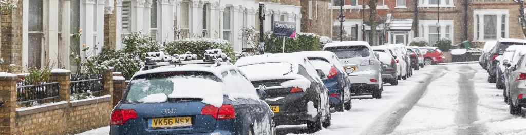
This week looks like being the coldest period we have had in the UK for a number of years. Almost anywhere is at risk of seeing snow as it becomes increasingly bitterly cold.
Amber and Yellow National Severe Weather Warnings for snow have been issued for many parts of eastern and south eastern UK.
These very cold conditions are likely to last through the week with very cold air from Russia crossing the UK while the easterly winds will result in a significant wind chill making it feel several degrees colder than thermometers show. Even without the wind chill some locations will struggle to get above 0 °C by day, with night-time temperatures ranging down to - 8 °C quite widely.
Monday will start with some light snow for the south east, including parts of London and there is a Yellow National Severe Weather Warning in place for this. Snow showers become much more widespread on Tuesday and Wednesday, with regional differences in snow accumulation. Some areas could see a marked build-ups of snow while others nearby could see very little, with some locations likely to see accumulations of 5 to 10 cm during the start of the week. Further snow is expected on Thursday and Friday, including the potential for a spell of significantly disruptive snow across southern UK on Thursday night and Friday.
The locations seeing the biggest impacts and largest accumulations of snow are covered by yellow and amber NSWWS snow warnings.
Met Office Chief Forecaster, Frank Saunders, said: “Parts of England and Wales are likely to see their coldest spell of weather since at least 2013 – perhaps 1991. This will lead to dangerous conditions on roads and pavements and have an impact on people’s health. There is the potential for disruptive snowfall in many parts of the country throughout the week with the areas most at risk being eastern England and eastern Scotland. Transport disruption is likely in areas with significant snowfall.
“With such low temperatures, snowfall is likely to be powdery, bringing the risk of drifting in the strong easterly winds. However, the air is so dry that hoar frost and ice will be less likely to form.”
Although Thursday is the first day of meteorological spring the high pressure over Russia bringing the cold easterly flow is expected to remain in place for several days and there are signs that the cold spell could last into the following week, most likely across northern areas.
The Met Office is working with partners in road, rail and air transport to help minimize the impacts on the public.
Dr Thomas Waite, of Public Health England’s Extreme Events team, said: “With the days feeling a little longer and lighter it can be easy to forget that cold weather can still kill.
“Over 65s, those with conditions like heart and lung diseases and young children, are all at particular risk in cold weather as their bodies struggle to cope when temperatures fall. So before it gets cold check on friends, family and neighbours, who may be at risk and make sure they’re heating homes to at least 18C, see if they need any particular help or just someone to talk to and keep an eye on the Met Office’s forecasts and warnings. Remember keeping warm will help keep you well.”
Due to the high chance of snow next week, we have re-opened our #3WordWeather campaign to see how people talk about snow and cold conditions. We would like the public to take to Twitter to describe the weather where they are in three words. Our aim is to use these words to help our research into how we can better communicate forecasts. Weather forecasting has moved on, the way people receive information has moved on, but the way forecasts are described visually and verbally has hardly changed. Now, with just a few words, it is your chance to help shape the forecasts of the future. Tweet your three words, your closest town and use #3WordWeather to be a part of the project.
You can find out the current forecast in your area using our forecast pages and by following us on Twitter and Facebook, as well as using our mobile app which is available for iPhone from the App store and for Android from the Google Play store.