July flooding 2012
Persistent rain brought flooding to many parts of the UK during the first weekend of July. The impacts were numerous, ranging from flooded transport networks to disrupted sporting events.
Meteorological situation
Image 1 below is the weather chart for 6:00 on 7 July 2012. Low pressure was centred over Cornwall. A cold front affected Northern Ireland and Southern Scotland. A cold front represents a boundary between warm and cold air with the warm air ahead of the cold front and the cold air behind it. An occluded front affected South West England. On a weather chart an occluded front represents where a cold front has caught up with a warm front.
Met Office forecasters look at weather radar images to show where rain is falling. Brighter colours indicate heavier rainfall. Image 2 below shows the rainfall radar image for the same time as the weather chart on the previous page. The bands of rain correspond with the positions of the weather fronts.
East Devon was particularly affected by flooding. June and early July had been particularly wet so the flooding was worsened by already saturated ground. Between 18:00 on 6 July and 12 midday on 7 July South and East Devon typically received 40-50 mm of rain. This figure is roughly what would be received in an average July. Some rain gauges in East Devon which belong to the Environment Agency measured around 100 mm of rainfall in 33 hours, that's twice the July average rainfall.
Image 3 below shows rainfall figures (mm) for the 24 hour period of 6 July. 56.6 mm was recorded at Emley Moor with 52.6 mm at Ryhill (both in West Yorkshire). Each of these figures exceeded the July average.
Image 4 below gives more detail for Southern England for the period 18:00 on 6 July to 12 midday on 7 July.
53.8 mm of rain was recorded at Dunkeswell, Devon, 45.2 mm at Portland, Dorset and 43.6 mm at Exeter Airport, Devon.
Impacts
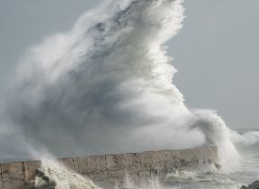
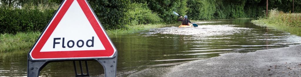
Image 5 below typifies what some people experienced between 6 and 7 July 2012.
Many parts of the UK were affected by the flooding. At Silverstone on the Northamptonshire/ Buckinghamshire border, thousands of Formula 1 fans were turned away from the qualifying session on 7 July due to waterlogged car parks. In the Scottish Borders the A1 was affected by flooding and there were land slips at Lyme Regis in Dorset and at Sidmouth in Devon.
The Met Office issued a red warning (meaning take action) for South West England. The Environment Agency issued two severe flood warnings for South West England in addition to over 200 warnings and alerts for England and Wales. The Scottish Environment Protection Agency had 13 flood warnings in place for Edinburgh, the Lothians and Borders.
East Coast rail services were affected for the second time in a week and there were disruptions to rail services between Glasgow and Edinburgh. In Edinburgh a festival was cancelled. Many areas of the UK rely heavily on tourism and July is normally a very busy time. During particularly wet spells people often cancel bookings and stay at home meaning the rainfall had economic impacts beyond the physical damage to the flooded cars and houses.
If there was one positive to be taken from this rainfall episode it was that the hose pipe ban affecting South East England was finally lifted.