
What is a sting jet?
A sting jet is a core of strong winds which sometimes forms in rapidly deepening areas of low pressure and extends towards the ground.
What is a sting jet?
A sting jet is a small area of very intense winds (often 100mph or more) that can sometimes form in powerful weather systems crossing the UK. Relative to the size of the storm, the sting jet is narrow, often 30 miles across, and only lasts 3 to 4 hours.
Regardless, with gusts of wind exceeding 100 mph there is clearly still the risk of damage. The Great Storm of 1987 was a perfect example of this.
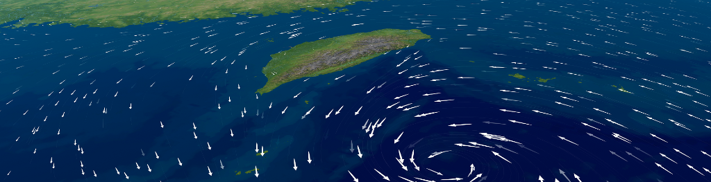
How does a sting jet form?
We know that warm air rises and cold air sinks; that’s what creates cloud and rain. It also helps to form areas of low pressure, sometimes turning them into storms. Areas of low pressure almost always have weather fronts as part of their structure, unless they’re a tropical storm. These fronts separate areas of warm and cold air and it’s their interaction that creates and develops wet and windy weather.
Close to the fronts there tends to be more focused streams of warm and cold air that run parallel to them. They are known as conveyor belts; the warm conveyor rises and the cold conveyor falls. These wrap around the area of low pressure and help develop it by feeding warm air and moisture into the system.
The cold conveyor brings its cold air from higher in the atmosphere and from being in a cold air mass. Sometimes it has help from rain and snow as they fall into it and evaporate. This change from liquid to gas requires heat, which is removed from the conveyor, cooling it further. Now we have even colder air falling along the conveyor, speeding up as it does so, like a rollercoaster taking the first drop.
As this wind reaches the surface it can often produce much stronger gusts would otherwise be made by the storm. However, the cold conveyor catches up with itself after a few hours and consumes the sting jet, keeping the length of time and area of potential damage quite small.
Forecasting sting jets
Sting jets are difficult to forecast because of their relatively small size, and the way each individual low-pressure system develops. However, there are tell-tale signs in weather models that are now able to spot cores of very strong winds.
It is also possible to spot the sting jet developing on satellite images, as the end of the cold conveyor is marked by a hook-shaped cloud with a point at the end. This often looks like the sting in a scorpion’s tail, hence the name sting jet.
There are also types of satellite images that show the amount of water vapour, made up of light and dark shades. The darker the shade the less water vapour there is. We know that clouds are made when water vapour condenses into water droplets, but around the sting jet there are often dark fingers of air stretching out, telling us that the rollercoaster of wind is also very dry. A small core of fast-moving, cold, dense, dry air.
4 quick facts about sting jets
- The 'sting in the tail' is produced by a distinct jet of air - the sting jet
- It starts out three or four kilometres above the ground and descends over three or four hours
- Snow and rain falling into it evaporates and cools it as it descends, helping to accelerate it to high speeds
- It can accelerate to more than 100 mph