
Mountain weather
Peak District Mountain weather forecast table
Confidence
High confidence for mostly settled conditions for the remainder of the working week, before turning unsettled through the weekend. Lower confidence for rainfall detail into the weekend.
Mountain weather hazards
Hazards apply at or above 300m, reflecting the more severe conditions which can occur at altitude.
 Severe Chill Effect
Wind significantly lowers the ‘feels-like’ temperature relative to the actual temperature, with even moderate winds significantly adding to the chilling effect. Strong winds can result in a severe and debilitating wind chill many degrees below the actual temperature. This effect will be enhanced in rain or wet snow. Without protection, prolonged exposure could result in frost nip or frostbite on exposed parts of the body and/or hypothermia.
Strong Sunlight
Harmful UV levels from sunlight increase with altitude giving a greater risk of sunburn and eye damage, even on some overcast days. On breezy days, the cooling effect of wind on exposed skin may disguise any feeling of sunburn until it is too late. If there is snow cover, glare increases the effect of UV rays especially on the eyes. It is advisable to wear sun block, protective clothing such as a long-sleeved top and hat and have good quality eye protection.
Mountain weather forecast
Scattered wintry showers, mostly dry later with some sunny spells.
| 06:00 | 09:00 | 12:00 | 15:00 | 18:00 | 21:00 | |
|---|---|---|---|---|---|---|
Weather (at 600m) |
|
|
|
|
|
|
Chance of precipitation (at 600m) |
40% | 40% | 40% | 30% | 20% | 20% |
Wind direction and speed (mph)
Altitude above mean sea level
| 06:00 | 09:00 | 12:00 | 15:00 | 18:00 | 21:00 | |
|---|---|---|---|---|---|---|
| 600m |
SW
13
|
W
14
|
NE
10
|
NE
7
|
NE
9
|
NE
10
|
| 300m |
SW
12
|
W
12
|
NE
7
|
NE
6
|
NE
9
|
NE
7
|
| Valley |
SW
3
|
W
7
|
NE
6
|
NE
3
|
NE
4
|
NE
6
|
Wind gust (mph)
Altitude above mean sea level
| 06:00 | 09:00 | 12:00 | 15:00 | 18:00 | 21:00 | |
|---|---|---|---|---|---|---|
| 600m | 16 | 18 | 14 | 10 | 12 | 16 |
| 300m | 16 | 15 | 12 | 9 | 12 | 12 |
| Valley | 10 | 14 | 12 | 7 | 8 | 15 |
Altitude above mean sea level
| 06:00 | 09:00 | 12:00 | 15:00 | 18:00 | 21:00 | |
|---|---|---|---|---|---|---|
| 600m |
0°
|
2°
|
2°
|
3°
|
2°
|
1°
|
| 300m |
2°
|
4°
|
4°
|
5°
|
5°
|
4°
|
| Valley |
3°
|
6°
|
6°
|
7°
|
6°
|
4°
|
| Freezing Level |
600m
|
800m
|
700m
|
700m
|
700m
|
600m
|
Altitude above mean sea level
| 06:00 | 09:00 | 12:00 | 15:00 | 18:00 | 21:00 | |
|---|---|---|---|---|---|---|
| 600m |
-5°
|
-3°
|
-3°
|
-1°
|
-1°
|
-3°
|
| 300m |
-2°
|
0°
|
1°
|
3°
|
2°
|
1°
|
| Valley |
2°
|
3°
|
4°
|
6°
|
5°
|
2°
|
Additional weather information
Meteorologist's view
Appropriate layers should be worn due to a risk of wind chill. Moderate UV levels will carry a risk of sunburn in any more prolonged sunny spells.
Weather
Scattered showers through the morning and afternoon, these falling as a wintry mix of rain and snow. Turning mostly dry into the early evening with sunny spells.
Chance of cloud-free hill tops
90%.
Low cloud and visibility
Brief patches of cloud likely across the highest tops in the morning, mainly associated with scattered showers. Otherwise, bases above summits with generally very good or excellent visibility.
Recent rainfall
Location: Cat & Fiddle (Midway between Buxton and Macclesfield)
Altitude: 511m
| Last 24 hours | Last 48 hours | Last 72 hours |
|---|---|---|
| 0mm | 3mm | 10.3mm |
Measurement date:
Rainfall data provided by the Environment Agency. The Met Office is not responsible for content provided by third parties and may remove this data without warning.
Mountain weather information
Weather
After a cold night with a touch of frost around dawn, mostly dry conditions with sunny spells. However, there is still the chance of scattered but mostly light showers developing through the daytime.
Chance of cloud-free hill tops
90-100%.
Maximum wind speed expected
East or northeast 10mph gusts 15mph.
Temperature
- At 600m Minus 1 Celsius rising to Plus 5 Celsius.
- Valley Plus 1 Celsius, rising to Plus 11 Celsius.
- Freezing level 500m at first, gradually rising above summits.
Low cloud and visibility
Brief patches of cloud again possible across the highest tops associated with scattered showers. Otherwise, bases above summits with generally very good or excellent visibility.
Mountain weather information
Sat 27 Apr
Sunrise:
Sunset:
Mostly dry with some sunny spells but turning cloudier from the south later. Freshening northeast winds developing. Freezing levels rising above summits.
Sun 28 Apr
Sunrise:
Sunset:
Outbreaks of rain or showers, heavy in places. Chance of stronger winds for a time. Freezing levels above summits.
Mon 29 Apr
Sunrise:
Sunset:
Most likely a drier day with some sunny spells and mostly light winds. Freezing levels above summits.
Updated at:
Summit specific forecast
Mountain summit forecast map
Loading map…
Key
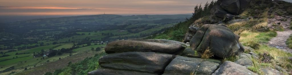
The Peak District is home to a wide variety of magnificent hills, moors, outcrops and gritstone edges.