UK regional climates
Summaries of the climate characteristics of 11 regions of the UK
Their focus is on the latest 30 year averaging period of 1981-2010 and much of the commentary refers to events during this period. However, the effects of climate change, both natural and man-made, may need to be borne in mind for any data applications. Analyses are provided of the main weather elements - temperature, sunshine, rainfall, snowfall and wind.
Variable weather in the UK
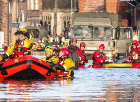
The UK is well known for the variability of its weather - from day to day, season to season, year to year and place to place. Its position in the mid-latitude westerly wind belt on the edge of the Atlantic Ocean with its relatively warm waters, yet close to the continental influences of mainland Europe, plays a major role in this. Changes in topography and land use over relatively short distances, together with a long coastline and numerous islands, all add to the variety of weather.
In general, places in the east and south of the UK tend to be drier, warmer, sunnier and less windy than those further west and north. Also, these favourable weather conditions usually occur more often in the spring and summer than in autumn and winter. But that is by no means the whole story, and these climate descriptions illustrate the all-important regional and seasonal variations.
Descriptions of regional climates in the UK
- Northern Scotland's regional climate
- Eastern Scotland's regional climate
- Western Scotland's regional climate
- Northern Ireland's regional climate
- Wales' regional climate
- North West England & Isle of Man's regional climate
- North East England's regional climate
- Midlands' regional climate
- Eastern England's regional climate
- Southern England's regional climate
- South West England's regional climate
How will regional climates change?
You can find out more about climate change in your local area in this climate change visualisation tool.
This tool is a collaboration with the BBC. It combines our climate projections and records to visualise climate change in the UK.