Cold conditions sweep in as Storm Claudia clears
After a spell of persistent heavy rain, high pressure will settle the weather across the UK, bringing widespread cold conditions and some wintry hazards.
Intense rainfall through Friday and overnight has caused flooding impacts in some parts of south Wales and central England. Accumulations of 119.6 mm was recorded between 1800 Thursday and 0600 Saturday at a Natural Resources Wales rain gauge at Tafalog in Gwent.
80.6mm was recorded over the same period at an Environment Agency rain gauge at Suckley in Worcestershire.
Strong winds were also associated with Storm Claudia in northwest Wales and northwest England, with 68 mph recorded at Warcop Range in Cumbria, 63 mph at Aberdaron in Gwynedd.
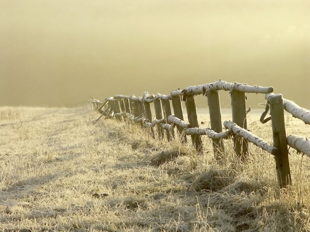
Rain has now eased as high pressure begins to assert dominance from the north, bringing with it colder air. While the cold air has been in place across Scotland for a couple of days, with some snowfall already in places like Inverness, this cold air will now spread south to cover the whole of the UK by the end of the weekend.
Met Office Deputy Chief Meteorologist Dan Holley, said: “As Storm Claudia retreats to the south, high pressure to the northwest will drive a cold northerly flow from the Arctic across the UK. This will bring much colder conditions than of late and, whilst generally drier than recent days, there will also be a risk of wintry hazards, such as snow and ice.
“There will be widespread frosts across the UK, with temperatures dipping as low as -7°C in places next week, and daytime temperatures staying in single figures across the country. Couple this with a brisk northerly wind, and there will be a marked wind chill. This will be a notable change in our weather after a prolonged spell of above-average temperatures. People should keep an eye on the forecast in their area as it is possible warnings may be issued for snow and ice at times.”
What comes next after Storm Claudia?
— Met Office (@metoffice) November 14, 2025
Here's a look at the weekend forecast ⬇️ pic.twitter.com/KbG0gQLuqg
Potential for wintry hazards
With freezing temperatures and the potential for snow and ice in places, there are a number of simple steps you can take to prepare your home, garden, or business for the winter weather.
Our WeatherReady pages provide expert seasonal advice from carefully selected organisations to help keep you and your property safe, from steps to prevent sub-zero temperatures bursting pipes, to preparing your vehicle for the change in conditions.
Keep up to date with the latest forecast for your area using our forecast pages. You can also follow us on Twitter and Facebook. Use our mobile app which is available for iPhone from the App store and for Android from the Google Play store.