
New space weather modelling suite enables upper atmosphere forecasting for the first time
A pioneering new space weather forecasting modelling suite will enable operational modelling of the upper atmosphere at the Met Office for the first time in a major breakthrough for UK atmospheric science.
The Advanced Ensemble Networked Assimilation System is a new suite of space weather forecasting models available to the Met Office that focuses on how space weather can influence the thermosphere and ionosphere here on Earth.
The suite, built at the University of Birmingham, and developed in collaboration with Lancaster University, the Universities of Leeds, Bath and Leicester and the British Antarctic Survey is now running on the Met Office’s new supercomputer.
Complementing the Met Office’s existing space weather forecasting models, which include predicting the arrival of events from the surface of the Sun, this system introduces new forecasting capability for modelling impacts from space weather on satellites, aviation, communications and services which rely on GNSS.
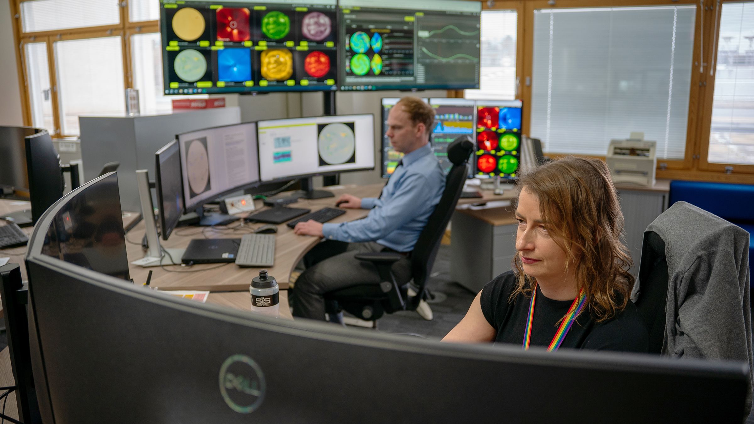
The new suite means that, for the first time, forecasters at the Met Office Space Weather Operations Centre (MOSWOC) will have access to forecast model output on the impacts of space weather on the ionosphere, as well as enhanced modelling of the thermosphere.
Met Office Space Weather Manager Simon Machin said: “This delivers a world-leading capability that provides greater confidence and forecasting skill than any models currently in operation anywhere else in the world.
“This isn’t just about science - it’s about protecting the systems we rely on every day. From aircraft communications to GPS in your phone, space weather can affect us all.”
Science Minister Sir Patrick Vallance said: "Once again, cutting-edge British innovation is making a remarkable difference to our daily lives - this time from way up in the atmosphere.
"This is a really exciting example of how better understanding of what’s happening in space can protect the tech we all rely on, from GPS on our phones to keeping the power grid working."
The new modelling capability will be able to assimilate near real-time data about the current state of the ionosphere and thermosphere, combine with forecasts of solar activity from the Sun in order to produce accurate and actionable forecasts of the upper atmosphere. This will help enable service providers to take mitigating actions to prevent impacts from space weather where possible.
What is the new modelling suite and why does it matter?
The new suite comprises of three new models for the Met Office which focus on different parts of the Earth’s atmosphere.
- Advanced Ensemble Networked Assimilation System: provides modelling of the ionosphere and thermosphere; the first time space weather modelling has been available in the UK for this part of the Earth’s upper atmosphere. This was developed by the University of Birmingham.
- ODRAM: Specialises in the disruptions to high-frequency radio communications. This model was developed by Lancaster University.
Professor Sean Elvidge, Head of Space Environment and Radio Engineering (SERENE) at the University of Birmingham, and the lead developer of the system said: "The deployment of this suite at the UK Met Office is the realization of a 10-year vision of SERENE, to build and deliver a state-of-the-art upper atmosphere modelling capability into operational use.
"The tools will be able to support a wide range of users and ultimately allow people to make informed decisions earlier, being proactive rather than reactive in their response to space weather."
Professor Farideh Honary from Lancaster University said: “We are happy to see our research being translated into a useful product to be used by industry. The research and modelling led by Lancaster is relevant to the aviation industry and in particular to flights using polar routes which are dependent on high frequency communications.
“These flights have significantly increased since their initial opening in the 1990s due to their operational advantages such as reduced flight times and fuel consumption, which translate to cost savings and environmental benefits like lower carbon emissions.”
More accurate and precise forecast information will help enable service providers to take mitigating actions to prevent impacts from space weather where possible. One example of this is with users of Global Navigation Satellite Systems (GNSS), such as GPS, for positioning or navigational purposes. If they understand that there is likely to be a loss of accuracy in GNSS, they can switch to using other systems.
Together, the new modelling suite has been delivered as part of Space Weather Instrumentation, Measurement, Modelling and Risk (SWIMMR) programme, which was funded through the UKRI Strategic Priorities Fund and designed to enhance the UK’s capability for monitoring, modelling and forecasting space weather.
Professor Ian McCrea, SWIMMR Programme Lead at STFC RAL Space, said: “These new models represent a significant step forward for the UK's capacity to model, forecast, and understand key components of our upper atmosphere. By coupling advances in physical modelling with global scale observations, they will enable unparalleled awareness of Earth's geospatial environment.
“The models promise to address a wide range of use cases, ranging from radio communications to the prediction of satellite orbits, and we expect that they will be of great importance to a huge variety of stakeholders. They also provide a clear demonstration of how the collaboration between academics and end users, which SWIMMR has enabled, can benefit members of both communities.”
The new modelling suite will enable enhanced space weather forecasts from the Met Office Space Weather Operations Centre.