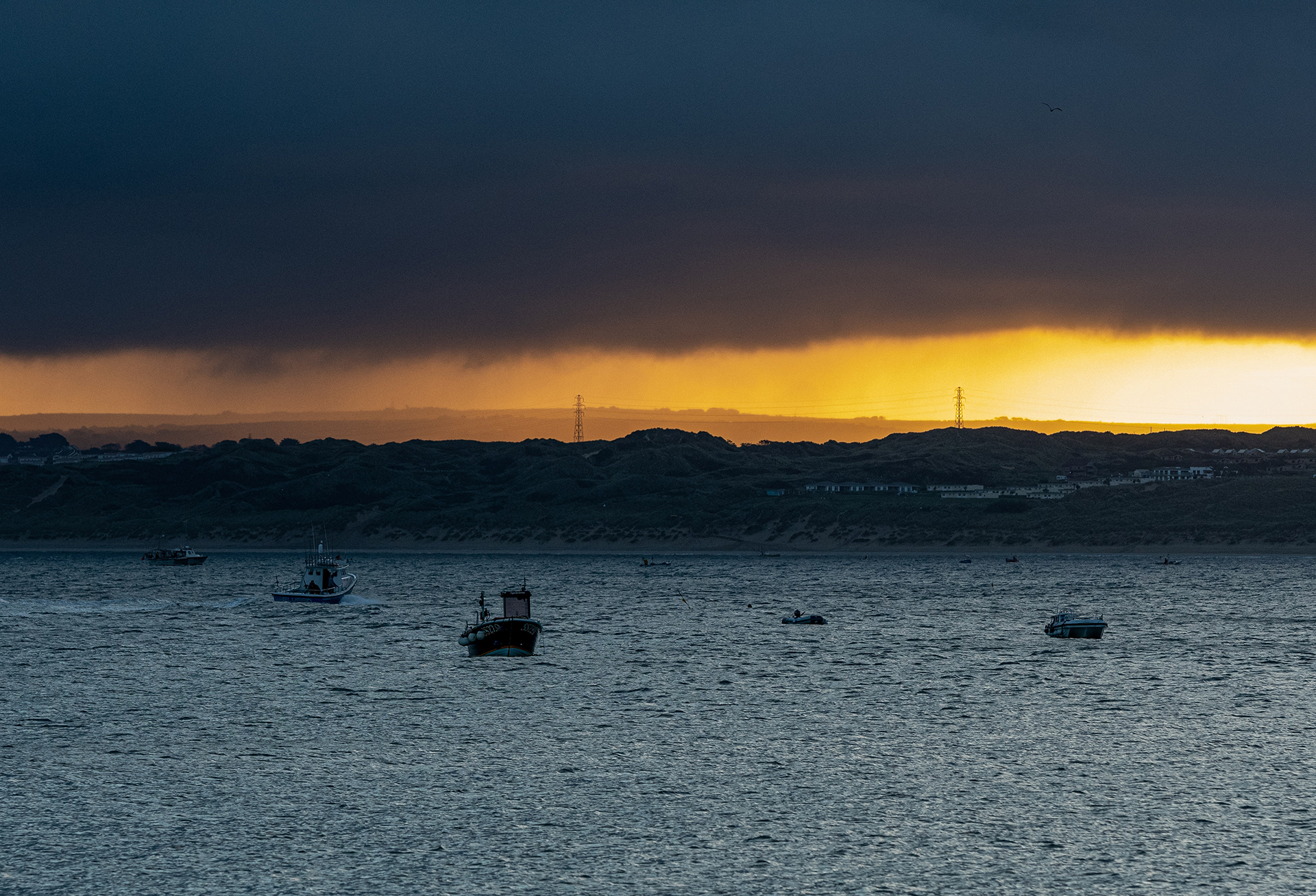
Unsettled with further rain, strong winds, and hill snow
Author: Met Office
11:58 (UTC) on Fri 30 Jan 2026
Low pressure is continuing to drive the UK’s weather, bringing further rain and strong winds as well as some hill snow across higher ground in the north.
National Severe Weather Warnings remain in place across parts of the UK and further warnings are likely as successive bands of rain move across the country following an already notably wet and unsettled period.
Yellow warnings for rain remain in force for Northern Ireland and southwest England, with an additional Yellow warning in place across southwest England for early next week as further rainfall is expected in areas already affected by flooding
⚠️ Yellow weather warning issued ⚠️
— Met Office (@metoffice) January 30, 2026
Rain across southwest England
Monday 1200 – Tuesday 0900
Latest info 👉 https://t.co/QwDLMfRBfs
Stay #WeatherAware⚠️ pic.twitter.com/GusJIVY3HX
Met Office Chief Forecaster Rebekah Hicks, said: “A south-shifted jet stream continues to push areas of low pressure towards the UK, resulting in further spells of rain and occasionally strong winds. With ground conditions saturated in several regions, additional rainfall, even if not as intense as earlier in the week, may still bring disruption.”
Weekend outlook
Low pressure remains in charge for the weekend, with further outbreaks of rain or showers on Saturday for many parts of the UK, though this tending to turn more showery on Sunday with some drier and brighter interludes in places.
Temperatures will remain close to the seasonal average for most, but colder air will persist in the far northeast, supporting the continued risk of hill snow.
Met Office Deputy Chief Forecaster, Dan Holley, explained the reasons behind the current unsettled outlook: “We’ll continue to see a strong and south-shifted jet stream well into next week, which will steer further low pressure systems close to the UK from the North Atlantic. These will bring further spells of rain at times, accompanied by strengthening winds, with an ongoing risk of flooding in sensitive areas. There will also be some hill snow at times in the north as this wet weather engages with colder air here.”
Keep up-to-date with latest National Severe Weather Warnings and forecasts on our website, on YouTube, by following us on X and Facebook, as well as on our mobile app which is available for iPhone from the App store and for Android from the Google Play store.


