Wet and very windy weather to arrive this weekend
Author: Press Office
13:50 (UTC) on Mon 3 Feb 2020
This weekend low pressure returns once again, heralding a spell of wet and very windy weather that looks likely to last well into next week.
Before that however, after a windy start this week high pressure will return from mid-week bringing more settled weather and much lighter winds.
Met Office Chief Meteorologist, Neil Armstrong, said: “After a dry start to the week for many, with some sunny spells, early frosts and fog patches, the weather will become more unsettled as we head towards the weekend. There will be wet and windy conditions over the weekend and a Yellow National Severe Weather Warnings has been issued for wind for the whole country on Sunday.
“This warning is expected to be updated as we get nearer to the weekend and confidence grows in the exact track and intensity of the weather system than is causing the wind and also bringing the potential for some heavy rain. Although still a long way off in forecast terms, there are signals the unsettled weather arriving this weekend could also continue into next week.”
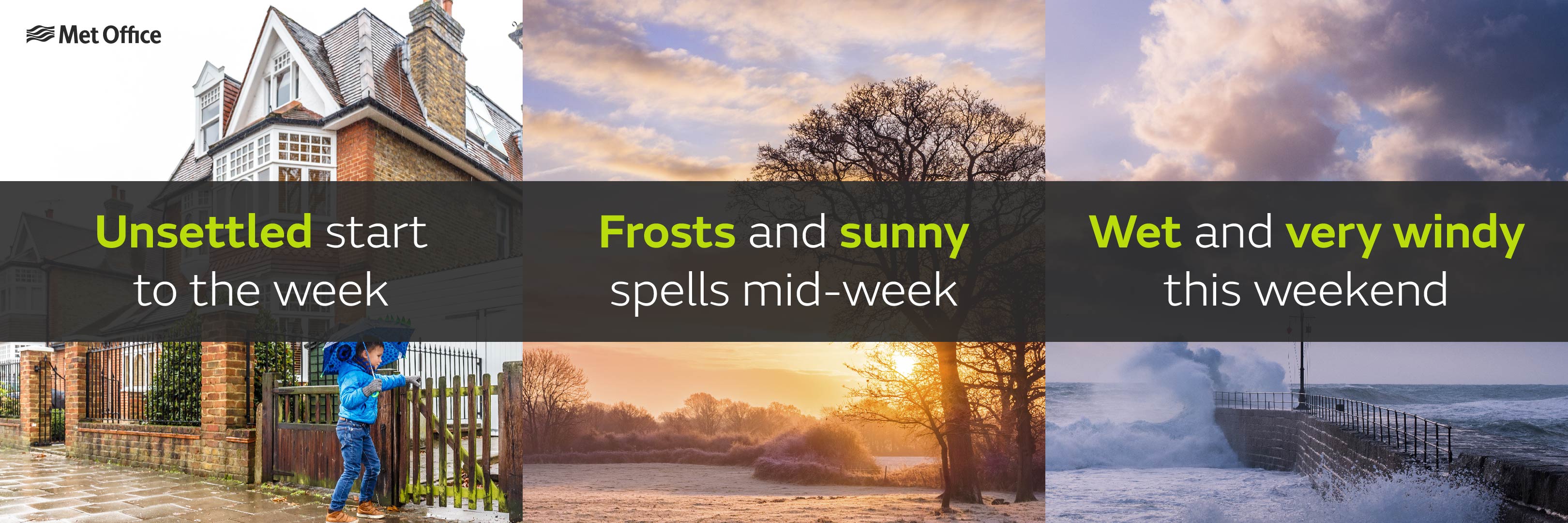
High pressure will build across the UK on Wednesday with much lighter winds and settled weather forecast for most for the rest of the working week. With clear spells overnight, we’ll also see frosts developing quite widely along with patchy fog or freezing fog. A gradual change to more unsettled conditions is then expected from the west through Friday, heralding an increasingly wet and windy spell of weather over the weekend. Very strong winds are expected on Sunday with gusts of 50 to 60 mph likely across many inland areas, with gusts of 70, possibly 80 mph, possible around some exposed coastlines and hills , especially in the north and west. Winds of this strength have the potential to disrupt transport and result in some impacts on western coasts.
Keep up to date with the latest forecast for your area using our forecast pages and by following us on Twitter and Facebook, as well as using our mobile app which is available for iPhone from the App store and for Android from the Google Play store.
Updated at 13:51 (UTC) on Tue 4 Feb 2020