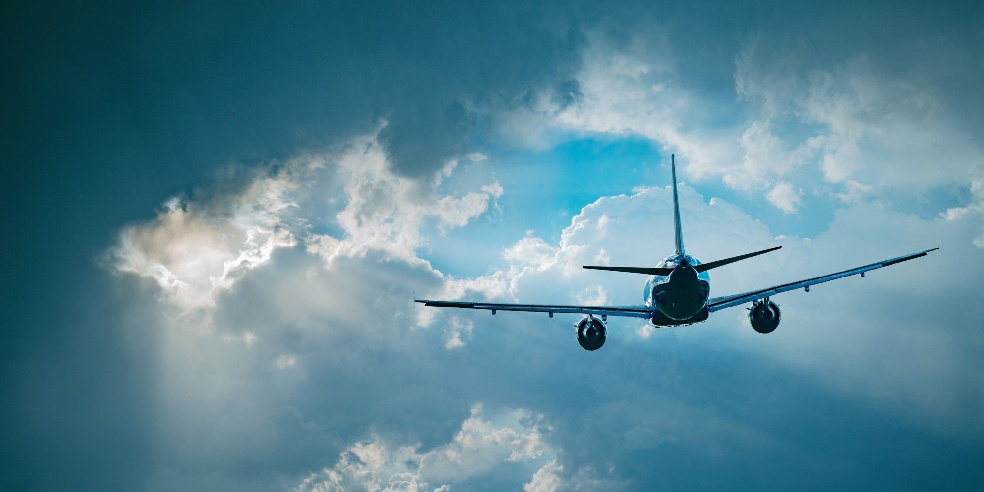
Did you know that there are different types of turbulence, and that it's becoming more frequent and severe due to climate change?
Whether you're a frequent flyer or an occasional traveller, chances are you've experienced a bumpy flight. Turbulence can be caused by various factors, from atmospheric conditions to jet streams, and weather patterns. It doesn’t just mean uncomfortable flights, but creates challenges for the aviation industry around safety, reliability, and operational efficiency. It even has financial implications, and thanks to climate change, it’s on the rise.
Understanding the different types of turbulence
There are three main types of turbulence affecting aviation:
-
Clear Air Turbulence (CAT) occurs at high altitudes near jet streams, without any visual cues like clouds. It's caused by strong wind shear (changes in wind velocity over short distances, including speed and direction) and is particularly hazardous because it's hard to detect and forecast.
-
Mountain Wave Turbulence (MWT) happens when stable air flows over mountain ranges, creating oscillating waves that can extend far downwind and reach cruising altitudes.
-
Convectively Induced Turbulence (CIT) is linked to thunderstorms and towering cumulus clouds, driven by strong vertical air movement and can be sudden and severe.
Safety implications
Turbulence poses a safety risk and, though serious injuries are rare (mainly affecting unbelted passengers or cabin crew), it can be an unsettling experience for passengers. Recent research reveals a significant rise in clear air turbulence, but advanced weather data is helping airlines navigate the challenge.
How climate change is intensifying turbulence
Three factors contribute to intensifying turbulence due to climate change: Jet stream disruption, upper atmosphere cooling, and storm intensification.
Climate change is intensifying jet streams due to a growing temperature contrast between the poles and the equator. This leads to stronger wind shear in the upper atmosphere, increasing both the frequency and severity of clear air turbulence. Studies, including those by Professor Paul Williams and recent findings published in Geophysical Research Letters, show a measurable rise in moderate-to-severe clear air turbulence over the past few decades. As an example, at a representative location over the North Atlantic, the most severe category of CAT became 55% more common in 2020 compared to 1979.
Additionally, while the lower atmosphere warms due to greenhouse gases, the upper atmosphere cools. This divergence intensifies jet stream instability, creating more swirling wind patterns and turbulence.
Finally, warmer air has a greater capacity to retain water vapour, intensifying storms and fueling stronger thunderstorms, increasing convective turbulence.
Global hotspots
While turbulence can occur anywhere, some regions are more prone to it. The North Atlantic Corridor, especially between North America and Europe, experiences the strongest jet streams. East Asia near Japan can be prone to jet stream-related turbulence. Greenland, the Andes and Himalayas are all susceptible to mountain wave turbulence due to elevated terrain. Parts of the USA and Southeast Asia are frequently affected by convective turbulence, especially during storm seasons.
Beyond Clear Air Turbulence
Climate change affects other types of turbulence too, particularly convective turbulence. A warmer atmosphere holds more moisture, which fuels more intense thunderstorms - key drivers of convective turbulence. The link between climate change and mountain wave turbulence is less well understood and remains an emerging area of research.
Innovative solutions for a less turbulent future
Rising turbulence presents safety, reliability, and financial challenges for aviation. The Met Office delivers global climate and weather intelligence to support the sector’s safety and efficiency.
At the Met Office we provide critical, regulated meteorological services to support aviation safety, efficiency, and environmental sustainability worldwide, including volcanic ash advisories, turbulence forecasts, and innovative tools, all designed to help the industry adapt to evolving technological and climatic challenges while reducing environmental impact.
One of our new regulated services is currently running in its beta phase: Our Met Office Aeronautical Visualisation Service (MAVIS) consolidates several existing services into a single, innovative platform to provide unrivalled, personal weather visualisations in one place, empowering the aviation industry to make safe and efficient decisions.
One of our most prominent commercial features is our partnership with AVTECH Sweden AB. The Swedish software company and the Met Office provide flight optimisation services that help pilots avoid turbulence through real-time route adjustments based on live weather data. These systems enable cost-effective flight paths, reducing fuel use and turbulence risks.
Looking ahead
Our new cloud-based supercomputer, hosted on Microsoft Azure, ingests over 50 billion weather observations daily, enabling more accurate and longer-range forecasts. It also harnesses advanced modelling and AI-driven techniques to better predict complex weather phenomena like turbulence and storm systems.
As climate change continues to intensify atmospheric conditions, advanced weather and climate intelligence becomes increasingly crucial for maintaining aviation safety and efficiency in our radically changing world.