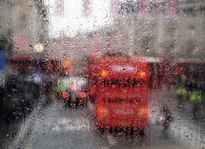
Met Office daily weather: Rain, showers, and some clearer spells expected.
A mix of conditions across the UK, with rain, showers, and some clearer spells expected.
The weather for midweek brings a mix of conditions across the UK, with rain, showers, and some clearer spells expected.
Wednesday begins with cloudy skies and further rain or showers affecting northern areas. Elsewhere, the day starts on a clearer note, though some mist and fog patches are likely, particularly in more sheltered spots. As the day progresses, cloud will increase from the west-southwest, bringing rain, some of it heavy, to southern regions by dusk. Northern areas will remain breezy, while winds elsewhere are generally light.
Temperatures on Wednesday are expected to be close to the seasonal average. However, as night falls, milder air will move into the south, while a risk of frost develops for Scotland, Northern Ireland, and parts of northern England.
As we head into the weekend, cold Arctic air will sweep across the UK, bringing a sharp drop in temperatures and a brisk northerly wind 🌬️
— Met Office (@metoffice) October 21, 2025
Wrap up warm, it’s going to feel colder! 🧥 pic.twitter.com/FGQUzHSnIN
Outlook for Thursday
Thursday sees outbreaks of rain, heavy at times, affecting much of England and Wales during the morning. This rain will gradually become confined to eastern areas as the day goes on. Further west, clearer or sunny spells will develop, but these will be interspersed with showers, some of which may be heavy and accompanied by thunder.
Winds will be mostly light to moderate in the north, but fresh to strong in the south, with coastal gales possible, perhaps severe in exposed locations. Temperatures will be near normal for the time of year, though it may feel rather cold in places, especially where the wind is strongest or during any heavier showers.
Met Office presenter and meteorologist, Aidan McGivern, said: “A few mist and fog patches first thing Wednesday. Otherwise, a fine start to the day for many. Still a few showers, particularly for the north and west of Scotland. Still a strong breeze here, but actually plenty of sunshine through the day. And the showers towards the west and southwest will ease into the afternoon. But that's only ahead of the next low that is starting to move in, bringing some rain into Cornwall by midafternoon.
“But a fine day all in all for many places. Best of the sunshine by the afternoon across eastern England, eastern Scotland, and temperatures similar to Tuesday. However, here's the next low. It's going to bring some heavy and prolonged rain into the south by Wednesday evening. And that wet weather extends across many central and eastern parts as the this developing low moves through during Wednesday night into the start of Thursday.”
Keep up to date with weather warnings, and you can find the latest forecast on our website, on YouTube, by following us on X and Facebook, as well as on our mobile app which is available for iPhone from the App store and for Android from the Google Play store.


