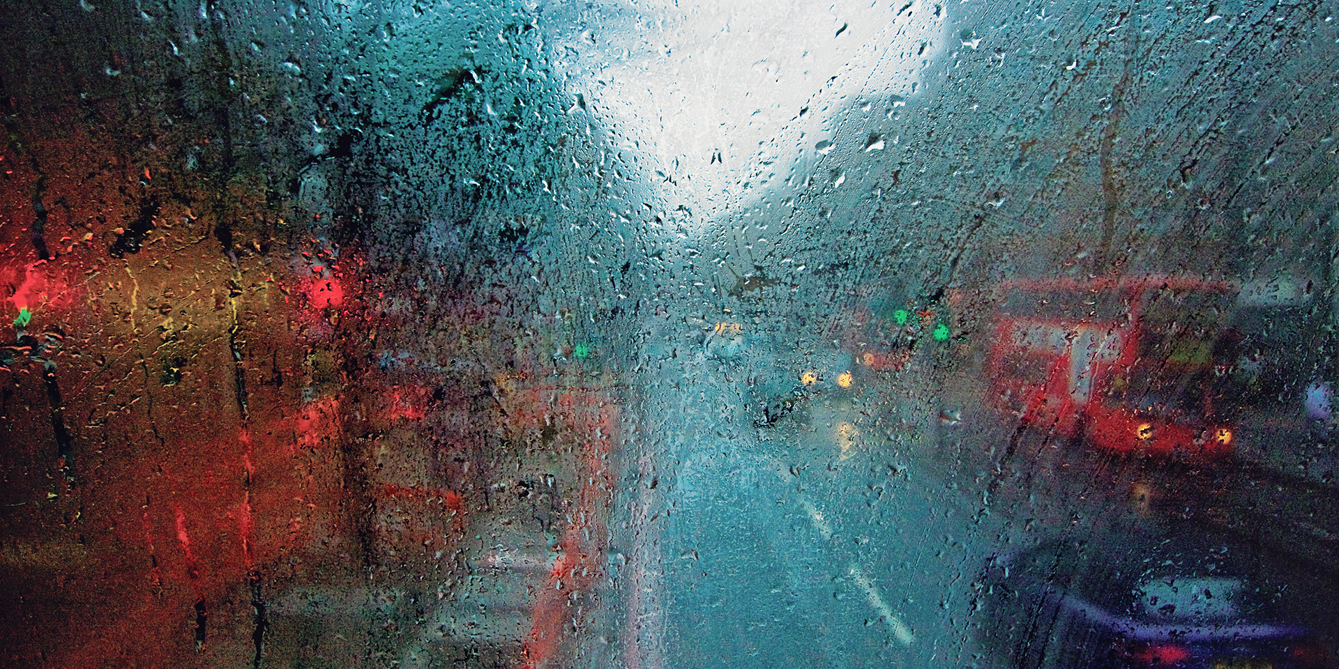
Met Office daily weather: unsettled conditions dominating much of the country
The end of the week will bring unsettled conditions dominating much of the country.
A combination of rain, showers, strong winds, and lower-than-average temperatures will be the main features as we move from Friday into Saturday.
Friday will see cloud and rain, at times heavy, affecting eastern Scotland and north-east England. Elsewhere, the weather will be a mix of sunshine and showers, some of which may be heavy and thundery. The driest conditions are expected across eastern and south-eastern England, as well as parts of western and south-western Scotland.
It will remain rather windy for most areas, with coastal and some local inland gales possible, particularly in northern and north-eastern Scotland and the far south-west. Temperatures will be on the cold side for the time of year, and the wind will accentuate the chill, making it feel colder than the thermometer suggests.
Wondering what the weekend weather has in store?
— Met Office (@metoffice) October 23, 2025
Storm Benjamin is moving away, but northerly winds will bring a noticeable chill.
Find out all the details in our weekend forecast with Aidan 👇 pic.twitter.com/WAKYK6LGYh
As we head into Friday night, cloud and rain, occasionally heavy, will persist in the north-east, extending south into England before gradually pulling away into the North Sea. Elsewhere, expect a mixture of clear spells and further showers, especially across windward coasts in west Wales and south-west England. Showers over northern Scotland may fall as snow over the mountains.
Winds will remain strong, with gales continuing to affect North Sea coasts. The cold air will lead to patchy frost in the north, particularly over high ground and in well-sheltered lowland spots in Scotland and northern England. It will be less cold in the cloudier south.
Outlook for Saturday
Saturday will be generally cloudy with outbreaks of rain at times in the far north-east and east, especially early in the day. Elsewhere, expect variable cloud with some clear or sunny spells and showers, most frequent in the north and west but likely less heavy than on Friday. Some snow is still possible over Scottish mountains. It will remain breezy, with gales or locally severe gales still possible for North Sea coasts. The cold feel will persist.
Met Office presenter and meteorologist, Honor Criswick, said: "it is going to be continuing to feel chilly by friday morning, but largely frostfree. and particularly across parts of the east, it's going to be a much brighter start to the day. still some showers and places mainly pushing in from the west. could merge together to bring some longer spells of rain.
"Northeastern parts of Scotland, northeastern England, too could see some quite persistent, possibly heavy outbreaks of rain by the time we reach friday afternoon. but for the bulk of the country, there should still be plenty of bright spells. still quite breezy and still feeling chilly in that wind, too. highs once again reaching around 12 to 13°C. around 10°C in the north, but obviously feeling a lot chillier than that in those brisk northerly winds."


