What are clouds?
Easy to digest information about clouds for young people - how do they form, how can you tell them apart and more!
What are clouds made of?
Clouds are made up of lots of tiny water droplets or ice particles floating in the sky at different heights.
How do clouds form?
As the sun heats water it turns into an invisible gas called water vapour, this is called evaporation. The higher up you get in the sky, the cooler the temperature, so as water vapour rises it cools. Eventually it becomes cool enough to turn back into water and a cloud forms, which we can see in the sky.
How do clouds float
Clouds are warmer than the surrounding air, meaning that they float because warm air is lighter than cool air.
This is because when water vapour cools into water droplets a small amount of heat is released.
Where do clouds exist?
All the main cloud types live in the troposphere; this is the lowest part of the atmosphere, closest to the ground.
Above the troposphere is the stratosphere and above that is the mesosphere, thermosphere and exosphere.
Why do clouds look different from one another?
There are 10 different cloud types all given Latin names based on their shape and position, these are:
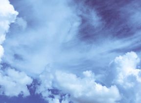
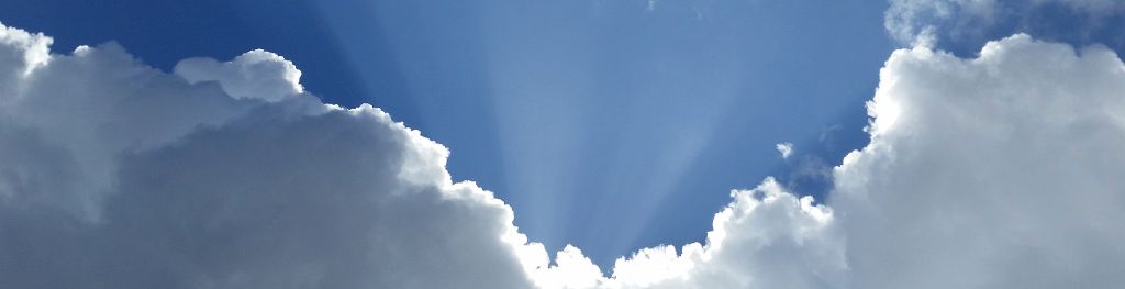
Cumulus
These look like fluffy balls of cotton wool. Usually cumulus are found on calm clear days and indicate fair weather, but they can grow into towering thunderstorms given the right conditions.
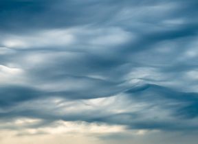
Stratus
These are flat, grey, featureless layers which often sit low to the ground, hiding the clouds above. Sometimes these can produce a light drizzle. Fog is simply a stratus cloud which has come down to surface level, so when you walk through fog, you are actually walking through a cloud.
Stratocumulus
A layer of stratus clouds can break up to form cumulus or an area of cumulus can squeeze together to form stratus. The period in between is its own type of cloud, known as stratocumulus.
Altostratus
The 'Alto' clouds are found in the middle of the troposphere, between the low level water-based clouds and the high level ice-based clouds. Altostratus is a mid level stratus cloud which is usually thinner than stratus and usually lighter. If you look carefully you may be able to see the sun shining through.
Altocumulus
Like altostratus, altocumulus are just a mid level cumulus cloud. There is a difference however, as altocumulus are visibly smaller than cumulus and are made of both ice and water.
Cirrus
Cirrus are the highest level clouds, made entirely of ice, this are wispy looking clouds which look like horses tails.
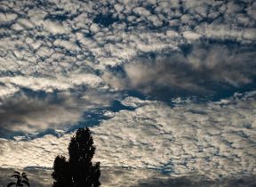
Cirrocumulus
These are cumulus clouds at cirrus height. Cirrocumulus is composed entirely of ice and look like little fish scales in the sky.
Cirrostratus
Thin wispy layers high in the sky, cirrostratus are unlike their mid and low level cousins as they can give rise to beautiful optical effects such as Haloes. The sun still shines brightly through these layers so even though the sky may be covered you still can see your shadow faintly on the ground.
Nimbostratus
'Nimbus' is the Latin for rain cloud. Nimbostratus produces long lasting rain or snow that is light to moderate intensity. These are tall stratus clouds existing at low and mid levels.
Cumulonimbus
Also known as 'the king of clouds' cumulonimbus are responsible for bringing very heavy rain and hail to an area over a short space of time.
These are also the only clouds that can produce thunder and lightning. Cumulonimbus are very tall and grow through all layers of the sky often with a giant 'anvil' shaped top.
How can you tell the difference between cumulus, altocumulus and cirrocumulus?
It's not so hard to roughly tell different clouds apart using just your hands! If you stretch your arm out as far as you can up to the cloud and make a fist, if the cloud is larger it's a cumulus.
If it is smaller than a fist try pointing your thumb at it, if its larger than your thumb its altocumulus, if it is smaller still it is most probably a cirrocumulus.
Why are clouds white?
Clouds are white because the droplets within them are bigger than the particles in the blue sky around them. This makes cloud droplets able to scatter and split up light into various colours which then come together to create white light and hence a white cloud.
Clouds become grey when they are thick enough not to allow light through, making for a shadowy appearance.
What are contrails?
'Contrails' or condensation trails are formed when planes pass through cool air with little water content. The injection of warm, moist air from the exhaust of a plane produces a cloud trail in its path.
Can you forecast the weather by looking at the clouds?
It is very hard to predict the weather using the clouds, but you can have an educated guess at what the weather might do next! If the clouds above are dark and ragged, you can sometimes expect rain to follow, whereas if the sky is mainly blue you can expect there to be little rain.
In the day though if you see cumulus clouds getting taller and taller you may experience sharp showers in the evening or even thunder and lightning, though this often only happens when it has been a hot, humid, day.