
Storm Barra named
Author: Press Office
13:23 (UTC) on Sun 5 Dec 2021
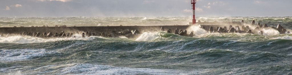
A deep area of low-pressure moving in from the Atlantic on Tuesday [7 December, 2021] has been named as Storm Barra by Met Éireann for the level of impacts expected for the Republic of Ireland.
As the system moves in from west, the strongest winds and impacts are expected to affect the Republic of Ireland. As the system begins to weaken, it will bring strong winds and rain, with the rain turning to snow across northern England and Scotland. In response the Met Office has issued a series of yellow National Severe Weather Warnings for wind and snow. These warnings will affect most of the UK.
Frank Saunders is a Chief Meteorologist at the Met Office. He said: “Strong winds arriving across the west through Tuesday morning, will spread inland and reach eastern areas through the afternoon and early evening. Gusts of 45-50 mph are expected widely, with 60-70 mph in exposed coastal locations. The strongest winds will ease across inland areas into the overnight period.”
Deputy Chief Meteorologist, Brent Walker said: “A band of rain will turn to snow across northern England and Scotland through Tuesday. Two to five cm of snow is expected to accumulate quite widely across the warning area, but locally this could reach ten cm, particularly in parts of the Southern Uplands and Highlands.”
He added: “Strong south-easterly winds will also lead to snow drifting in places, particularly over the highest routes, adding to poor visibilities.”
Storm Barra - the second named storm of the season - is a name selected as part of the Name Our Storms collaboration with Irish forecasters Met Éireann and Dutch forecasters KNMI.
Keep track of current weather warnings on the weather warning page. Following us on Twitter and Facebook, as well as using our mobile app which is available for iPhone from the App store and for Android from the Google Play store.
Updated at 13:19 (UTC) on Sun 5 Dec 2021