Unsettled weather continues for most
Author: Press Office
10:49 (UTC+1) on Wed 17 Aug 2022
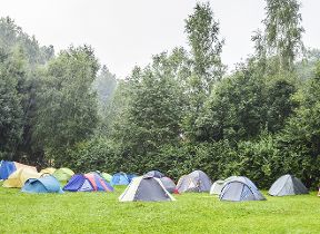
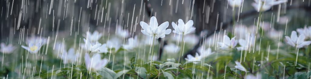
Unsettled weather is continuing for much of the UK in the coming days and into the weekend, with periods of showers and at times impactful thunderstorms in the forecast.
Today (Wednesday), yellow and amber thunderstorm warnings are in force from the Met Office. The amber warning covers much of the southeast and some of the south coast of England and comes into force from 11am and lasts until 10pm today. Within this warning area, 30-50mm of rain could fall in less than an hour and some isolated spots could see in excess of 100mm in a few hours.
⚠️⚠️ Amber weather warning issued ⚠️⚠️
— Met Office (@metoffice) August 17, 2022
Thunderstorms across parts of southeast England
Wednesday 1100 – 2200
Latest info 👉 https://t.co/QwDLMfRBfs pic.twitter.com/Xg5JSF5j6H
A wider yellow thunderstorm warning which covers much of southern and central England, as well as parts of the south of Wales, is in force through the day today, with 30mm of rain possible for some spots within in an hour, while any slow-moving thunderstorms could see totals reach up to 60mm of rain over three hours.
Met Office Chief Meteorologist Steven Ramsdale said: “Although not everyone within the warning areas will see the thundery downpours, where they do occur there’s a potential for some very large rainfall totals today. Despite the rain falling on some extremely dry ground, there’s a potential for surface-water flooding.
“Within the warning areas, potential impacts include the chance for some power cuts, difficult travelling conditions thanks to sudden changes in driving conditions and possible flooding of travel routes, homes and businesses. Hail and lightning could also be embedded within these systems, creating an additional hazard.”
The potential for thunderstorms reduces overnight tonight, although further rain and showers will move in from the west and northwest on Thursday. This will weaken as it moves to the east, providing little in the way of prolonged rain for the southeast.
Weekend ahead
The unsettled theme looks to continue through the weekend, with sporadic showers for most and at times more consistent rain building in from the west and northwest.
Met Office Deputy Chief Meteorologist Dan Rudman said: “While there’s more detail to be determined into the weekend, the main theme for Saturday is unsettled spell of weather with some showers but also some sunny spells, while some gusty winds and more consistent rain could affect the northwest.
“Later in the weekend, and into early next week, a warm front is expected to move in from the Atlantic, which brings with it some further rain from the west, gradually spreading eastwards. The heaviest rain, and highest totals, are expected to be in western areas but as the front moves eastwards it should weaken, reducing any totals in these areas, and the southeast in particular could stay mostly dry.”
Warming up next week
There’s a signal for some gradual warming through next week, with the return of high pressure bringing settled weather for most, although temperatures are unlikely to reach the same values as reached during the heatwave earlier this month.
Dan Rudman continued: “There’s broad agreement between our forecasting models for a return to more settled conditions for most through next week, with temperatures likely to be above average for most. Although it’s too early to put precise temperatures figures on it a week away, this high pressure is unlikely to see temperatures as high as the recent heatwave, but could still be warm for many.”
You can find the latest forecast on our website, by following us on Twitter and Facebook, as well as on our mobile app which is available for iPhone from the App store and for Android from the Google Play store. Keep track of current weather warnings on the weather warning page.