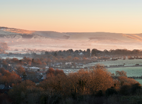
Unsettled weather to come
Author: Press Office
12:55 (UTC) on Fri 11 Feb 2022
An active jet stream will drive a series of low-pressure systems across the country heralding another change to the weather.
This will begin as we head into the weekend and persist into next week. The first of these low-pressure systems will cross to the north of Scotland on Saturday, bringing wet and windy weather in from the north and west for the start of the weekend. England, Wales, and southern Scotland will see outbreaks of rain. The Southeast, however, will stay dry with some sunshine, the wind and rain arriving Saturday night.
Met Office Chief Meteorologist, Steve Ramsdale, said; “A new area of low-pressure, this time moving across England and Wales, arrives on Saturday night then slowly clears to the east on Sunday. This brings wet and windy weather to the country, particularly Wales, and we have issued a Yellow National Severe Weather Warning for rain for this.”
“As the system pulls away from the UK there will be another short lived, colder and more settled spell Monday night with one or two wintry showers possible over high ground in Scotland and perhaps a frost elsewhere.”
⚠️ Yellow weather warning issued ⚠️
— Met Office (@metoffice) February 11, 2022
Rain across parts of Wales
Sunday 0000-1800
Latest info 👉 https://t.co/QwDLMfRBfs
Stay #WeatherAware⚠️ pic.twitter.com/Eanva8SDSh
There is more unsettled weather for many on Tuesday, with rain and showers crossing the country, before the arrival of another deep low-pressure system on Wednesday. The development of this system will be closely watched as it brings another wet and windy day with the potential for National Severe Weather Warnings to be issued.
This changeable theme is fairly typical for UK winters and looks set to continue beyond mid week with the jet stream lying across the UK. This will bring further spells of wet and windy weather followed by sunshine and showers and temperatures will vary with spells of cold air between the milder, unsettled weather.
Check the latest forecast for your area on our website, by following us on Twitter and Facebook, as well as on our mobile app which is available for iPhone from the App store and for Android from the Google Play store. Keep track of current weather warnings on the weather warning page.