
Unsettled week ahead of drier spell to come
Author: Press Office
12:28 (UTC+1) on Mon 23 May 2022
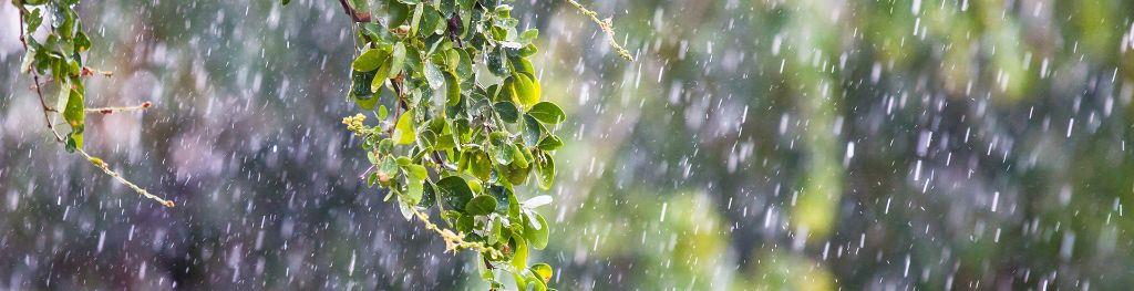
Periods of unsettled weather will move across the UK this week, with spells of rain and gusty winds expected at times for most areas.
The jet stream – which plays a crucial role in the dominant weather over the UK – will be strengthening through the week, bringing low pressure in from the west, resulting in wind and rain for much of the UK, although there will still be some drier interludes.
Through the week, the strongest winds are likely to be in the northwest of the country from Wednesday, with the strongest winds likely on Thursday into Friday, although the exact extent and positioning of the strongest winds during this period is still being determined.
A 150mph jet stream will cross the north Atlantic to bring an unseasonably windy spell to the UK midweek
— Met Office (@metoffice) May 23, 2022
Coastal gales are likely in the northwest on Wednesday and Thursday, there's still some uncertainty in the details so keep an eye on the forecast over the coming days 👀 pic.twitter.com/nZl5TDHqNG
Elsewhere, periods of rain are possible through the week for most areas, with some short thundery downpours possible in the south – most likely in the southeast on Tuesday.
Met Office Deputy Chief Meteorologist Adam Thornhill said: “The jet stream is strengthening through the week and as a result will be the driving force behind low pressure moving in off the Atlantic and bringing periods of rain and wind for most this week.
“The strongest winds will be in the northwest and although most areas of the UK will see some rain in the week, the highest accumulations are expected in western areas, with the southeast most likely to escape any rain. Weather of this nature isn’t unusual in a UK spring, as changes in the jet stream frequently bring interludes of unsettled weather.”
Settling down
Some more settled weather looks to be on the way heading into the weekend, as the jet stream weakens, and high pressure begins to build in from the southwest. Although more detail will be determined in the coming days, showers are possible in the far north on Friday, with areas further south most likely to stay dry and bright. Temperatures are expected to be widely around average for the time of year, although maybe warm in the south after some cool mornings, and feeling cool on exposed North Sea coasts.
Next week (W/C 30 May) could see a continuation of this dry and bright weather near the southwest, while showers are possible at times, mainly in the north and east of the UK.
More details will be available for the Jubilee Weekend nearer the time, but current indications suggest temperatures will mostly be around average for the time of year, possibly slightly warmer in southern and western areas. Any showers are likely to be in north or eastern regions.
You can check the latest forecast on our website, by following us on Twitter and Facebook, as well as on our mobile app which is available for iPhone from the App store and for Android from the Google Play store. Keep track of current weather warnings on the weather warning page.