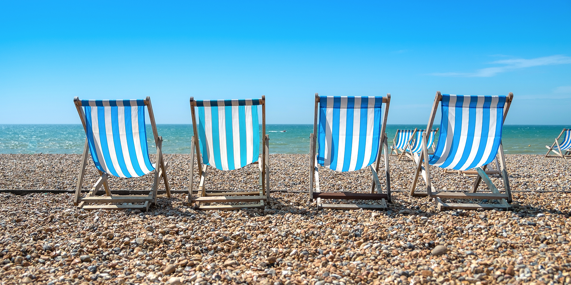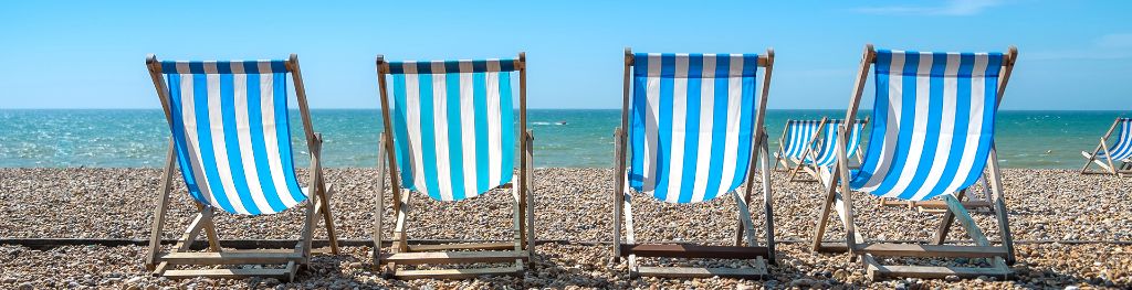
Met Office daily weather: More hot weather to come
There's more warm weather on the horizon as we head towards the weekend
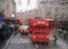
Thursday will begin with residual showers and isolated thunderstorms lingering across the southeast, gradually clearing through the morning.
Western areas will see scattered, mainly light showers developing later in the day. Across central and eastern Scotland, and possibly far northeast England, thunderstorms are expected to develop before dawn. These may bring torrential downpours, hail and frequent lightning as they drift northwards into the Northern Isles.
A yellow weather warning for thunderstorms has been issued for 12am until 10pm across Scotland and Northern Ireland.
Low cloud is likely to become concentrated along northeastern coasts, reducing visibility at times. Temperatures will be warm or very warm for most, although cooler conditions are expected near windward coasts. The southeast may see isolated highs reaching 30°C, but many areas will be a few degrees cooler than Wednesday.
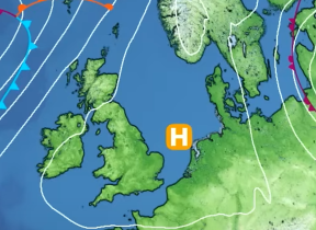
As high pressure builds to the north this weekend it will stay very warm for many 🌡️
— Met Office (@metoffice) August 13, 2025
However, the change in wind direction could bring cooler and cloudier weather along eastern coasts ☁️
Here is the latest...👇 pic.twitter.com/U6IsPHZo69
Thursday night will remain mostly warm, continuing the trend of elevated overnight temperatures.
Outlook for Friday
Friday will bring a contrast in conditions between north and south. Northern areas will be fairly cloudy, though much of the day will remain dry. Some light rain or drizzle is possible, particularly in eastern Scotland, where it may become heavier and more persistent in places. Coastal regions may experience murky conditions at times due to low cloud and mist.
In contrast, southern areas will enjoy widely sunny conditions, with any early mist or fog quickly dispersing. Cloud may increase later in eastern parts, and the extreme southwest could see the odd shower. Winds will be light for most, though an easterly breeze will pick up across southern and southwestern regions.
Temperatures will be near average in cloudier northern areas, but elsewhere they will remain above average. Southern regions will be widely very warm or hot, continuing the summery feel. Friday night is expected to stay warm, particularly in the south.
Met Office presenter and meteorologist, Alex Burkill, said: “Through Thursday, again, the big talking point will be the heat, but also the fact that there will be these heavy thundery downpours. You can see plenty of showers likely to develop across parts of Northern Ireland into Northern England and also across parts of Scotland, in particular, eastern Scotland. That's where they're going to be heaviest.
“Meanwhile, towards the south of the country, a lot of fine weather. Probably not as grey and cloudy as it was through Wednesday morning. Across parts of the southwest, a brighter, sunnier picture. As I mentioned, we do still have some more thunderstorms likely across northern parts. We have a thunderstorm warning for Thursday. This covers Northern Ireland and the whole of Scotland. And we could see some heavier rainfall rates. We're talking 20 to 40 millimetres in an hour and perhaps up to 40 to 60 millimetres in an hour in some places. And again, the risk of frequent lightning and some hail and some gusty winds where we see those downpours.
“Always worth bearing in mind when it comes to thunderstorms, when it comes to showers, they're hit and miss. Many places will avoid them entirely, but some places are at risk of seeing some heavy, disruptive, thundery rain. Temperatures are going to be a couple of degrees down for many of us on Thursday compared to Wednesday. That being said, it's still going to feel pretty hot, especially across parts of the east and southeast where you get that decent sunshine. But yes, temperatures just peg back a little bit perhaps and we're looking at low to possibly mid-20s.
“Across some western areas. We may just about scrape into the low-30s across the east of the country, but it's not quite as hot as Wednesday. Then a few more showers to come as we go through the end of the day. Still some pretty intense one, particularly across eastern parts of Scotland here. We could see some further disruption, which is why the warning stays with us until the evening. But then perhaps a slightly drier, calmer theme as we go through into Friday.
“And for this weekend, the weather's looking generally fine. Not totally dry, there will be some showery rain pushing through and we're actually likely to see temperatures rising again. So, whilst Thursday looks a touch cooler than some recent days, I think by Friday, Saturday, Sunday, more likely to be in the low-30s in a few more places as well. So more hot weather to come.”