Met Office daily weather: Cooler temperatures than last week with some sunny spells
Cooler temperatures than last week with some sunny spells
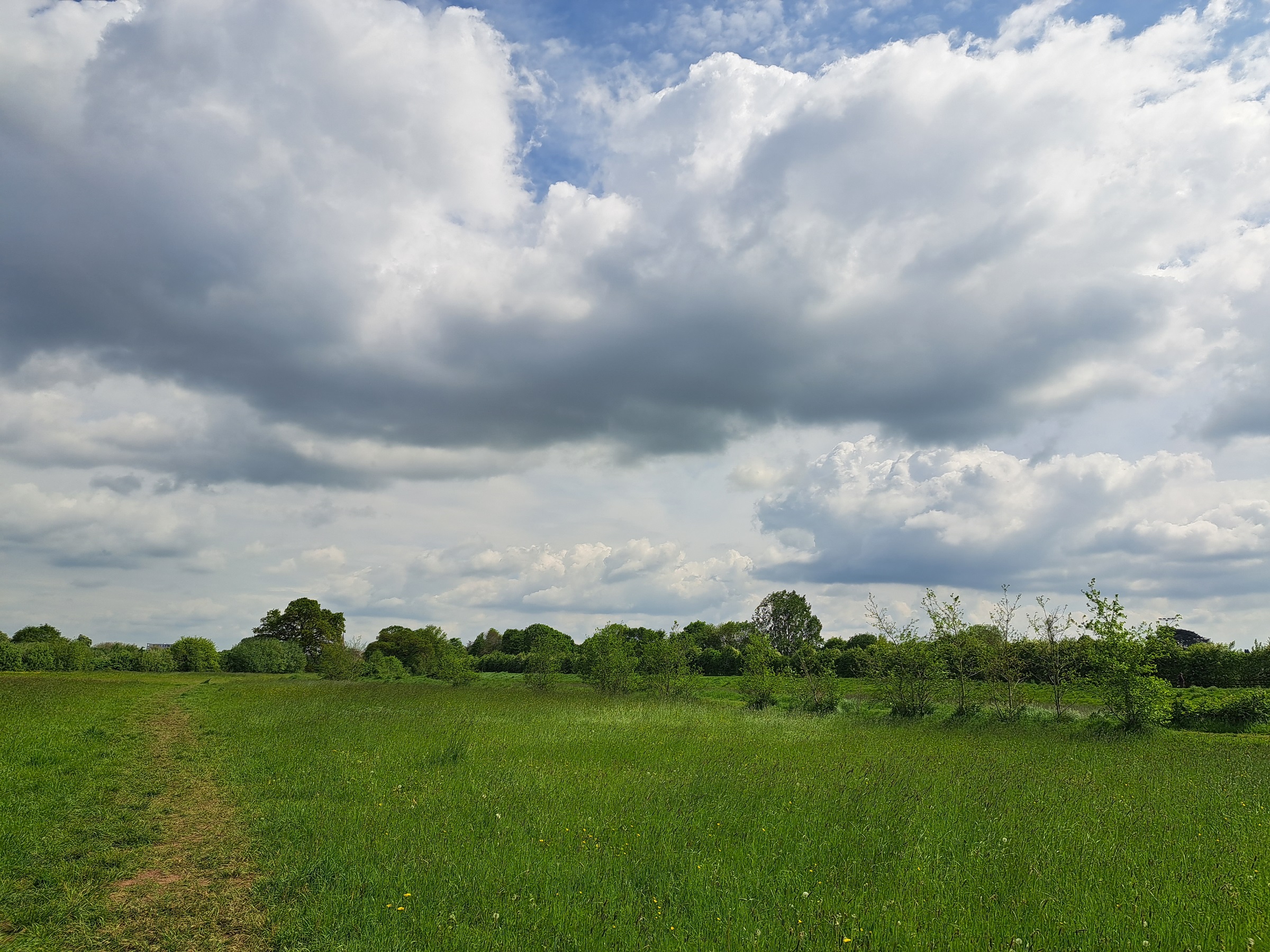
Monday began with areas of low cloud and patchy drizzle affecting eastern and some central regions. While this cloud is expected to lift and break inland, it may persist in places, particularly along North Sea coasts, far northern Scotland and parts of northern England, where conditions will remain rather cool. In contrast, western and north-western areas will enjoy the sunniest spells and very warm temperatures.
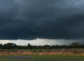
Sporadic bursts of rain, locally heavy and possibly thundery, are forecast for the far south-west. Through the evening and into Monday night, a few showers may linger in the south-west, with a low probability of thunder. Low cloud will expand back inland across central, eastern and north-eastern areas, bringing the chance of drizzle. Western regions will see some clear spells.
Temperatures will vary significantly, with a cool footprint expected across parts of northern and north-eastern England and the north Midlands due to lingering cloud. Meanwhile, central and western Scotland, south-west England and west Wales are likely to reach the mid-20s. Monday night will be slightly cooler nationwide, though western Scotland may see above-average minimum temperatures.
Monday morning will start quite cloudy for most of us, perhaps with the odd spot of drizzle in the east ☁️
— Met Office (@metoffice) August 17, 2025
Sunnier skies in some western areas and slowly brightening up elsewhere through the morning 🌤️
Showers possible in the far southwest, these locally heavy and thundery ⛈️ pic.twitter.com/WwOkOirocR
Outlook for Tuesday
Tuesday will see low cloud breaking up inland, although some eastern coastal areas may remain rather cloudy. A band of thicker cloud with light rain and drizzle will move south-southeast across northern and eastern Scotland, later reaching north-east England. Many inland and western areas will benefit from sunny spells.
There remains an ongoing chance of showers, potentially thundery, across south-west England. Breezy conditions are expected, particularly along eastern and southern coastal areas. Temperatures will range from rather cool in cloudier eastern regions to warm in the brighter west. Maximum temperatures are expected to reach 23–25°C in sunnier parts of central-southern and south-eastern England and western UK, with isolated peaks of 26°C in the south-east.
Tuesday night will bring clearing showers in the south-west, with variable cloud and clear spells elsewhere. A band of thicker cloud and light rain or drizzle will continue to move south-southeast across northern and central England and Wales.
READ MORE: What is wind and how do we measure it?
Met Office presenter and meteorologist, Tom Morgan, said: “Quite grey cloudy skies for many as we begin the day. And that cloud is going to persist into this afternoon for some as well, particularly across the Midlands and northeastern parts of England where we could even see a few spits and spots of drizzle at times. But otherwise, the sunshine tending to slowly break that cloud up and we will see brighter skies for many as we go into this afternoon. The best of the sunshine will be central and western parts of Scotland, parts of Northern Ireland as well. And here we'll probably see temperatures into the mid-20s, perhaps as high as 25°C or 26°C in places. And a warm day to come across more southern areas as well.
“But for some North Sea coastal regions where that cloud persists, it's going to feel pretty cool for the time of year. So only 16°C or 17°C and perhaps quite misty at times over the higher ground. We'll also need to watch out for a few showers across the very far southwest, more especially Cornwall, maybe the odd thunderstorm at times this morning.
“But as we go through the course of tonight, skies turning cloudier here and perhaps a few spots of drizzle once again across northeastern parts of England and perhaps even a little bit more in a way of persistent rain moving into the very far northeast of Scotland. A few showers once again for the southwest of England as well. Perhaps thundery here, but for most it will be a dry night. And with that cloud around, it's not going to be particularly chilly either. So, temperatures holding up in the low to mid-teens for most of us. It does mean that Tuesday will start on a fairly gray note once again for the vast majority, especially so in the east where a few spots of drizzle once again is possible.
READ MORE: How is temperature measured?
“And across the northeast of Scotland, we could just see a more persistent band of ranges pushing through for a short time. Showers also across the southwest of England. these potentially heavy for Devon and Cornwall and maybe just fringing into the very far south of Wales as well. Perhaps the odd rumble of thunder once again, but skies will generally tend to brighten as we go through the day. So, for Wales and southern parts of England, that's where we like to see the brightest conditions on Tuesday.
“So again, temperatures into the mid20s Celsius and feeling pleasantly warm as well. But overall, a cooler day to come for Scotland, Northern Ireland, and in particular, Northern England, where skies are likely to stay fairly cloudy and gloomy through most of the afternoon. And these temperatures a little bit below average for the time of year. So, feeling particularly cool compared to those we saw last week.”
Keep up to date with weather warnings, and you can find the latest forecast on our website, on YouTube, by following us on X and Facebook, as well as on our mobile app which is available for iPhone from the App store and for Android from the Google Play store.