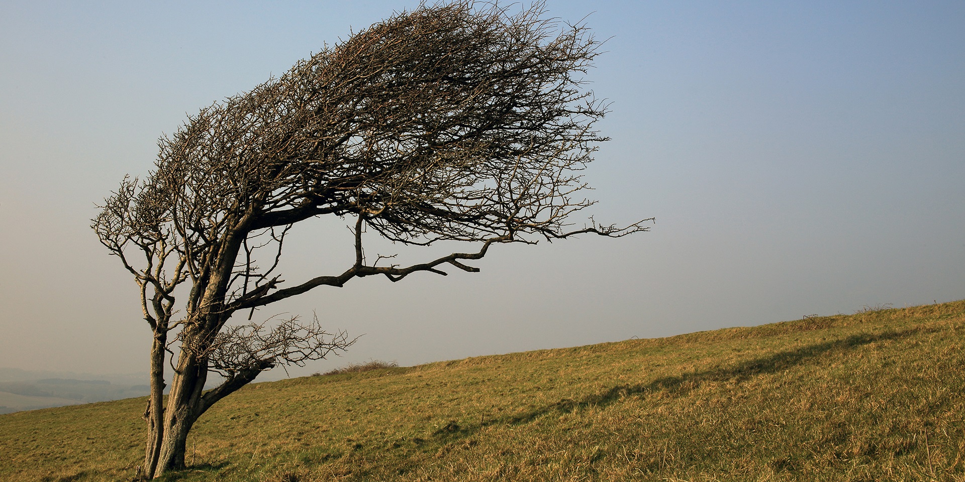
Wind is a fundamental element of our weather, shaping everything from daily forecasts to global climate patterns.
Wind is the invisible force we feel on our faces, see rustling through trees, and hear whistling around buildings. But what exactly is wind, and why does it behave the way it does?
What is wind?
At its core, wind is simply air in motion. It travels between areas of differing atmospheric pressure, driven by the natural tendency of air to move from high-pressure zones to low-pressure ones. Atmospheric pressure itself is a measure of the weight of air pressing down on the Earth’s surface. Where there is more air above us, the pressure is higher; where there is less, the pressure is lower.
This movement of air from high to low pressure is what we recognise as wind. Without these pressure differences, not only would we have no wind, but we’d also have no weather at all.
READ MORE: Tornadoes in the UK: How do they differ from those in the US?
What causes wind?
The differences in atmospheric pressure that drive wind are caused by the rising and sinking of air in the atmosphere. Warm air rises, creating areas of low pressure, while cooler air sinks, creating high pressure. This vertical movement of air is essential to the formation of wind and weather systems.
On a global scale, the sun plays a key role. Its rays strike the Earth more directly at the equator than at the poles, creating a temperature gradient. Warm air rises at the equator, leading to low pressure, while cold air sinks at the poles, leading to high pressure. This sets up a global circulation pattern as air moves to balance these differences.
Large-scale wind patterns
The global wind system is influenced by the Earth’s rotation, known as the Coriolis effect. This causes moving air to be deflected to the right in the northern hemisphere and to the left in the southern hemisphere. As a result, air doesn’t flow directly from high to low pressure but follows a curved path.
Air rising at the equator moves polewards at high altitudes, cools, and sinks around 30 degrees latitude, creating high-pressure zones known as the subtropical highs. One such system, the Azores High, frequently affects UK weather. Some of this sinking air returns to the equator as trade winds, while another portion moves towards the poles, meeting cold polar air in the mid-latitudes.
This interaction between warm subtropical air and cold polar air generates low-pressure systems that bring wind and rain to regions like the UK. These systems are part of the mid-latitude cell and are responsible for much of our day-to-day weather.
READ MORE: What is the Azores High?
Wind flow and direction
Wind flow is governed by the pressure gradient force, which pushes air from high to low pressure. The greater the difference in pressure, the stronger the wind. However, due to the Coriolis effect, wind doesn’t travel in a straight line. Instead, it spirals outward from high-pressure areas and inward towards low-pressure areas.
In the northern hemisphere, wind spirals anticlockwise around low-pressure systems and clockwise around high-pressure systems. The opposite is true in the southern hemisphere. This pattern gives the UK its prevailing winds from the west to southwest.
Measuring wind
Wind is measured using instruments called anemometers, which record speed, direction, and gust strength. Wind speed is typically measured in knots (nautical miles per hour), and direction is reported relative to true north. For example, an easterly wind blows from the east, or 90 degrees.
Wind speed increases with height and is influenced by terrain and nearby obstacles. The ideal location for measuring wind is over flat, open ground with no large obstructions within 300 metres.
READ MORE: What are weather fronts?
Types of anemometers
The most common type is the cup anemometer, which uses three or four cups mounted around a vertical spindle. As wind blows into the cups, the spindle rotates, and the speed of rotation correlates with wind speed. These instruments are calibrated every five years to ensure accuracy.
Wind direction is measured using a vane, which consists of a horizontal arm with a flat plate on one end and a balance weight on the other. The vane rotates freely to align with the wind, indicating its direction.
In extreme conditions, such as mountaintops, sonic anemometers are used. These have no moving parts and measure wind speed using acoustic signals between transducers. Corrections are applied to account for airflow distortion caused by the instrument’s structure.
Measuring gusts and wind intensity
Wind varies rapidly over short periods, so it’s sampled frequently, every 0.25 seconds, to capture gusts. Gust speed is defined as the maximum three-second average wind speed within a given period. Overall wind intensity is better represented by the average speed and direction over the ten minutes leading up to the reporting time.
A gale is defined as a mean wind speed of 34-40 knots over ten minutes. Stronger winds are classified using terms such as ‘severe gale’ or ‘storm’, depending on their intensity.
When it comes to marine forecasts, the Met Office uses The Beaufort scale, a practical system for gauging wind strength based on visual assessments of sea surface conditions.
Wind is a dynamic and complex phenomenon, shaped by pressure differences, temperature gradients, and the Earth’s rotation. From gentle breezes to powerful storms, understanding how wind works helps us better predict and prepare for the weather. Whether it’s measuring gusts with precision instruments or analysing global circulation patterns, the science of wind remains a cornerstone of meteorology.
Keep up to date with weather warnings, and you can find the latest forecast on our website, on YouTube, by following us on X and Facebook, as well as on our mobile app which is available for iPhone from the App store and for Android from the Google Play store.


