Met Office daily weather: Showers and wind dominate but some brighter spells to come
Showers and wind dominate this weekend's forecast but some brighter spells to come
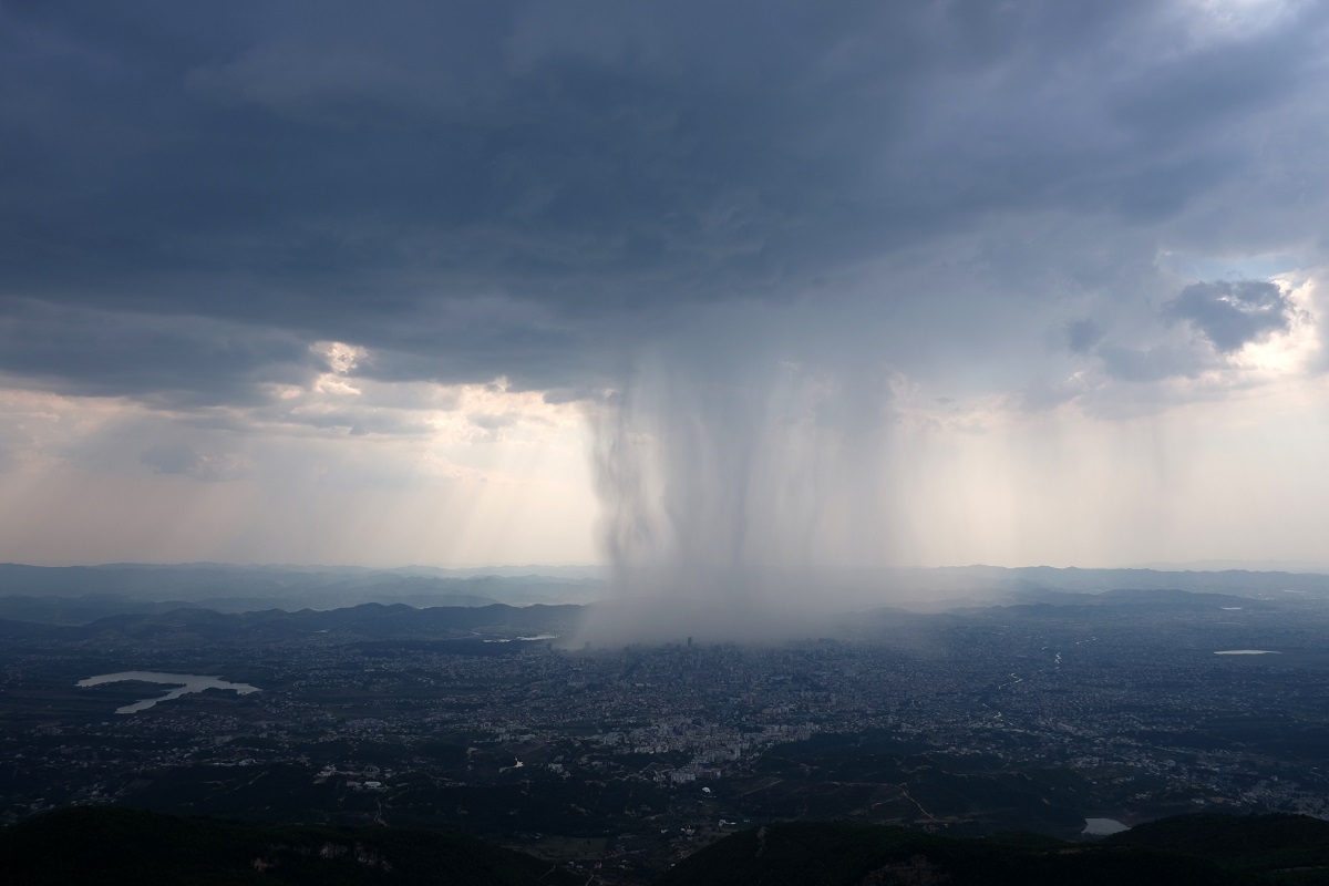
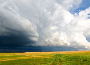
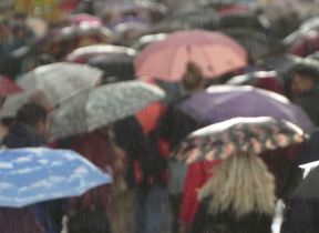
Saturday will see a band of rain lingering across northeast Scotland, gradually easing through the morning. However, showers will persist in the area, with the possibility of some turning heavy at times. Most other regions can expect further rain or showers, particularly affecting windward coasts, where hail and thunder are likely to accompany the precipitation. Strong and gusty winds will add to the unsettled feel, especially in southern areas.
Despite the widespread wet weather, there will be some respite. Northern Ireland, northeast England and southeast Scotland are likely to see the best of any dry spells, with drier conditions also moving into the southwest later in the day. Temperatures will be near normal to rather mild for the time of year, although brisk winds in the south may temper the overall feel. Highs will reach the high single figures in northern areas, while some southern locations could see temperatures climb to 12–13°C.
Rain and showers will continue across northern and eastern areas into Saturday night, but will gradually clear from the southwest. Central and southwestern regions will experience clearer and drier conditions during the evening, although cloud and rain are expected to return overnight, accompanied by breezy conditions in the southwest. It will remain generally mild, with patchy frost limited to northeast Scotland.
Outlook for Sunday
On Sunday, rain across northeast Scotland will become confined to the Northern Isles and gradually fizzle out. Another band of rain will develop over southwestern areas, moving northeast throughout the day and reaching northeast Scotland by evening. Behind this, clearer conditions will spread from the west, although some rain may linger near the south coast of England. Winds will remain generally strong, and after a mild night, daytime temperatures will be near normal in the north and mild in the south.
Met Office presenter and meteorologist, Annie Shuttleworth, said: “For many of us, it's going to be a milder start to Saturday, but a pretty unsettled weekend is on the cards. We will see a series of blustery showers across western areas. These bring a risk of thunderstorms as well as hail, particularly across the English Channel coast. That's where we'll see some very gusty winds.
“It will turn a little bit dry for some of us, however, on Saturday, the best chance of any drier weather. Parts of Scotland, northeastern England, some areas of Northern Ireland actually seeing a drier end to the day on Saturday, too. But for most of us, it's going to be a cloudy and unsettled weekend. Temperatures, however, 10 or 11°C, 12°C for some western areas. So, a milder day and the winds won't be quite as strong by the afternoon.
“So, that's at least one benefit of the weekend as otherwise it is looking fairly unsettled.
Now the cloud does slowly melt away through Saturday evening. Continue to see some showers though across the far north and west of Scotland, but elsewhere it will turn much clearer. So, with that dry interlude, potentially a bit of a cold start on Sunday, but the dry weather won't last long. The next area of low pressure will bring in the next batch of rain through Sunday. So, there is yet more rain to come through the rest of this weekend and in fact into next week.”