Met Office daily weather: Weather set to shift to more wintery conditions
The coming days will see a marked shift to colder, wintry conditions across the UK,
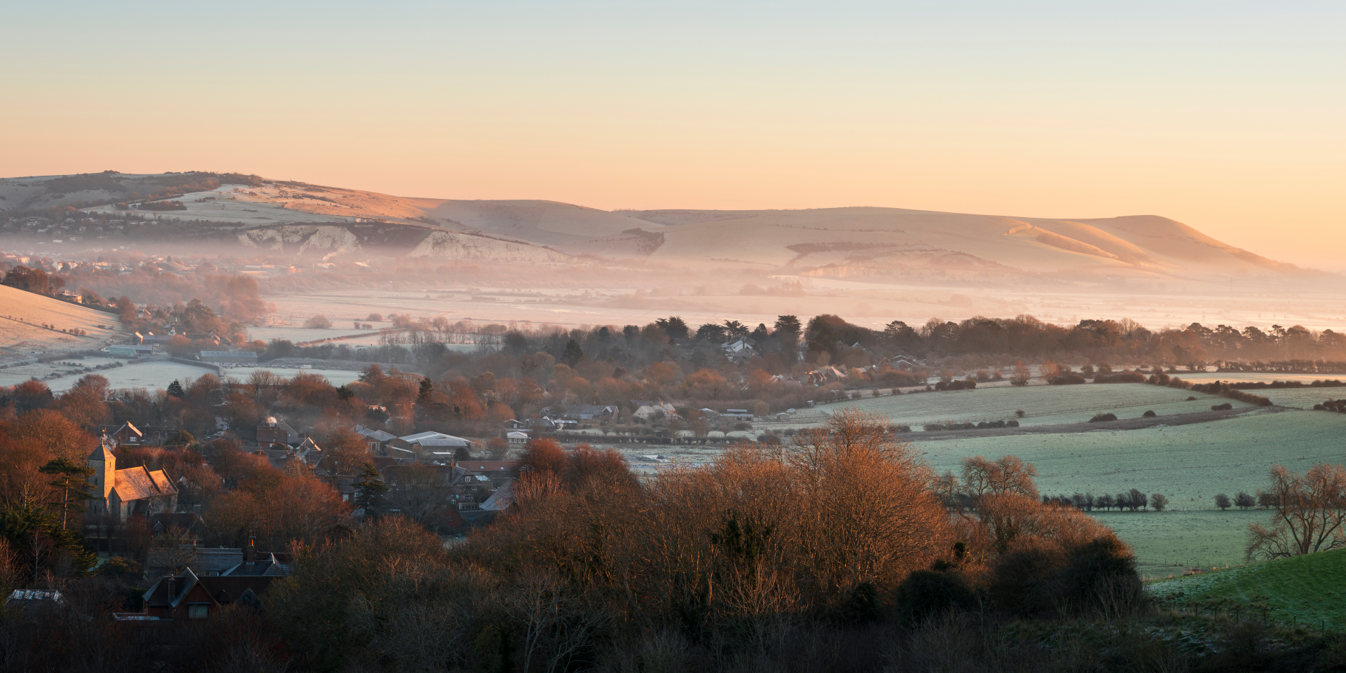
The coming days will see a marked shift to colder, wintry conditions across the UK, with a mix of rain, sleet, and snow affecting many regions. Tuesday brings showery precipitation, with rain and sleet at lower levels and snow over higher ground, particularly across Scotland. A yellow weather warning for ice is in place across parts of southern Scotland and Northern England from 5am to 12pm.
As the day progresses, these wintry conditions will move east-southeast, impacting most parts of the country. While most of the snow will be confined to the highest ground outside Scotland, there remains a low risk of sleet reaching lower levels, mainly in the north of England.
Northern Ireland will see showers turning increasingly wintry later in the day, and frequent snow showers are expected to follow across northern Scotland and the Northern Isles. Temperatures will be rather cold for most, though the far south and southwest may experience conditions closer to the seasonal average.
⚠️ Yellow weather warning issued ⚠️
— Met Office (@metoffice) November 17, 2025
Ice across parts of southern Scotland and northern England
Tuesday 0500 – 1200
Latest info 👉 https://t.co/QwDLMfRBfs
Stay #WeatherAware⚠️ pic.twitter.com/bnzGLuY3XS
As rain and hill snow gradually clear south-eastwards during Tuesday night, clearer spells will develop, but wintry showers will persist in areas exposed to northerly winds, especially northern Scotland, where snow is likely to accumulate. The night will turn widely frosty, with a risk of ice forming, particularly where skies clear.
Outlook for Wednesday
Wednesday begins with areas of rain and wet snow over high ground, lingering at first over England and Wales before clearing southeast through the morning. Wintry and snow showers, already affecting many northern areas, will extend southwards during the day, mainly impacting coastal regions.
Many inland areas will enjoy sunny or clearer interludes, though some places could see banded showers leading to accumulations even at low levels. It will be windy for all, with a significant wind chill making it feel much colder than the thermometer suggests. Daytime temperatures will be well below average, and a widespread frost is expected to set in during the evening, especially in sheltered spots.
Met Office presenter and meteorologist, Annie Shuttleworth, said: “There’s a risk of more wintry hazards becoming a little bit more widespread through Tuesday morning as an area of low pressure starts to move in from the northwest. So that will bring a blanket of cloud across parts of Northern Ireland. More in the way of rain pushing into parts of western Scotland, parts of northwest England as well.
“There's a little bit of uncertainty with quite how widespread that area of rain will be. But further east where we do see clearer skies, temperatures will fall away quite quickly through this evening and overnight. We're expecting quite widely a rural frost. Many towns and cities staying above zero, particularly across southern areas, but it's likely to be quite a chilly and cold start on Tuesday morning.
“More in the way of cloud than this morning. And as I said, a bit more rain and sleet around. We could see some snow falling across the higher ground across more central areas of Scotland and through the Pennines as well. Some sleet could be seen at lower levels as well, but we're not expecting any widespread accumulations to lower levels for any southern areas or northern areas of England. It's mainly across parts of north and Scotland where we're expecting any snow to start accumulating through Tuesday.
“But there's going to be quite a brisk wind as well, that northerly wind still bringing a very chilly feel. So, if you're exposed across coastal areas to this wind, it's going to feel especially cold further south with more cloud around. Temperatures will be around 11°C or 10°C, a little bit milder than Monday.
As we head through Tuesday evening, that risk of snow continues for more north and western areas, and it's going to be another chilly night. Clearer skies across the south and east will allow a frost to develop once again. But it's further north and west where we see snow starting to accumulate. So, keep an eye on the warnings through this week.”