Met Office daily weather: Notably wintry weather with temperatures dropping once again
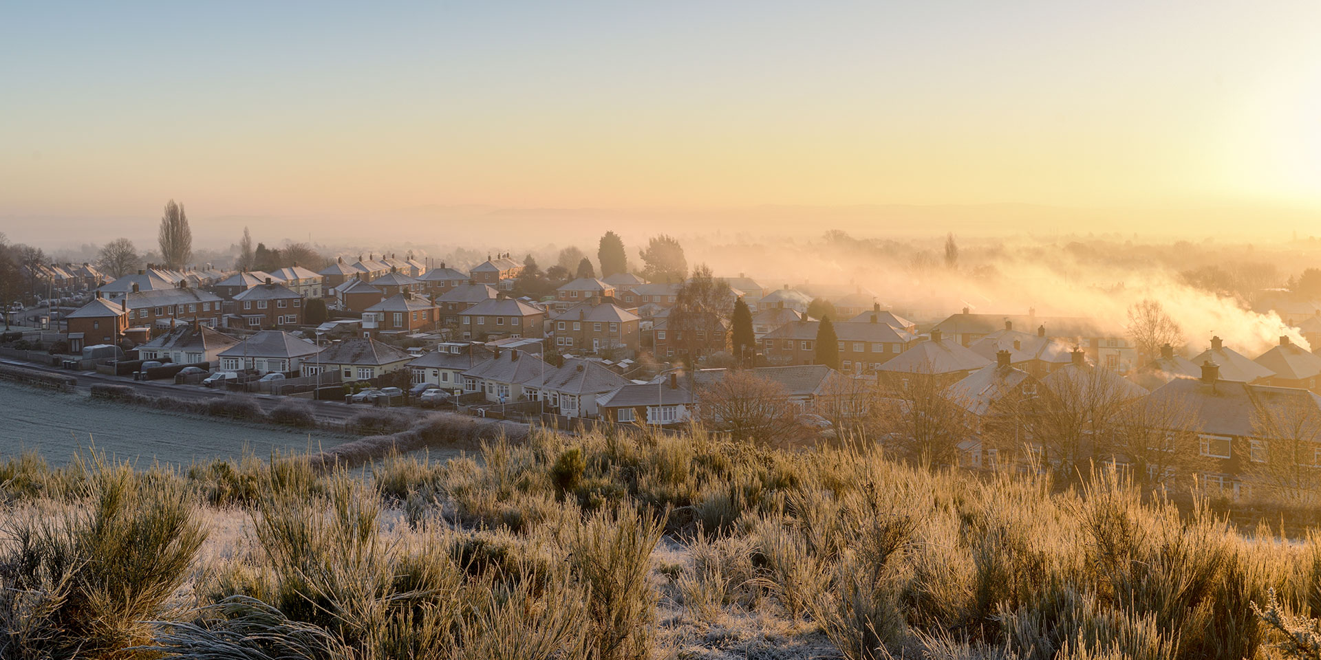
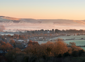
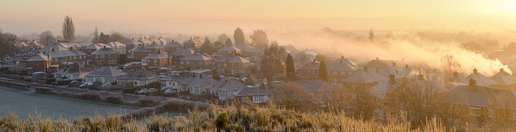
The UK is set to experience a spell of notably cold and wintry weather over the next few days.
The UK is set to experience a spell of notably cold and wintry weather over the next few days.
Wednesday will begin with areas of rain, sleet, and snow, particularly affecting higher ground as these bands move east-southeast across the country. By late morning or early afternoon, the wet weather is expected to clear from southeast England, leaving many inland areas dry for a time. However, frequent showers will persist in windward areas, and by evening, snow showers may fall to all levels across the north and even reach lower levels further south.
There is a small chance that some showers could become organised into more persistent and heavy snow, especially in northern and northeastern regions. Brisk northerly winds will accentuate the cold for all, with early and late frosts likely. Icy conditions may pose an additional hazard, particularly at the start of the day.
Overnight, blustery wintry showers will continue to affect northern, eastern, and western coastal areas, with a risk of thunderstorms. Snow is likely to accumulate over higher ground where showers are most frequent, such as northeast Scotland, northeast England, parts of Northern Ireland, west Wales, and southwest England. Elsewhere, skies will be mainly clear, leading to icy patches on untreated surfaces.
Temperatures will remain well below average, with maximum values some 5 to 9°C below the seasonal norm. Modest elevations in the north may experience an ice day, where temperatures remain below freezing throughout. A widespread and penetrating frost is expected away from windward coasts.
Outlook for Thursday
Thursday will see further wintry showers, heavy at times, especially across northern Scotland, North Sea coasts, and some western coasts. Isolated lightning strikes are possible, particularly in the northeast. Showers will gradually become less frequent and lighter from the west as the day progresses, with many inland areas remaining dry and enjoying good clear or sunny spells. Frost is likely both early and late in the day.
It will remain cold or very cold for all, with fresh to strong northerly winds around coasts, especially in the east, but these are expected to ease from the afternoon.
Met Office presenter and meteorologist, Alex Burkill, said: “There’ll be some difficult conditions through Wednesday morning, and then through the day itself. Yes, a bit of wet perhaps wintry weather across some southern parts. Any snow likely to be confined just to the highest ground, but that clears away and then we end up with a northerly flow across the country. So that means areas exposed to that northerly flow are at risk of seeing some showers and those showers could have a wintry element to them.
“Across northern parts of Scotland, we’ll be seeing some sleet or snow down the eastern side. North York Moors likely to see some snow totals building up as we go through Wednesday and into Thursday. But also down the western side. Something called a Pembrokeshire Dangler could lead to an array of showers across well parts of Pembrokeshire and these could feed into parts of Cornwall as well and other parts of the southwest. So we could see a little bit of sleet and snow building up here as well. Worth watching out for that.
“Otherwise, in more inland areas, it's looking largely dry once that early spell of rain sleet and hill snow clears away. And it's actually a mostly fine but chilly day. Temperatures for many on Wednesday will be even lower than Tuesday by a few degrees for some places turning colder than average for this stage of the year. Now, as we go through later on this week, there is more cold weather to come. There's the continuing risk of some frost, some icy patches through a fair few nights and more sleet and snow showers in similar places to where we're expecting them on Wednesday on Thursday."