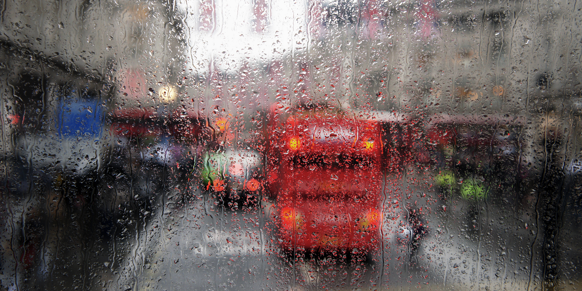
Met Office daily weather: A changeable start to the week continues
The weather across the UK remains changeable, with a mix of sunshine, showers, and some longer spells of rain
Tuesday will bring variable cloud and sunny intervals for many areas. Showers are expected from the start in the west, gradually developing further east into the afternoon. Some of these showers could turn heavy at times, so it’s wise to keep an umbrella handy if you’re heading out. In northern Scotland, there is a risk of longer spells of rain, with showers potentially heavier at times.
☔ Rainiest day?
— Met Office (@metoffice) October 20, 2025
❄️ Coldest night?
Find out what the UK's weather records are for October 👇
As we move into Tuesday night, rain in the far north and northwest will become more showery, while elsewhere there will be clear spells with occasional showers, particularly in the west. It will be windy in the north, with coastal gales possible in the far northwest. Temperatures will be near average for the time of year, a little below in the far northwest and a degree or so above average in the far southeast.
Outlook for Wednesday
Wednesday begins with variable cloud and sunny spells for many, especially in the east where some mist or fog patches may linger early on. Most areas will be dry to start, but there could be some rain or showers in the north, and spells of light rain may affect the south at times.
As the day progresses, cloud will thicken and outbreaks of rain, heavy at times, will spread in from the southwest. There is a chance of embedded thunderstorms within the frontal bands. Winds will be light to moderate to begin with, perhaps strong in the far north, but are expected to increase later in the south as the rain arrives, bringing a risk of coastal gales. Temperatures will be near normal after a mild start, but a general decline in temperatures is expected as the week continues.
Met Office presenter and meteorologist, Alex Burkill, said: “Tuesday could be quite grey, quite murky for some of us through the morning, albeit also some brighter spells. A slice of brighter, clearer weather will be pushing its way eastwards through the morning. And then otherwise, it's a bit of a messy day. There will be some showers around. Again, they don't look like they'll be quite as heavy or as frequent or as intense or as thundery as the ones that parts of England and Wales will have seen through Monday, but nonetheless, a few showers dotting their way through.
“Also, some showery rain pushing its way across parts of Scotland. A bit more cloud here than we'll have seen through Monday with a bit of a duller, greyer picture as well. Elsewhere though, bit more sunshine on offer compared to Monday. And so, whilst temperatures look similar, maybe a degree or so higher, it will probably feel a little bit warmer across parts of England and Wales and maybe Northern Ireland as well.
“But across parts of Scotland feeling a couple of degrees fresher. Especially because of the fact that there's the cloud and that rain, and still a bit of a breeze around. Still some strong winds here and there. As we go later on this week, well, there is more unsettled weather to come. At the moment, Wednesday actually looks largely dry, at least to start, but then some rain is going to push its way in, particularly across southern parts later on.”


