Met Office daily weather: Cloudy skies with rain and drizzle
Thursday will be dominated by cloudy skies and further outbreaks of rain and drizzle
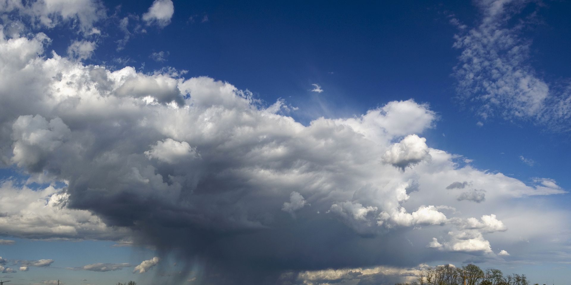
Thursday will be dominated by cloudy skies and further outbreaks of rain and drizzle, with the heaviest rain expected over western hills. Eastern areas will see lighter, patchier rain, often more drizzly in nature. As the day progresses, Scotland and Northern Ireland will experience a transition, with sunny spells and showers developing, some of these showers could be locally heavy, particularly in the northwest, where cumulonimbus clouds and isolated thunderstorms are possible.
Winds will be moderate to fresh for most, but locally strong along exposed coasts. Later in the day, northwestern areas can expect gales, making for challenging conditions. Temperatures will be mild or very mild, with maximum values widely reaching 12–14°C and locally up to 15°C in sheltered spots. Even after the rain clears in the northwest, temperatures will remain at 9-12°C.
A rather unsettled rest of the week, with showers and longer spells of rain at times 🌧️
— Met Office (@metoffice) November 26, 2025
Quite windy too, especially in the north 🍃 pic.twitter.com/qHTiRjdBXy
Cloud and rain will clear southeast England soon after midnight, leaving many places dry and breezy with clear spells. However, northern and northwestern areas will continue to see heavy showers, accompanied by gales or even severe gales in the far north and northwest. Overnight temperatures will remain mild, though western areas will be less mild than the previous night, with minima ranging from low single figures in the northwest to higher single figures in the southeast.
Outlook for Friday
Friday brings a mix of sunshine and frequent blustery showers, with some showers merging to produce more persistent rain, especially in northwestern regions. A more pronounced band of showers is expected to run east across England and Wales during the day. Winds will remain strong nationwide, with gales and severe gales over northern Scotland gradually easing. Temperatures will be near normal for late November, but the brisk winds will make it feel colder than the thermometer suggests.
Met Office presenter and meteorologist, Annie Shuttleworth, said: “A significantly milder start to the day on Thursday. We will be frost-free, but it's going to be a cloudy, breezy, and for some of us a damp day. It's particularly across the West where we're going to see the rain. Wales, Devon, Cornwall, particularly the high ground across Northern England and parts of Scotland.
READ MORE: “Seven inches of snow”? “Freakish warmth?”: Met Office weather headline review
“Now, this band will clear by the afternoon. So, it will turn brighter across Northern Ireland and Western Scotland by the end of the day, but we could see some quite heavy, possibly thundery showers across the Southeast though. It should remain largely dry and it will be a much milder day here tomorrow.
Temperatures could reach 14°C. We're a good 10°C warmer for some areas compared to Wednesday in the Southeast. But as you can notice, these wind areas really starting to pick up across the north and west through this evening. That's all to do with this area of low-pressure that's moved in from the Atlantic that will bring some very strong winds particularly to northwestern areas.
“So, we do have a wind warning in force for northwestern parts of Scotland, the highlands and the westerns. We could see gusts in excess of 75 miles per hour. You can find out more information on that weather warning on our app and website.”
Keep up to date with weather warnings, and you can find the latest forecast on our website, on YouTube, by following us on X and Facebook, as well as on our mobile app which is available for iPhone from the App store and for Android from the Google Play store.