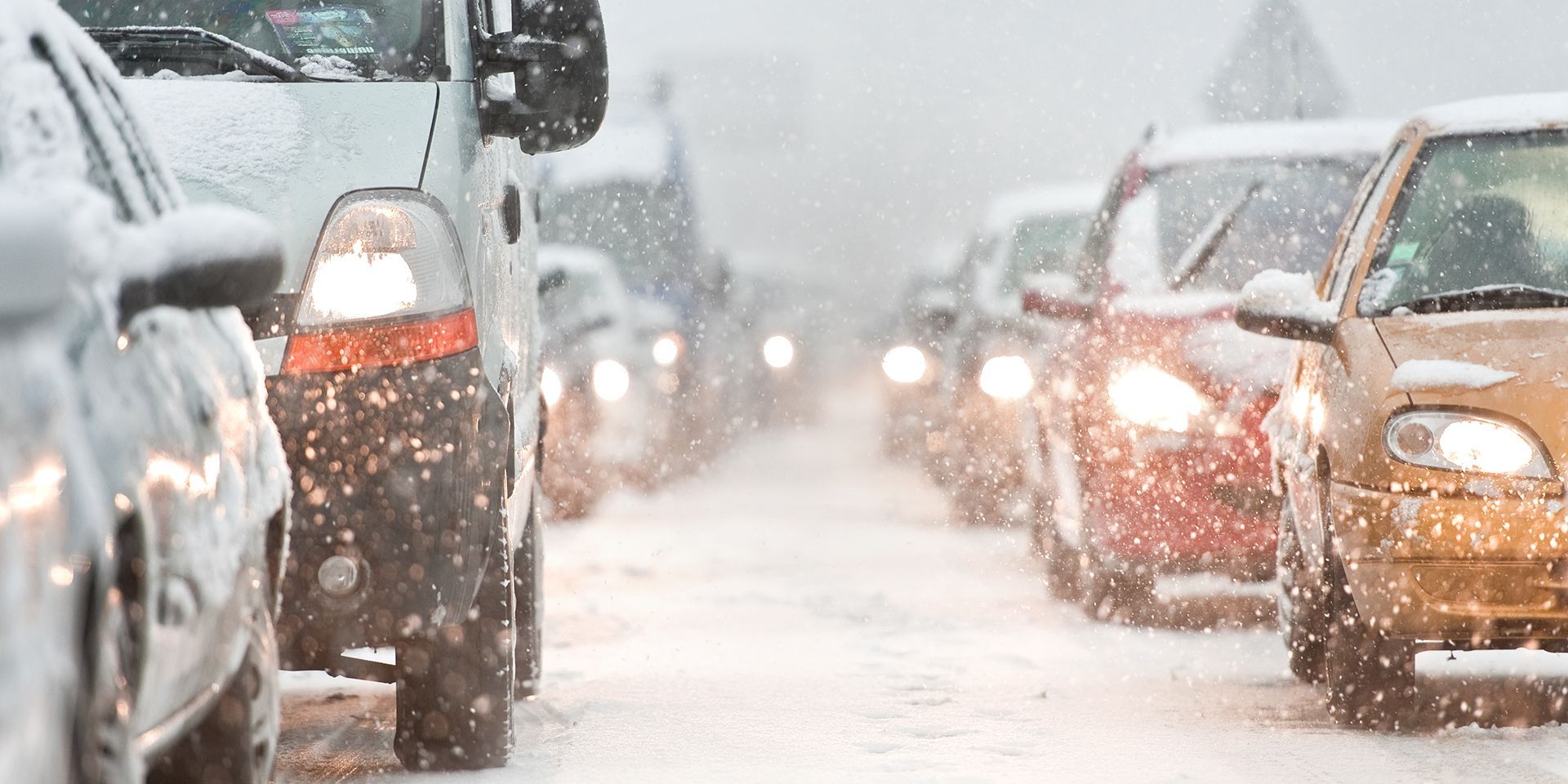
As winter approaches, the UK’s weather headlines have once again captured public attention with dramatic claims of snow, freezing temperatures, and “Arctic attacks”.
But how do these headlines compare with the current Met Office forecast? In this review, we break down the most prominent stories, examine the forecast in detail, and offer clarity on what’s on the way.
Are Brits facing ‘seven inches of snow’ and an Arctic attack?
“UK weather chaos as ‘seven inches of snow’ to bury Brits as new Arctic attack incoming,” declares one headline, painting a picture of imminent and severe winter disruption.
The Met Office forecast, however, offers a more measured outlook. South to south-westerly regimes are most probable in early December, with lower pressure to the west and northwest and higher pressure to the southeast. This means showers or longer spells of rain are likely, especially in the northwest, while the southeast may see drier conditions.
There is a risk of strong winds, particularly along coasts, and temperatures are likely normal or slightly above normal. Confidence in the details through mid-December remains low, with unsettled conditions likely to persist. The wettest and windiest weather may shift further south as the period progresses.
READ MORE: ‘Exact date’ weather forecast headlines and where they come from
There’s a chance of some snow over the highest ground in Scotland at times, but this is quite common at this time of year.
Scotland snow maps ‘turn purple’ as Arctic blast sweeps UK
Another headline warns of “Six inches falling as Arctic blast sweeps UK”, focusing on Scotland.
Once again, the Met Office forecast points to a similar pattern: south to south-westerly regimes, unsettled weather, and a mix of rain and showers, especially in the northwest. While snow is possible on Scottish mountains, widespread heavy snowfall is not the dominant scenario.
Strong winds and normal or slightly above normal temperatures are expected, with the southeast remaining drier overall. The forecast’s low confidence in specifics means that while wintry conditions are possible, the dramatic imagery of “purple snow maps” should be taken with caution.
Freakish warmth and the White Christmas debate
“UK weather: Freakish warmth set to sweep Britain in major blow to White Christmas hopes,” claims another headline, shifting the narrative from snow to unseasonable warmth.
The Met Office forecast supports the possibility of above-normal temperatures in the coming days, especially in the southeast, but also notes the unsettled nature of the period. Showers and rain are likely, with strong winds at times.
The interplay between milder and colder spells is typical for early winter, and while a “freakish” warm spell could occur, it’s not guaranteed or widespread. The hope for a White Christmas remains uncertain, as is often the case at this time of year.
READ MORE: How far ahead can snow be forecast in the UK?
Temperatures to plummet to -4°C and snow arriving in days?
Headlines warning of “UK snow arriving in days with temperatures plummeting to -4°C” are common in late November.
Tonight (Tuesday night) will be a cold night across much of the UK, with temperatures falling below zero in many areas, with temperatures of -4°C a possibility for some of the colder spots. Thereafter, the forecast again points to unsettled conditions, with south to south-westerly regimes dominating. While colder spells are possible, especially overnight and in northern areas, temperatures are generally expected to be normal or above normal for the time of year. Snow is most likely on higher ground in Scotland, rather than widespread across the UK. The risk of strong winds and rain remains, with the southeast favoured for drier weather.
Freezing rain and ‘rare’ phenomena
“Freezing rain forecast across UK as temperatures to plunge to -6°C in ‘rare’ phenomenon,” reads another headline.
The forecast acknowledges the potential for unsettled weather, with showers, rain, and strong winds, but does not currently highlight a risk of freezing rain. Freezing rain requires a significant depth of cold air extending upwards from the surface, with milder cloud and rain above it. As the forecast is broadly forecasting normal or above-normal temperatures, freezing rain is currently not forecast.
The Met Office’s outlook remains nuanced, highlighting the likelihood of unsettled weather, regional variation, and the inherent uncertainty of long-range predictions, so it’s important to check reputable sources beyond the headline to get the best idea of the forecast.
Keep up to date with weather warnings, and you can find the latest forecast on our website, on YouTube, by following us on X and Facebook, as well as on our mobile app which is available for iPhone from the App store and for Android from the Google Play store.