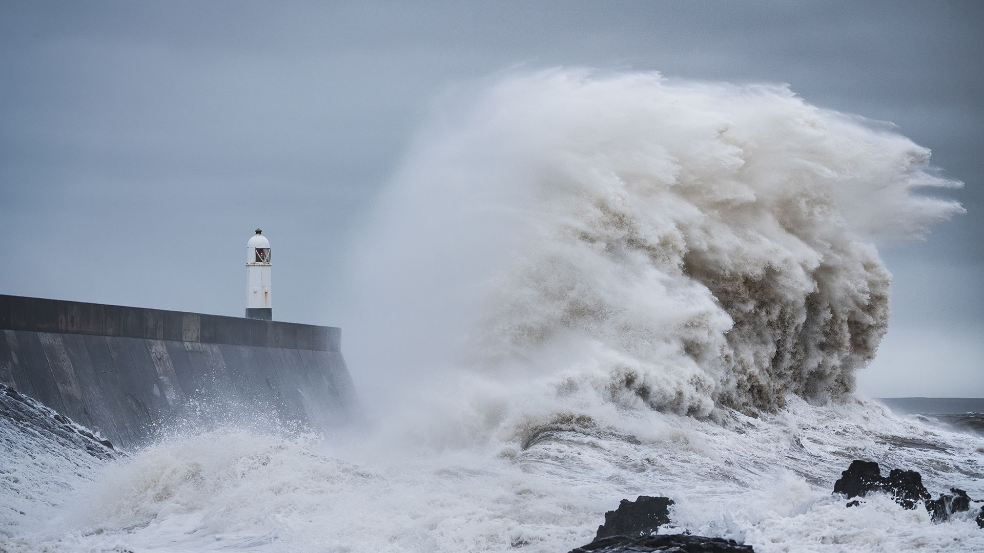
An unsettled week ahead, with more weather warnings likely
Warnings for wind and rain are currently in place, with more likely as the week progresses.
The UK will remain unsettled this week, with spells of heavy and persistent rain, as well as strong winds. Temperatures will turn cooler in the north, but remain mild in the south until the weekend, when cooler air will start moving into southern areas too.
Yellow warnings for rain have been issued for southwest Scotland, southern Wales and Northern Ireland for today (Tuesday) as bands of rain move across the country from the southwest.
An updated Yellow warning for rain and wind has been issued for southwest England from Tuesday until 18:00 on Wednesday, where heavy rain will be accompanied by strong southerly winds, making driving conditions difficult and flooding possible.
⚠️ Yellow weather warning updated ⚠️
— Met Office (@metoffice) November 11, 2025
Rain & Wind across southwest England
Tuesday 1200 – Wednesday 1800
Latest info 👉 https://t.co/QwDLMfS950
Stay #WeatherAware⚠️ pic.twitter.com/D8ScTXD0da
A further Yellow warning for rain has been issued across southern Wales for Wednesday, as another spell of persistent and sometimes heavy rain is expected to move in from the south during the morning.
⚠️ Yellow weather warning issued ⚠️
— Met Office (@metoffice) November 11, 2025
Rain across southern Wales
Wednesday 0600 – 2359
Latest info 👉 https://t.co/QwDLMfS950
Stay #WeatherAware⚠️ pic.twitter.com/3lsqeYfmHS
Met Office Chief Forecaster, Neil Armstrong, said: “Low pressure is dominating our weather this week, with multiple warnings in force and more unsettled weather to come.
“We have recently updated the yellow warnings for southwest England and southern Wales to cater for the rain and wind that continues into Wednesday.
“There are increased sensitivities now compared to earlier in the autumn due to recent heavy rainfall events, so we are keeping a close eye on already saturated ground as this could lead to some flooding. Difficult travelling conditions are also expected, with delays and the increased possibility of accidents.”
Risk of flooding possible
Given the recent unsettled weather, the combination of saturated ground and further heavy rain means that flooding is probable in some areas.
Stefan Laeger, Flood Manager, Environment Agency said: "Minor surface water flooding is probable in parts of southwest England today and into Wednesday, while minor river flooding impacts are also possible in the same region today and tomorrow."
“Environment Agency teams are out on the ground and will support local authorities in responding to surface water flooding. We urge people not to drive though flood water – it is often deeper than it looks and just 30cm of flowing water is enough to float your car.
“People should search ‘check my flood risk’, get free flood warnings, and keep up to date with the latest situation at @EnvAgency on X.”
With rain in the forecast, take care as heavy rain, spray and flooding will cause some difficult driving conditionshttps://t.co/FIGchvYB90 pic.twitter.com/KdIzRxHIM1
— Met Office (@metoffice) November 11, 2025
More rain, wind and warnings likely for Friday into the weekend
Thursday looks to be a quieter day, but then we turn our attention to Friday and into the weekend, where we could see some more impactful weather.
During this period, there’s a clear north/south split, with things turning colder in the north, bringing below-freezing overnight temperatures to Scotland as well as the risk of some snow over higher ground.
But in the south, things remain milder, but also much more unsettled, as Met Office Deputy Chief Forecaster Mike Silverstone explains:
“On Thursday night and into Friday, we start to see the development of the next system pushing up from the south. It will bring some very heavy rain, plus strong easterly winds to some central and southern areas of the UK.
“These bands of rain are likely to be slow moving and bring the potential for large rainfall totals to build up across a central swathe of the UK. Strong easterly winds are also likely to bring some very gusty conditions to the west of high ground.
“There is currently some uncertainty in the positioning and timing of this system, but more wind and rain warnings are likely to be issued in the coming days.
“This disruptive period is expected to last from Thursday evening into Saturday for some, so it’s important people keep up-to-date with the forecast.”
Cooler conditions too
By the weekend, the north of the UK will be firmly under the cooler airmass, with overnight frosts in places, and while there will still be some showers around, it’ll generally be a much drier and brighter spell of weather here. Further south, the weekend will start off largely cloudy and wet, and still mild in the far south, but gradually the rain will ease and eventually clear to the south, with the drier, colder conditions further north likely affecting all parts by the end of the weekend.
Keep up to date with the latest forecast for your area using our forecast pages. You can also follow us on Twitter and Facebook. Use our mobile app which is available for iPhone from the App store and for Android from the Google Play store.

