Halloween forecast plus, will hurricane Melissa affect our weather?
The UK is set for a spell of unsettled weather as we approach Halloween and the weekend.
The UK is set for a spell of unsettled weather as we approach Halloween and the weekend. While much attention has been focused on Hurricane Melissa in the Atlantic, forecasters are also monitoring the potential development of another area of low pressure that could influence the UK’s weather later in the week.
This system, which is separate from Hurricane Melissa, may bring strong winds and outbreaks of rain, particularly to western parts of the country.
The Met Office, working in partnership with Met Éireann and KNMI in the Netherlands, is closely tracking this developing system. At present, it does not appear likely to meet the criteria for a named storm, but the situation remains under review as new forecast model data becomes available. The public is advised to stay up to date with the latest forecasts, as the situation could change at short notice.
A bright and chilly start is expected on Thursday, before cloud and strengthening winds spread in from the west. Rain will develop across northern, western and central areas, becoming most persistent and occasionally heavy over parts of Northern Ireland and Scotland. Winds will increase, with coastal gales likely in western regions. Temperatures will be a little milder than on Wednesday.
Trick or treating forecast
With Halloween falling on a Friday this year and many families enjoying half-term, the weather is expected to be unsettled across much of the UK, with heavy blustery showers likely for many parts. Thursday and Friday are likely to bring periods of wet and windy weather, especially in southern and western regions. The strongest winds are forecast to affect Ireland and Northern Ireland, but the UK will not be immune to breezy conditions and showers.
It's set to turn more unsettled for the end of the week
— Met Office (@metoffice) October 28, 2025
The jet stream will pick up an area of low pressure and steer it towards the UK
Heavy rain and strong winds are likely for some, so keep up to date with the forecast 🌧️🌬️ pic.twitter.com/Fs8l6YcUgo
Those planning to go trick-or-treating on Friday evening should be prepared for changeable weather. There is a possibility of rain and gusty winds in some areas, so waterproofs and sturdy footwear are recommended. While some locations may experience drier interludes, the overall theme is one of unsettled conditions, with the potential for showers and brisk winds at times.
Into the weekend
Looking further ahead into the weekend and beyond, the weather pattern remains highly changeable. The Jetstream is currently very amplified and wavy, which means that low pressure will dominate steering bands of showers across the UK. Whilst some areas may see some brighter drier periods many will see further heavy blustery showers.
Further areas or bands of rain or showers, some heavy, are likely to run east or northeast across many areas through Saturday, though confidence in the details remains relatively low. There will be some sunny or clear spells in between the showers. Another windy day is expected for many, again with the chance of coastal gales developing, at least for a time. It will be mild by night, but daytime temperatures are generally expected to be around normal.
Sunday will bring another day of sunshine and showers, with the showers perhaps more prevalent through the first part of the day. Skies are expected to cloud over in the west during the afternoon, with some rain moving in from the Atlantic by the evening. It will remain windy, with the potential for coastal gales to develop in the west later in the day. Temperatures are forecast to be near average for the time of year.
Given the unsettled outlook, the Met Office advises the public to keep up to date with the latest forecasts and any weather warnings that may be issued. Those planning outdoor activities for Halloween or the weekend should be prepared for wet and windy conditions, and take appropriate precautions, particularly in exposed or coastal areas.
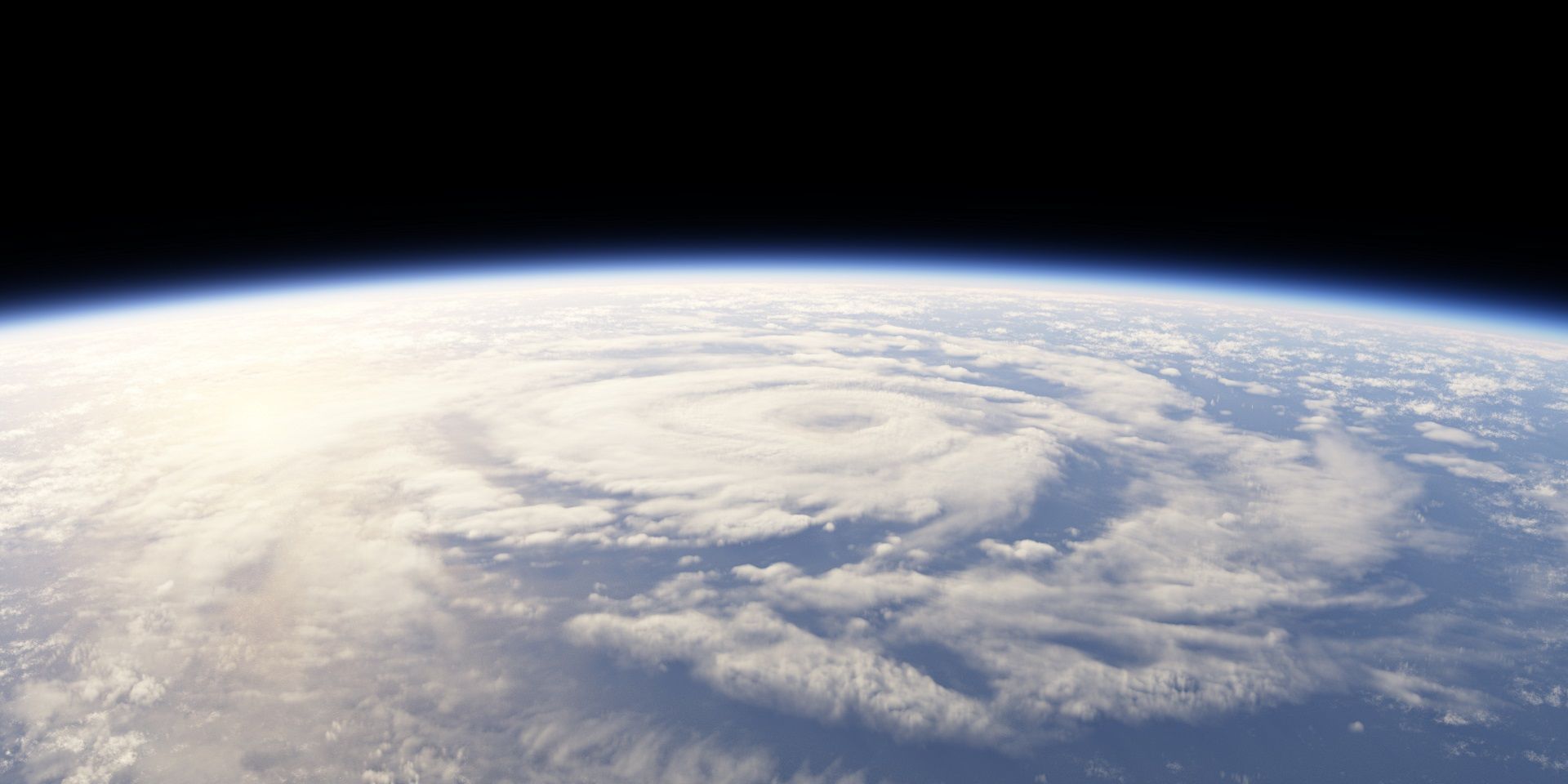
Will Hurricane Melissa affect our weather?
Into next week, it’s likely that the remnants of what will then be ex-Hurricane Melissa will influence the UK’s weather, though likely as a largely ‘business as usual’ system, as Met Office Deputy Chief Meteorologist Tom Crabtree explains:
“It looks like late on Sunday and into early Monday, a low-pressure system containing the remnants of what will then be ex-Hurricane Melissa will move across the far northwest of the UK.
“This appears to be a fairly typical autumn low-pressure system for the UK, introducing some milder air and bringing further spells of rain, which will be heaviest over western hills. There remains some uncertainty in the exact track of this low at this range, however it looks set to usher in further unsettled weather next week.”
Keep up to date with weather warnings, and you can find the latest forecast on our website, on YouTube, by following us on X and Facebook, as well as on our mobile app which is available for iPhone from the App store and for Android from the Google Play store.