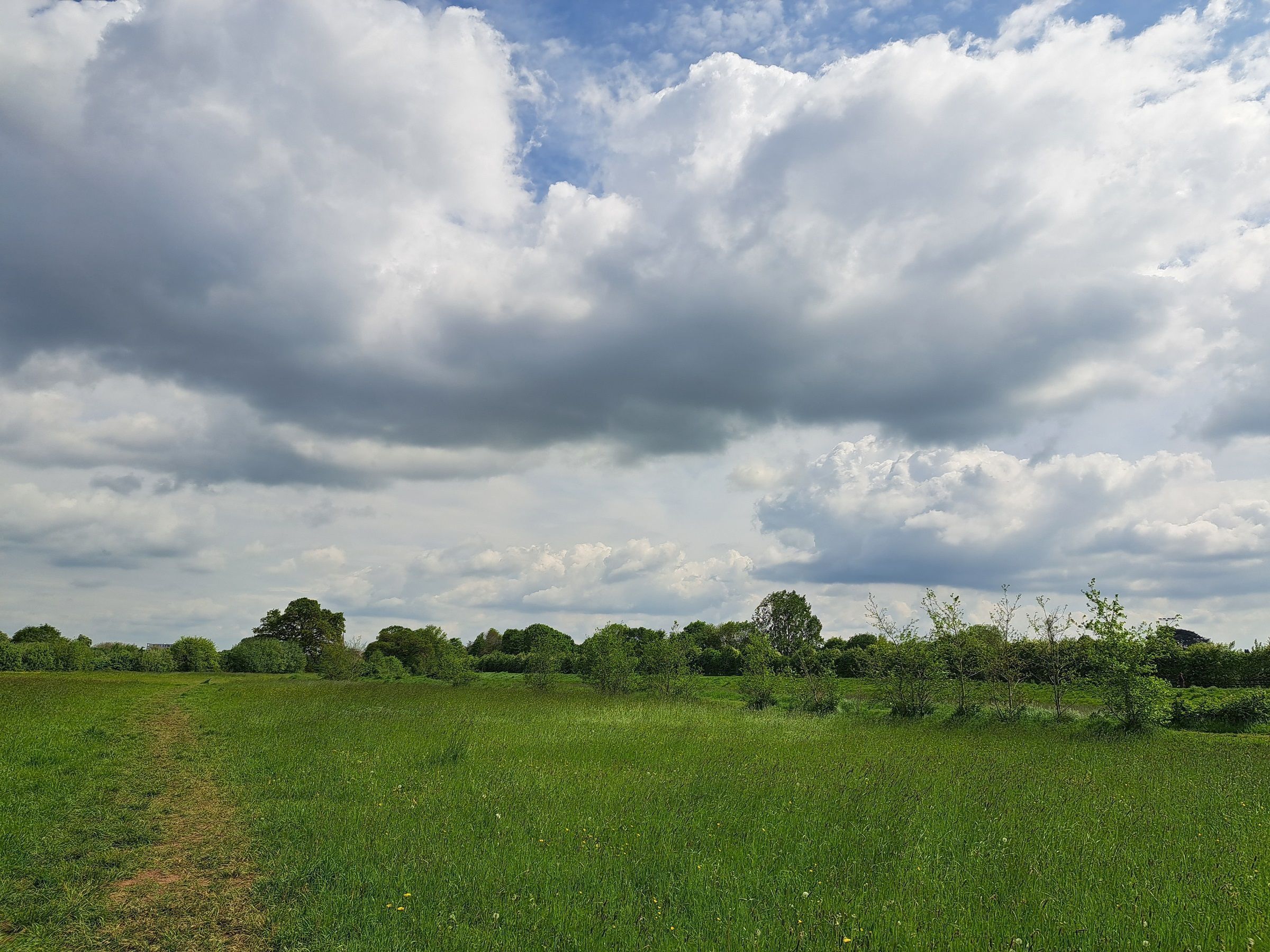
A mixed week ahead with rain for some, a potential heatwave, and average temperatures towards the weekend
High pressure will bring dry, fine and increasingly warm weather for many this week.
Parts of the southeast will see the highest temperatures, with the potential for heatwave conditions to be met in some places by Thursday, though those further northwest will see more unsettled weather.
From Tuesday, temperatures are expected to rise, and much of England, Wales and eastern Scotland will enjoy a dry day with sunny conditions. This marks the start of an increasingly warm, but relatively short, spell of hot weather. The UK Health Security Agency (UKHSA) has issued Heat Health Alerts for parts of England from Tuesday to Thursday this week.
Meanwhile, western Scotland and northwest England will remain cloudier on Tuesday, with periods of rain or drizzle and a small chance of heavy showers and isolated thunderstorms across Northern Ireland and southern Scotland later in the day.
While Tuesday is expected to be hot in the southeast, widely reaching 29-30°C, Wednesday is expected to see the peak of the heat, with maximum temperatures of 35°C possible across southeastern England.
Thursday sees the start of a gradual transition to cooler conditions for much of the UK. The southeast will hold onto the heat for a little longer, where another hot day with temperatures widely around 29°C, could bring parts of the region into official heatwave conditions.
Met Office Deputy Chief Forecaster Gregory Wolverson said: “This is a short-lived spell of heat, but temperatures will climb quickly through the first half of the week, particularly in the southeast.
“By Wednesday, some areas could see temperatures in the mid-30°Cs, and while the heat will not be widespread across the whole of the UK, it will be enough for parts of the southeast to likely meet official heatwave criteria by Thursday.
"Elsewhere, the weather will be more changeable, and the change to cooler, more unsettled conditions will arrive sooner from the north and west, with a mix of sunshine and showers. Across northern areas, it is possible there will be heavier showers with a small risk of isolated thunderstorms through the week.”
Summer heat is set to return this week🌡️
— Met Office (@metoffice) July 26, 2026
Temperatures will climb across many areas before easing again towards the end of the week
Take a look here for more details 👇 pic.twitter.com/rm4eEQG64l
Temperatures to ease into the weekend
By Friday, temperatures are expected to be much closer to average for most of the UK, and slightly below average in the far north. The far south is likely to stay a little warmer as high pressure continues to influence conditions, although it will feel markedly different from the midweek highs.
The conditions over the weekend and into next week are more uncertain; it’s likely to remain relatively dry and settled on Saturday, however this may give way to more unsettled conditions from Sunday onwards with some spells of rain and strong winds, however the forecast confidence is low at this stage so please keep in touch with updates through the week. .
Wildfire conditions
Despite some rainfall over the weekend and through the coming week, particularly over Scotland and Northern Ireland, wildfire conditions are forecast to remain elevated over much of England and Wales this week.
A National Fire Chiefs Council (NFCC) spokesperson said: "Fire and rescue services have already faced significant pressure this summer, responding to wildfire incidents during prolonged spells of warm and dry conditions. With the potential for further hot weather ahead, services remain prepared and ready to respond.
“While firefighters will always be there when they are needed, the vast majority of wildfires are preventable. That's why we're asking everyone to do their bit, take extra care and be aware of the increased risk.
“It only takes one spark to start a wildfire, and what may appear to be a small fire can quickly escalate, threatening communities, wildlife, natural habitats and the firefighters tackling the incident.
“Simple actions can make a real difference. Avoid using disposable barbecues in parks, the countryside and other open spaces, never discard cigarettes on the ground, and always take litter home. By taking these simple precautions, everyone can play a part in preventing wildfires and protecting our communities and environment."
You can find the latest forecast on our website, on YouTube, by following us on X and Facebook, as well as on our mobile app which is available for iPhone from the App store and for Android from the Google Play store.