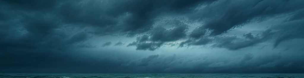
Storm Austen named
Storm Austen has been named by the Met Office with disruptive wind and rain for some from late Thursday and into Friday.
While Tuesday and Wednesday will see spells of rain and showers for many, focus shifts to the southwest of the UK late Thursday as Storm Austen begins its approach. An area of low pressure forming in the Atlantic will rapidly deepen as it is invigorated by the jet stream.
A Yellow Warning for wind has been issued for southern parts of England as well as south Wales, with the warning highlighting the chance travel disruption, power cuts and a chance of injuries from debris in places.
Met Office Deputy Chief Forecaster Tom Crabtree said: “While the exact track and position of Storm Austen is still being determined, what’s clear is that we have an impactful period of weather on the way and the potential for disruption in places, which has resulted in the system being named.
“Peak gusts in excess of 70mph are possible on the most exposed coastal areas, while 50-60mph are likely more widely within the warning area. Weather warnings are under constant review and could be updated as confidence increases, so it’s important to stay up-to-date with the forecast in the coming days.”
Storm Austen will move from west to east through Friday, with winds generally diminishing later in the day. Rain is an additional hazard, with 20-30mm in many places and higher totals possible over higher ground in the west and further north on Friday.

Influence of low pressure to continue
While Storm Austen’s influence will wane late on Friday as it moves into the North Sea, further periods of wind and rain are likely through the weekend and into the start of next week, with the heaviest rain more likely in western areas.
You can find the latest forecast on our website, on YouTube, by following us on X and Facebook, as well as on our mobile app which is available for iPhone from the App store and for Android from the Google Play store.