Wet and windy weather continues
Author: Press Office
11:54 (UTC) on Sun 10 Mar 2019
National Severe Weather Warnings have been issued.
A powerful jet stream is bringing areas of low pressure across the Atlantic Ocean resulting in an unsettled and windy period with rain for many regions and occasional snow for some.
After a blustery day with wintry showers for many today (Sunday) it will be a cold night with widespread frost and icy patches. A yellow Severe Weather Warning for snow is in place for northern Scotland today and a snow and ice warning comes into place for much of the country, from 9pm this evening through to 10am Monday
Met Office Chief Meteorologist Dan Suri said, “Wintry showers will also continue for many tonight and the hills and mountains of Scotland and Northern Ireland could see a few cms of lying snow above 200-300 metres. Widespread icy patches will develop on untreated surfaces first thing Monday morning and could cause a few travel problems.”
Whilst the blustery, cold conditions are a contrast to the type of weather we saw at the end of February this is fairly typical for early March in the UK.”
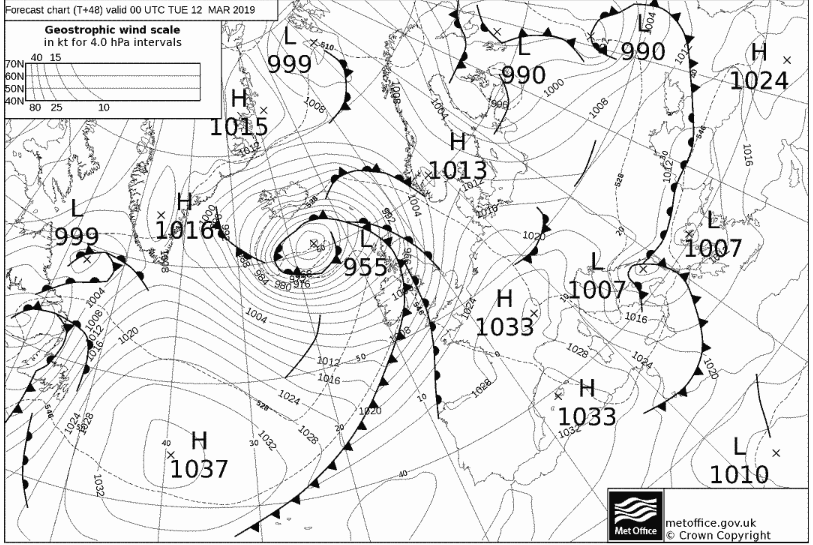
Monday will be largely dry and bright before it becomes very unsettled again on Tuesday and Wednesday, with further outbreaks of rain or showers and hill snow. Through Tuesday afternoon winds will strengthen across Northern Ireland where a yellow weather warning for wind has been issued. The strong west to northwesterly winds will extend to Wales and much of England on Wednesday where a yellow warning for wind is also in place. It will feel cold at times, especially in the wind. After another brief respite later Wednesday, further wet and windy weather is expected for Thursday and Friday.
You can get the most accurate and up to date forecast for your area using our forecast pages and by following us on Twitter and Facebook, as well as using our mobile app which is available for iPhone from the App store and for Android from the Google Play store.
Updated at 11:54 (UTC) on Sun 10 Mar 2019