Colder weather on the way
Author: Press Office
10:55 (UTC) on Fri 27 Mar 2020
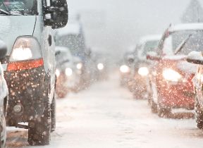
After a period of warm, sunny weather, it is going to feel much colder this weekend, especially on Sunday as northeasterly winds become established across the UK
During Saturday night, temperatures will fall widely close to freezing, with -4 Celsius possible in sheltered rural spots.
Temperatures by day on Sunday will struggle to reach double digits, the keen northeasterly wind making it feel colder. There’ll be a risk of hail and snow along eastern coasts and inland, although these will become more confined to high ground in the north later in the day.
Met Office Chief Meteorologist Dan Suri says; “It will stay drier and brighter elsewhere, even so, it will be a marked change from the 18 or 19 Celsius we have been seeing in a few spots this week”.
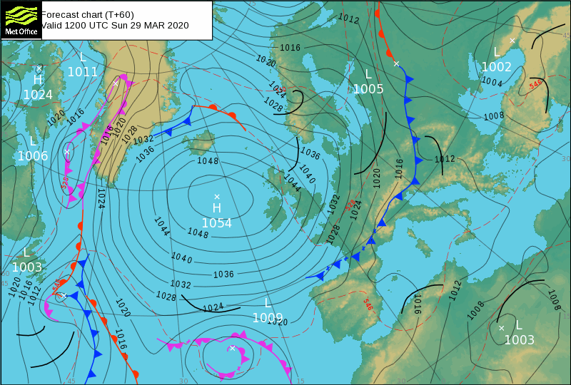
This cold, bright weather is due mainly to a high-pressure system that is developing to the west of the UK, which will bring cold air down from the north”.
As we head into the start of next week the weather will continue to stay dry and settled with variable amounts of cloud and sunshine, but temperatures will stay cold for the time of year.
Please remember, despite the sunny weather, during this Coronavirus crisis the Government advice is to only go outside for food, health reasons or work, to stay 2 metres (6ft) away from other people and to wash your hands regularly.
You can get the most accurate and up to date forecast for your area using our forecast pages and by following us on Twitter and Facebook, as well as using our mobile app which is available for iPhone from the App store and for Android from the Google Play store. You can check the latest weather warnings on our severe weather warnings pages.