Cold weather continues – January 2021
Author: Press Office
13:33 (UTC) on Sat 30 Jan 2021
A battle for supremacy continues over the UK, with cold air to the north and east and milder, wet conditions to the south and west
Cold air from Scandinavia
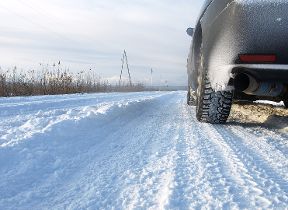
A dense pool of cold air over Scandinavia continues to exert a strong influence on the UK weather as weather systems from the Atlantic try to extend their influence. In this set up over the areas of rain will moving in from the South West of the UK and snow is likely to remain a hazard along the leading edge as it ‘bumps’ into colder air further north and east.
National Severe Weather Warning
Several National Severe Weather warnings have been issued.
Upcoming forecast
Met Office Chief Meteorologist, Steven Ramsdale said: “Over the next few days we continue to see a division between milder conditions in the South West with much colder air to the north and east. The boundary between the two air masses will flex north and south bringing the potential for snow along the boundary between the two and ice overnight.
Week ahead
On the forecast into next week, he said: “We see further weather fronts bringing rain and snow east and north across the UK, but the most significant event in the forecast is a feature from late Monday evening, which threatens to bring rain and some snow across large parts of the UK.
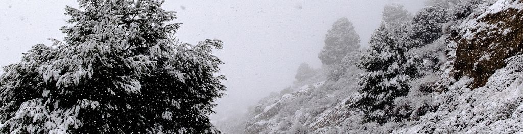
"As it moves further north and meets the colder air, the rainfall will readily turn to snow or even freezing rain, affecting a large part of England and Wales north of the M4 corridor. Yellow weather warnings have been issued for Tuesday and Wednesday highlighting the risk of disruptive snowfall with the high ground of northern England and Scotland most likely to see the largest snow accumulations.
Risk of freezing rain
"The risk of freezing rain will be an additional threat across parts of eastern Wales and parts of the Midlands.”
Will the cold air return?
Later in the week colder air is likely to spread back south and westwards across the UK though this does look to bring drier conditions for many.