Unsettled Christmas?
Author: Press Office
14:46 (UTC) on Fri 17 Dec 2021
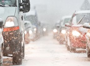
High pressure continues to dominate the UK weather over the next few days.
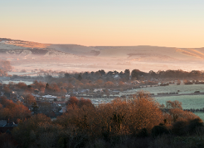
As is often the case with high pressure at this time of year, the weather is likely to stay overcast but dry for many and there will be some dense fog patches at times that will be hard to clear. Although, it will become brighter after the weekend.
However, as we head towards the end of the next week and Christmas there is an increasing chance the high pressure will move allowing for more unsettled and windier weather to affect the UK with rain, and perhaps snow, possible for some places.
Met Office Expert Meteorologist, Dan Rudman, said: “There is still a lot of uncertainty in the forecast for the Christmas period. Whilst there is certainly a risk of wintry conditions for many places, other outcomes are still possible such as warmer air to move across the UK bringing rain widely with any potential snow being restricted to higher ground and the far north.
“We will continue to keep an eye on developments over the coming days and update as the level of certainty increases.”
Check the latest forecast for your area on our website, by following us on Twitter and Facebook, as well as on our mobile app which is available for iPhone from the App store and for Android from the Google Play store. Keep track of current weather warnings on the weather warning page.