A change is on the way
Author: Press Office
11:57 (UTC+1) on Thu 22 Jun 2023
A northwest/southeast split will develop in the UK weather in the coming days, with the possibility of heatwave criteria being met in the south and east, but with some heavy rain further north and west.
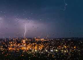
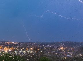
Before then, Thursday will see a continuation of the largely dry and settled conditions for many. However, parts of central and eastern England could see some thunderstorms this afternoon, which has resulted in a Yellow Warning for thunderstorms.
⚠️ Yellow weather warning issued ⚠️
— Met Office (@metoffice) June 22, 2023
Thunderstorms across parts of Central, Southern and Eastern England
Valid 13:00 to 20:00 today
Latest info 👉 https://t.co/QwDLMfRBfs
Stay #WeatherAware ⚠️ pic.twitter.com/aKEd20McNg
Within the warning area, some places could see around 20mm of rain in less than an hour, though not everywhere will see the heaviest showers. These thundery showers will gradually ease later into Thursday evening.
A split in the weekend weather
There are marked differences in the weekend forecast for those in the northwest compared to those in the southeast.
On Friday, those in Scotland, Northern Ireland, northwest England and parts of northern Wales will see some frontal rain move in from the west through the day, with the highest rainfall totals expected in western areas of Scotland and Northern Ireland. That theme continues through the weekend, with further bands of rain pushing into the northwest.
Meanwhile, much of southern, central and eastern England, will see a gradual build in temperatures through the weekend. Temperatures will exceed 30C in places and could even reach 32 or perhaps 33C somewhere in the southeast, with Sunday the likely peak of the heat.
Met Office Deputy Chief Meteorologist Chris Almond said: “After some thundery showers in central and eastern England on Thursday, the UK is transitioning to a more typical weather pattern through the weekend, with high pressure to the south and the influence of low pressure further north and west, albeit with some very warm or hot air in the south and east at first.
“Official heatwave criteria could be met for parts of southern and eastern England, with temperatures most likely to peak in the low 30s on Sunday in the southeast, but even elsewhere temperature could still reach the high 20s. Temperatures will likely remain quite high overnight, so it’s important to look out for those who may be more vulnerable to heat.”
“It’s a marked contrast to those further northwest, who will see periods of rain move in from the west through the weekend. Western Scotland and Northern Ireland are likely to accumulate the highest totals, with possibly more than 40mm falling in some spots overnight on Saturday and into Sunday with some thunderstorms thrown into the mix, in what will be a largely unsettled weekend in the area.”
“Temperatures look set to fall early next week, with many areas feeling a bit fresher, although temperatures will still be above the long-term average.”
Heat Health Alert
The UK Health Security Agency, which covers the healthcare sector in England, has issued a Heat Health Alert.
Dr Agostinho Sousa, Head of Extreme Events and Health Protection at UKHSA, said: “This heat health alert means that in the coming days we are likely to experience another period of hot weather, so it’s important that everyone takes sensible precautions while enjoying the sun.
“Forecast temperatures this week could primarily impact those over the age of 65 or those with pre-existing health conditions. If you have friends, family or neighbours who are more vulnerable, it is important to check in on them and ensure they are aware of the forecasts and are following the necessary advice.”
Glastonbury weather forecast
The weather is set fair for much of the weekend at Glastonbury Festival with only a small chance of a shower. Friday and Saturday should see a good deal of dry, bright weather with some sunny spells, albeit hazy at times, with highs in the mid-20s, with some warm nights to follow once the sun goes down.
Sunday will see some warm sunshine at first, though a few showers are possible through the afternoon, though these will be hit and miss in nature.
Conditions look set to freshen up from Monday as temperatures fall closer to average.
Further ahead
Sunday will be the peak of the temperatures in the south and east, with temperatures returning closer to average next week with the risk of further spells of rain at times, mainly in the north and west.


