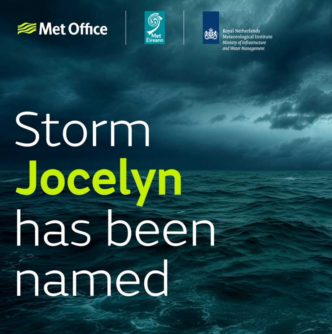
Storm Jocelyn named
Author: Press Office
12:21 (UTC) on Mon 22 Jan 2024
Storm Jocelyn will bring strong winds and rain to Northern Ireland and much of Britain.
#StormJocelyn has been named by @MetEireann and is forecast to bring strong winds and heavy rain to the UK on Tuesday and into Wednesday #weatheraware 🌀 pic.twitter.com/DihJvBBCUg
— Met Office (@metoffice) January 22, 2024
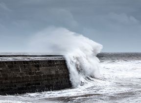
A strong jet stream is pushing another large-scale, low-pressure system from the Atlantic across northern Scotland bringing wet and windy weather for Tuesday night and into Wednesday for much of the northern half of the country. Amber and yellow National Severe Weather warnings for wind have been issued covering much of the UK together with yellow warnings for rain covering parts of western and southern Scotland, and northwest England.
Met Office Chief Meteorologist, Steve Willington, said: “Although this system will be a step down relative to Storm Isha, with the damage and clean up still underway, we could potentially see more impacts from Storm Jocelyn.
“Outbreaks of heavy rain on Tuesday could bring rainfall accumulations of 15 to 20 mm quite widely with 40 to 50 mm over higher ground in southwest Scotland, the Scottish Highlands and parts of northwest England. Wind gusts are expected to reach 55 to 65 mph across northwestern Scotland while there is potential for winds to gust to 75 to 80 mph in a few places, in particular exposed parts of the Western Isles and coastal northwest Scotland early on Wednesday morning.”
The winds will gradually ease through the Wednesday and as we head through the rest of the week the weather continues to look changeable, with the drier and most settled conditions towards the south and east, and the most unsettled (wettest and windiest) conditions expected in the northwest.
Temperatures are expected to remain mild or close to average for the time of year.
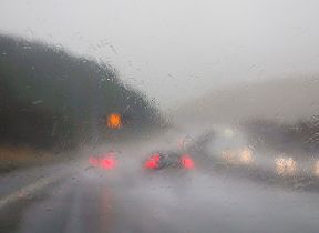
Transport disruption
Martin Thomson, National Operations Manager for Resilience at Transport Scotland said: “The trunk road network is recovering well from the worst impacts of Storm Isha. Some roads and bridges do remain disrupted and so please continue to check before you travel until conditions improve and the clear-up is complete.
“Focus will soon shift to the next named storm, Jocelyn, for later this week, and preparations are already underway with rail, aviation and ferries colleagues to ensure we are as ready as we can be.
“The public can play its part and plan ahead by visiting www.traffic.gov.scot. Staff from our trunk road operating companies will be patrolling the network and undertaking inspections to respond quickly to any further treefall or blocked drains. Their proactive efforts in terms of branch cutting and drain clearing at vulnerable locations has helped minimise disruption in the past.
“Across the wider network, we can expect to see more delays and cancellations with ferries, flights and rail from Tuesday into Wednesday morning. Please check with your public transport operator for the latest information and your local authority and Police Scotland for the latest information on local roads.”
- The Scottish Environment Protection Agency (SEPA) issues flood alerts and warnings for Scotland. View the latest updates on the SEPA website.
- Updates on ScotRail services and road conditions are available online, both on the ScotRail website. Trunk road information is available on the Traffic Scotland website.
- Advice on preparing for severe weather can be found on the Ready Scotland website.
Possible flooding impacts
Mark Garratt, Floody Duty Manager at the Environment Agency, said: “Localised impacts from river flooding are probable on the lower parts of the River Eden in Cumbria today and in parts of North Yorkshire and the City of York today and tomorrow, following Storm Isha and with more rain forecast. Impacts from river and surface water flooding are also possible more widely across the North of England with further rainfall tomorrow falling on already saturated ground.”
"Environment Agency teams are out on the ground, taking action to reduce the impact of flooding and support those communities affected. We advise people to stay away from swollen rivers and urge people not to drive through flood water as just 30cm of flowing water is enough to move your car.
“People should check their flood risk, sign up for free flood warnings and keep up to date with the latest situation at https://www.gov.uk/check-flood-risk, call Floodline on 0345 988 1188 or follow @EnvAgency on Twitter for the latest flood updates.”
You can keep up to date with the latest forecast on our website, by following us on Twitter and Facebook, as well as on our mobile app which is available for iPhone from the App store and for Android from the Google Play store.
Updated at 10:11 (UTC) on Tue 23 Jan 2024