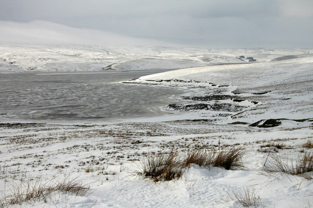
Very cold next week
Author: Press Office
12:07 (UTC) on Fri 12 Jan 2024
A northerly airflow will bring cold arctic air to the UK from Sunday onwards with showers for some.
Yellow National Severe Weather Warnings for potentially disruptive snow and ice have been issued covering parts of northern Scotland for Sunday and Monday and Northern Ireland for Monday.
Whilst accumulation amounts will vary, parts of northern Scotland could see around 10 cms of snow over the two days. Strong winds could result in drifting of lying snow in places. Where showers become more organised, there is a chance some low-lying areas could see up to 10 cm in a few hours.
⚠️ Yellow weather warning issued ⚠️
— Met Office (@metoffice) January 12, 2024
Snow and ice across northern Scotland
Sunday 0000 – Monday 2359
Latest info 👉 https://t.co/QwDLMfRBfs
Stay #WeatherAware⚠️ pic.twitter.com/GKI5XqJVXQ
Brisk northerly winds will drive showers well inland across Northern Ireland on Monday, with these initially falling as snow over higher ground and sleet and rain elsewhere. However, as increasingly cold air spreads south, showers will fall as snow to all levels during the day. Up to 5 cm of snow is likely over higher routes with a few cms also expected at lower levels.
⚠️ Yellow weather warning issued ⚠️
— Met Office (@metoffice) January 12, 2024
Snow and ice across Northern Ireland
Monday 0300 – 2359
Latest info 👉 https://t.co/QwDLMfRBfs
Stay #WeatherAware⚠️ pic.twitter.com/4US3PUV8h5
Through the middle of next week, with cold air firmly in place over the UK, the chance of snow increases across many areas for a time. There’s still plenty of detail to work out but on Tuesday there is the potential for areas of snow to move inland over parts of Northern Ireland, southern Scotland and/or northern England. Whilst on Wednesday, there is a risk of snowfall across southern parts of the UK.
Met Office Deputy Chief Meteorologist Chris Bulmer explained: “Snow showers from Sunday onwards are most likely to move inland from coasts exposed to northerly winds. The focus of snow showers will be over northern Scotland, but parts of the North Sea and Irish Sea coasts may also see some snow at times.
“There are a couple of weather systems for Tuesday and Wednesday which we are keeping an eye on that bring the potential for disruptive snow for some regions. With cold air firmly in place, any weather systems that move across the country next week will bringing mainly snowfall inland. Models are currently showing us a variety of options for both systems and we’ll be able to add more details to in the coming days.”
Ahead of the weekend, largely rather cold and dry conditions are in place for much of the UK, with sub-zero temperatures overnight for many.
The UK Health Security Agency has a Cold-Health Alert in force, which highlights that possibility of significant impacts for the health and social care sector.
Dr Agostinho Sousa, Head of Extreme Events and Health Protection at UKHSA, said: “The temperatures we will see leading into the weekend can rapidly have a serious impact on the health of those over the age of 65 and those with pre-existing health conditions as it increases the risk of heart attacks, strokes and chest infections. It is therefore vital to check in on friends, family and neighbours to ensure they are well prepared for the cold weather next week.”
With cool conditions in charge and the potential for snow and ice for some from Sunday onwards, travel plans could be impacted.
Amy Fellows, National Network Manager at National Highways said: “Freezing conditions bring so many hazards such as snow and ice, so take every possible step to understand your journey in advance and allow lots of extra time when travelling to prepare for the unexpected.
“National Highways also reminds motorists to keep TRIP in mind ahead of journeys – Top-up: oil, water, screen wash; Rest: rest every two hours; Inspect: Inspect tyres and lights and Prepare: check your route and the weather forecast.”
You can keep up to date with the latest forecast on our website, by following us on Twitter and Facebook, as well as on our mobile app which is available for iPhone from the App store and for Android from the Google Play store.