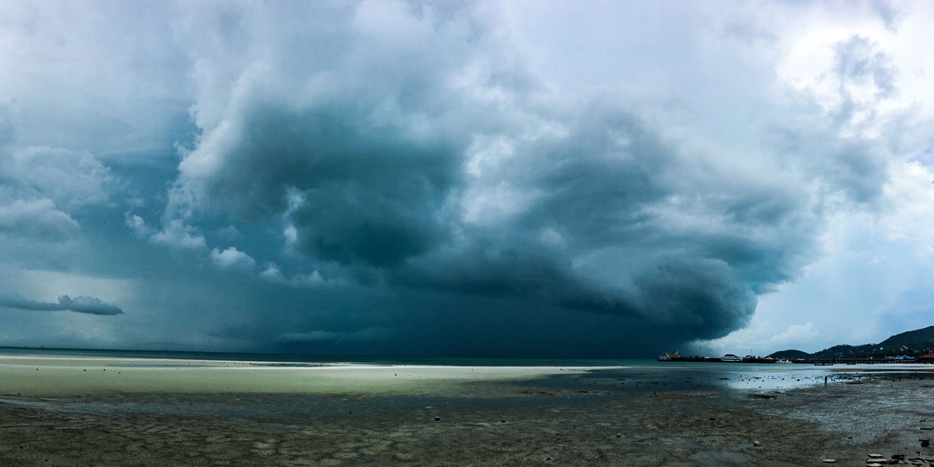
Met Office daily weather: A change is on the way as we come to the end of Summer
The end of August brings a mix of sunshine, showers, and breezy conditions across the UK.
While some areas will enjoy brighter spells, others can expect periods of rain, with temperatures generally near or slightly below average for the time of year.
Thursday will see a combination of sunny intervals and showers, some of which may turn heavy and thundery, particularly in western regions. Showers are expected to be most frequent in the west, with more organised bands of rain affecting Northern Ireland by late morning and moving into south-west Scotland later in the day. It will be breezy in the west and locally inland, especially in and around showers.
Temperatures will be near or just below the seasonal average, with a further step down in maximum values for most areas. However, isolated spots in eastern and south-eastern England may still reach 23 to 24°C. Elsewhere, it will feel cooler, especially where showers are more persistent.
Get ready for a change in the weather, as wetter, windier conditions move in from the west 🌬️
— Met Office (@metoffice) August 26, 2025
An area of low pressure to the northwest of the UK is expected to pick up weather systems from the Atlantic over the next few days, bringing a more unsettled end to the summer 🌧️ pic.twitter.com/hh7yvG9eBI
As we move into Thursday night, conditions will become largely dry with clear spells across eastern and south-eastern areas as well as the far north. Elsewhere, further showers are likely, with some areas, particularly the north-west and perhaps the far south or south-west, seeing these showers merge into longer spells of rain. Breezy conditions will persist for most.
Outlook for Friday
Friday begins with cloudy skies and showery rain across south-eastern areas, some of which may be heavy at times. This rain will gradually clear away into the North Sea. Western and central Scotland may also see longer spells of showery rain, but these will tend to break up into showers as the day progresses.
Elsewhere, expect a mixture of bright or sunny spells and scattered showers, with a continued risk of heavier showers and isolated thunderstorms. By evening and overnight, showers will become more isolated and largely confined to western areas. Winds will be moderate to fresh, occasionally strong along some coasts. Temperatures will be close to normal for late August.
READ MORE: When does Autumn officially start?
Met Office presenter and meteorologist, Honor Criswick, said: “A bright start on Thursday where we'll see the cool skies overnight around central and eastern parts of England. But eventually we'll see more clouds spill in from the west and more showers moving their way eastwards. Once again, heavy and thundery at times before merging into longer spells of rain across Northern Ireland later on into the afternoon. And once again, quite blustery if you do catch any of those heavier downpours. Fairly similar temperatures as well. Highs reaching around 22 to 23°C.
“A lot fresher across the far north, particularly in the northwest of Scotland. Temperatures in the mid to high teens here into the evening. A continuation of those showers still drifting their way eastwards, most persistent across western areas. And for the rest of the week, low pressure is still going to be mostly dominating, particularly across the south and southwest on Thursday and Friday. Might catch some longer spells of rain here, perhaps some quite blustery weather, too."
Keep up to date with weather warnings, and you can find the latest forecast on our website, on YouTube, by following us on X and Facebook, as well as on our mobile app which is available for iPhone from the App store and for Android from the Google Play store.

