Met Office daily weather: Persistent cloud and occasional drizzle
The coming days will be characterised by persistent cloud, occasional drizzle, and mild overnight conditions
Wednesday will bring little overall change to the recent weather pattern. Many areas will see variable, often large amounts of cloud, with the best chance of breaks and sunny spells found west of high ground and more generally across Scotland.
There will be a few light showers or spots of drizzle, mainly affecting coastal areas in the east and southeast, as well as the far north of Scotland. Temperatures are expected to be near average for most locations, with generally light winds.
During Wednesday night, cloud will persist for many, though most places will remain dry. Coastal showers are likely to become more prevalent across northern and northeastern Scotland, accompanied by a freshening breeze.
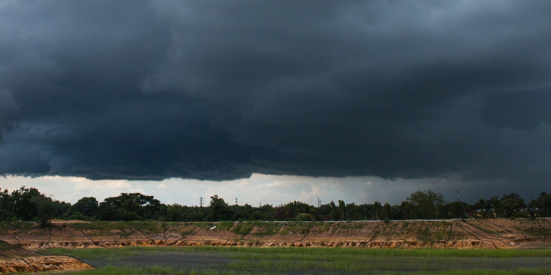
High pressure remains in charge through this week, bringing anticyclonic gloom for many ☁️
— Met Office (@metoffice) October 14, 2025
However, a change is on the way over the weekend with low pressure retuning, bringing wetter and windier conditions from the west ☔ pic.twitter.com/NTdjOFFfEm
Some clear spells are possible, which may allow for localised frost and fog to develop, though the distribution of these features across the UK is more uncertain than on previous nights.
Outlook for Thursday
Thursday will see patchy rain pushing southwest across the Northern Isles, while the rest of the country continues to experience a lot of cloud, thick enough in places for a few spots of drizzle, especially overnight and over windward hills.
Where skies clear overnight, some patchy mist or fog is likely to develop, but the extent remains uncertain. Winds will generally be light, and daytime temperatures will be near or slightly below average, while overnight conditions will be mild for most. However, some ground frost will be possible under clear skies.
Met Office presenter and meteorologist, Alex Deakin, said: “Wednesday will be a very similar story to Tuesday. Most places dry and drab again. Eastern parts of England seeing some drizzly showers at times. Northern Scotland may also continue to see some light showers moving through across mainland parts of northern Scotland.
READ MORE: Met Office week ahead forecast: How long will the anticyclonic gloom last?
“Again, that's where we're likely to be favoured for some sunshine once any early morning mist has gone. And, with the breeze coming in from the east, it'll be western parts of Wales and southwest England that may see some breaks in the cloud and a hint or two of sunshine. But that's pretty much it. Temperatures will be dependent on whether we see the sun coming out. We could see 15-16°C with a bit of sunshine or 11 or 12°C where it stays glum all day and feeling quite cool.
Keep up to date with weather warnings, and you can find the latest forecast on our website, on YouTube, by following us on X and Facebook, as well as on our mobile app which is available for iPhone from the App store and for Android from the Google Play store.