As we move into mid-October, the UK finds itself under the influence of a persistent anticyclone.
This high-pressure system is set to dominate the weather for the week ahead, bringing with it a phenomenon often referred to as “anticyclonic gloom.” But what does this mean for our day-to-day weather, and how will it affect different parts of the country?
Let’s take a closer look at the forecast, the science behind the gloom, and what to expect as we head towards the weekend.
What is anticyclonic gloom?
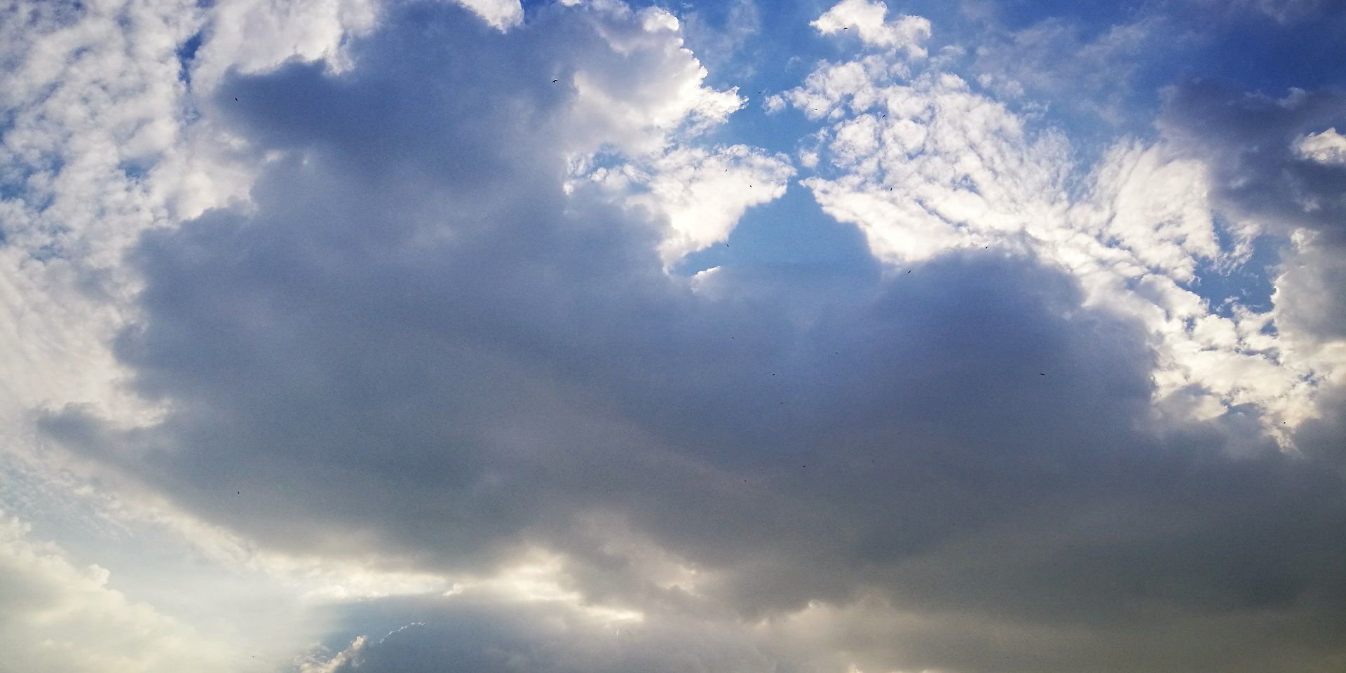
Anticyclonic gloom occurs when a high-pressure system, or anticyclone, settles over the UK. Under high pressure, air sinks towards the ground. This sinking motion can trap a thin layer of moisture or low cloud close to the surface, sometimes accompanied by drizzle.
In the summer, the sun is strong enough to break up this low cloud, lifting it into the clearer air above. However, in October, the sun’s strength is much reduced, and the low cloud remains stubbornly in place, leading to grey, overcast conditions for many.
Early week: Persistent cloud and patchy drizzle
The start of the week sees the high pressure firmly in control, with much of the UK experiencing overcast skies. The thickest cloud is expected across the Midlands, the east, and the southeast of England, where it may be dense enough to produce some drizzly showers, particularly in parts of Kent.
High pressure remaining firmly in charge this week
— Met Office (@metoffice) October 13, 2025
Keeping the weather cloudy, with patchy drizzle here and there ☁️☁️🌧️ pic.twitter.com/J0KdzbA094
Temperatures here will generally range from 14 to 17°C, with the possibility of a few spots reaching 18 or 19°C, especially in West Wales, parts of southwest England, and central and western Scotland where clearer skies are more likely.
Breaks in the cloud: Hills and higher ground
While many will see grey skies, there are exceptions. Higher ground, such as the Pennines and Scottish mountains, can poke above the low cloud into clearer air. These areas have seen extraordinarily low humidities, just 4% recorded over the Pennines earlier this week, and beautiful clear skies. Where the cloud breaks up over higher ground, it can also leave some gaps on the leeward side, benefiting places like West Wales, the southwest of England, and western Scotland, particularly on Tuesday afternoon.
Midweek: Little change, but some local variation
Wednesday brings more of the same, with overcast skies for most. Favoured spots for cloud breaks remain western parts of Wales, the southwest, and parts of northern Scotland. Drizzly showers are still possible in the far north, east, and southeast, but otherwise, many places will be dry. Temperatures will be a little cooler compared to Tuesday, but the overall pattern remains unchanged.
Late week: Subtle shifts and a hint of brightness
Thursday and Friday continue the theme of high pressure and light winds, with the low cloud sheet remaining in place. However, there will be breaks in the cloud, shifting from day to day and place to place. These breaks are difficult to predict precisely, but the far south, central and northern Scotland, and Shetland may see some brighter spells.
By Friday, there is a better chance of more widespread breaks in the cloud, especially in the south, western England, West Wales, and northern Scotland. Temperatures will typically be in the low to mid-teens, and most places will remain dry and settled, if rather cloudy.
The weekend: High pressure loses its grip
As we head into the weekend, the high pressure begins to shift slowly into the North Sea. This change will allow winds to start coming in from the south, bringing a bit more of a breeze and perhaps fewer mist and fog patches overnight where clear spells develop. Saturday is expected to be another generally dry day, but there are hints of a change on the horizon.
READ MORE: What is Anticyclonic gloom?
Weather fronts from the Atlantic will start to approach, with some uncertainty about their timing. These fronts are likely to arrive in the far west during the second half of the weekend, but it could take until next week for them to reach other parts of the UK. The far north may hold on to the high pressure for a little longer.
In summary, the week ahead will be dominated by anticyclonic gloom for many, with persistent low cloud, occasional drizzle, and only limited sunny spells, mainly over higher ground or where the cloud breaks. Temperatures will be near or slightly above average for the time of year, and most places will remain dry and settled. As the weekend approaches, there are signs of a gradual change, with Atlantic weather fronts poised to bring more unsettled conditions, especially in the west, as high pressure finally begins to lose its grip.
For those hoping for sunshine, keep an eye on the forecast for your local area, as those elusive breaks in the cloud can make all the difference. And for weather enthusiasts, the interplay between high pressure, low cloud, and the UK’s varied topography offers a fascinating glimpse into the complexity of our autumn weather.
Keep up to date with weather warnings, and you can find the latest forecast on our website, on YouTube, by following us on X and Facebook, as well as on our mobile app which is available for iPhone from the App store and for Android from the Google Play store.