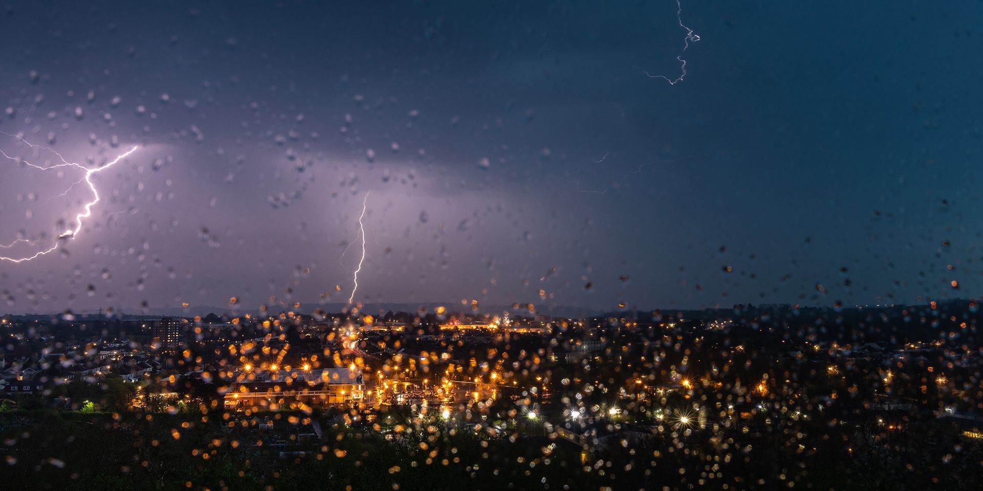
Met Office weather: Warm and humid conditions, with thunderstorms possible later
The weather will become increasingly unsettled through Tuesday and Wednesday.
Tuesday will begin with a mix of variable cloud and sunny spells across much of the UK. For many places, it will be another largely dry day, although a few light showers are possible across north-east England and eastern Scotland.
Further south, conditions will be more changeable. Southern and south-western areas are expected to be cloudier, with occasional light rain or showers developing through the day. Most of these will be fairly light and scattered, but there is a growing risk of heavier showers and isolated thunderstorms developing later, particularly across south-west England.
Temperatures will be highest across central and western parts of England and Wales, where it will feel warm in any sunshine. In contrast, north-eastern areas are likely to remain cooler.
Conditions become more uncertain on Tuesday night as bands of heavy, potentially thundery rain begin moving northwards across England and Wales. Some outbreaks may also reach parts of Northern Ireland, although confidence in the exact extent and distribution of the heaviest rainfall remains lower.
A fine start to the week for many but the weather looks set to turn more unsettled, with heavy rain, thunderstorms and increasingly humid conditions on the way ⛈️
— Met Office (@metoffice) August 24, 2026
More details on this week's weather right here 👇 pic.twitter.com/MZJWc7oHjQ
Further north, Scotland and northern England are expected to remain largely dry with variable cloud. It will also be a warmer night than many have experienced recently, with increasingly humid air spreading northwards.
Outlook for Wednesday
By Wednesday, a band of thundery rain and showers is likely to continue edging northwards across England and Wales, potentially reaching Northern Ireland and southern Scotland by the evening. As it moves north, the rain is expected to gradually weaken.
Away from the rain, there will still be some clear or sunny spells, particularly across western and north-western parts of the UK. However, further heavy and thundery outbreaks of rain may spread into the far south-west later in the day, bringing the potential for more disruptive weather.
Temperatures will remain near normal in the north-east, while southern and north-western areas are likely to feel rather warm and increasingly humid. Overall, the middle of the week marks the start of a more unsettled spell, with thunderstorms becoming a growing feature of the forecast.
Met Office presenter and meteorologist, Clare Nasir, said: “Today will feel warmer than yesterday, with increasingly humid air spreading north from the south. While high pressure remains to the north-east, low pressure to the south-west will bring areas of showery rain northwards through the week, with further spells of heavy, thundery rain possible. Given how dry conditions have been across England and Wales in recent months, some of this rainfall could be quite impactful.
READ MORE: Festival forecast: Changeable weather on the way
“For Tuesday, many places will enjoy sunshine, especially across Scotland, Northern Ireland, England and Wales. Showers will begin to develop across the south-west, while a brisk easterly breeze keeps eastern coasts feeling cooler. Temperatures will be higher than yesterday, reaching 25 or 26°C across parts of England and Wales, with highs around 20 to 22°C in Northern Ireland and western Scotland.
“Rain and showers will gradually spread northwards overnight, with increasingly humid conditions and a milder night than recently for many areas.
“On Wednesday, bands of showery rain will continue to move slowly northwards across parts of England, Wales and Northern Ireland, with the risk of thunderstorms. However, many northern areas will stay dry with sunny spells. It will remain warm and humid in the south, with temperatures again reaching 25 or 26°C, while eastern coasts stay cooler in the easterly breeze.
“Further showers and spells of rain will continue to develop and move northwards through the second half of the week, so it's worth keeping up to date with the latest forecast.”
https://www.youtube.com/watch/lyYun0oDxRc?start=0Keep up to date with weather warnings, and you can find the latest forecast on our website, on YouTube, by following us on X and Facebook, as well as on our mobile app which is available for iPhone from the App store and for Android from the Google Play store.