Met Office weather: Changeable conditions continue
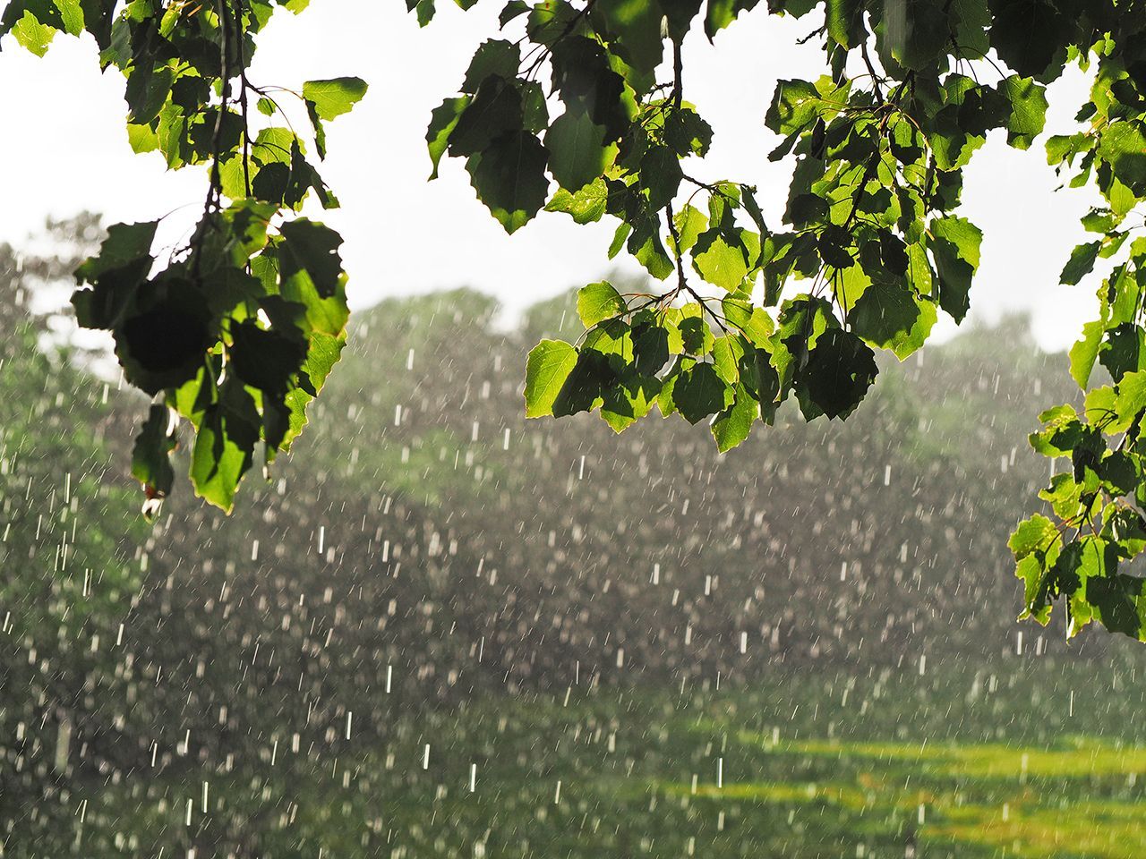
A changeable couple of days ahead, with a mix of sunshine, showers and some longer spells of rain, alongside rather cool temperatures for the time of year. Winds will also be a noticeable feature at times, adding to the cool feel.
Tuesday: brighter spells, then showers
Tuesday will begin with a clear and chilly start for many parts of England and Wales, following overnight cloud and rain moving away to the southeast. Any early rain will become increasingly patchy, allowing sunny spells to develop for a time. However, these brighter conditions will be short‑lived in some areas, with showers following in from the northwest later in the day.
Scotland and Northern Ireland will see sunny spells and blustery conditions, with locally heavy showers, especially across Scotland. Some of these showers may contain hail and isolated thunder, with a possible lull late morning or early afternoon before further showers arrive later.
Temperatures will be widely higher than on Monday, particularly in eastern areas where a change in wind direction will make it feel noticeably milder. Daytime temperatures will typically reach between 10 and 15°C, with an isolated maximum of around 16°C possible in the east.
Read more: Why frost can still occur in late Spring
Tuesday night into Wednesday: showers and a cool feel
Showers will become more widespread through Tuesday night, affecting most parts of the UK. These may be organised into bands at times, with a mix of rain and hail, and isolated thunderstorms. Over the highest ground in Scotland, some wintry precipitation is possible. Winds will freshen from the northwest, and overnight temperatures will generally be near average, with frost largely confined to upland areas.
Wednesday will bring a familiar mix of sunshine and showers, with showers initially focused on windward coasts before becoming more widespread inland. Some may again be heavy, with hail, thunder and gusty winds. Daytime temperatures will remain below average, and the brisk winds will make it feel particularly cool for the time of year.
Met Office Presenter and Meteorologist Clare Nasir, said: “Through the morning if you're stepping out first thing across England and Wales, it's mostly dry. Certainly some sunshine across more southern areas. A little rain just nudging in across Cumbria as well as Northland down towards Pennines. For Northern Ireland, you're seeing a lot of cloud and also a little rain first thing.
“There will be showers across much of Scotland as the rain clears eastern Scotland through the next few hours. A weather front will weaken introducing more cloud for a time across northern England and North Wales by around midmorning. Under brighter skies further south there with some sunshine and the sun will come out further north as these showers become a little bit more scattered through the afternoon. The wind will be fairly strong across the western side of Scotland into Northern Ireland. Temperatures around 13°C in the north, probably 16°C in the south, so a degree or so higher than yesterday.”
Keep up to date with weather warnings, and you can find the latest forecast on our website, on YouTube, by following us on X and Facebook, as well as on our mobile app which is available for iPhone from the App store and for Android from the Google Play store.