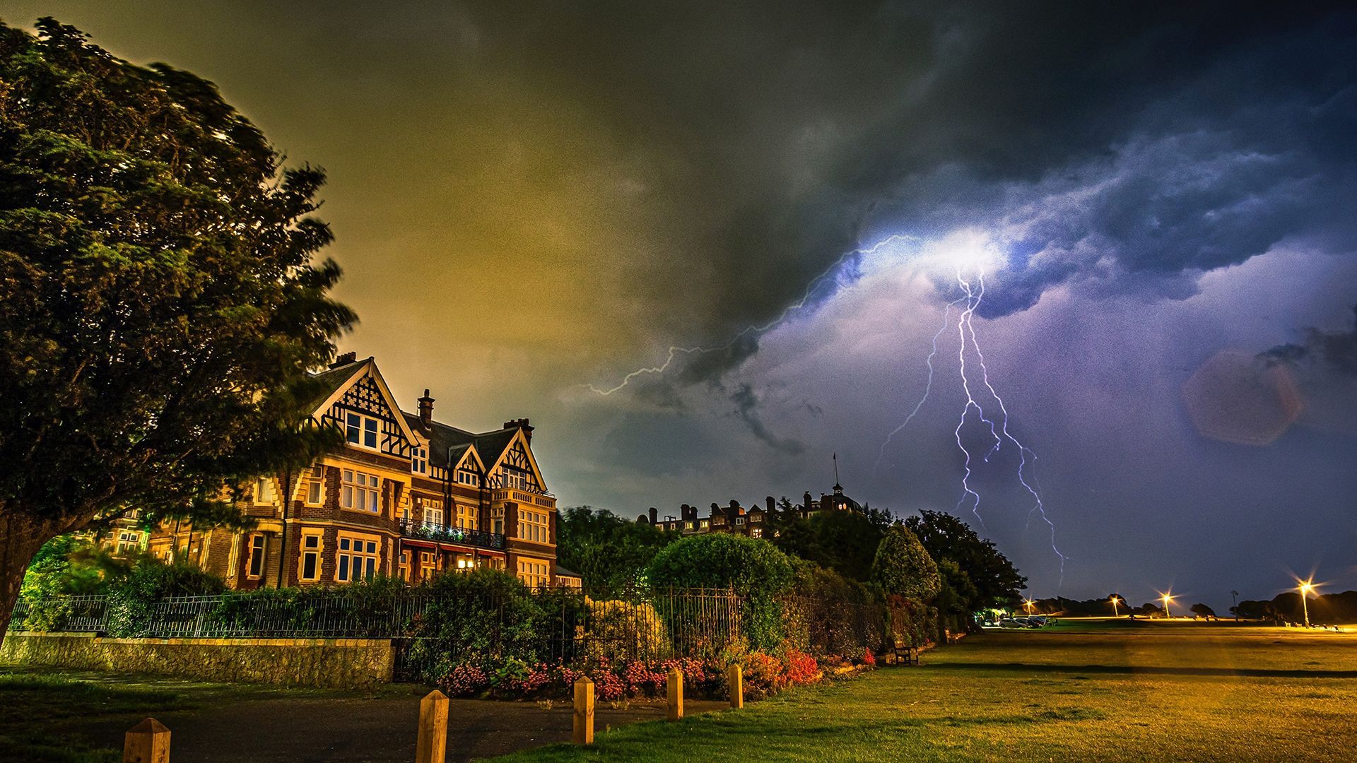
Rising temperatures this week to trigger thunderstorms and heavy downpours
Warm air from the continent will drive temperatures up later this week, bringing with it the chance of thunderstorms.
A plume of warm air moving in from the south will drive a change to the weather later this week. Rain and showers across the northern half of the UK will ease through Monday night leaving a drier day on Tuesday, with spells of sunshine across much of the country by afternoon. The south and west will be the cloudiest locations.
While Wednesday itself will be a largely fine and dry day for much of the UK, with just the southwest of England, Northern Ireland and western Wales perhaps under cloud, heavy, thundery showers will move in through the evening and overnight from the southwest.
Some western areas could see 20-40mm of rain over just a few hours as these intense downpours move through to the northeast, with frequent lightning for some.
Met Office Deputy Chief Meteorologist, Mike Silverstone, said: “After largely benign weather early in the week, some intense, thundery showers will move in on Wednesday evening. These thunderstorms are being triggered by some warm, humid air that is moving into the UK from the south. The intense rainfall could see 20-40mm accumulating over just a few hours, which could cause some disruption. While there are no severe weather warnings issued at the moment, it is possible thunderstorm warnings may be issued this week.”
Read more: What role does convection play in weather
The thunderstorms and a wider area of showers will move north and east through Thursday, leaving more settled weather for a time through Friday for most. However, another band of thunderstorms moves in again from the south-west later Friday bringing further intense rainfall into the early hours of Saturday.
Temperatures rising through the week
The thunderstorms are being triggered by warm air moving in from the south. While there will be varying degrees of cloud cover across the UK, temperatures will build through the week. Highs of 27°C are forecast for Wednesday, 27°C for Thursday with 29°C possible by Friday. The highest temperatures are expected in southeast and central England.
Mike added: “As temperatures rise this week, it is possible heatwave thresholds could be reached in some parts of the UK, particularly the northwest Midlands, northwest England and northeast Wales, however it is very dependent on cloud cover later this week, so it is not a certainty.
“This warm spell will feel different to the fine weather we experienced in May as the humidity will be much higher, making it feel more uncomfortable. Additionally, while in May the nights were still fairly cool, overnight temperatures this week are forecast to remain fairly warm, which can disrupt people’s sleep.”
Further ahead
By the end of the weekend, the humid and thundery airmass will be displaced by fresher and generally more settled conditions spreading east across the UK. The south is forecast to become more settled with temperatures a little above average while northern parts of the UK, especially the northwest, are likely to be more changeable, with spells of stronger winds, cloud and some rain at times.
Keep up to date with weather warnings, and you can find the latest forecast on our website, on YouTube, by following us on X and Facebook, as well as on our mobile app which is available for iPhone from the App store and for Android from the Google Play store.


