Further snow and ice forecast following Storm Goretti
As Storm Goretti’s influence wanes through Friday further snow and ice warnings have been issued, with disruption likely for much of Scotland and northern England on Sunday.
Storm Goretti latest
Storm Goretti has been an impactful weather system, with significant disruption and impacts reported so far. A peak gust of 99mph was reported at St Marys on the Isles of Scilly, the highest here since 1991.
Accumulations of snow have also been reported, 15cm has been recorded at Lake Vyrnwy in Powys, 7cm at Preston Montford in Shropshire and 7cm at Nottingham. Wider accumulations have been recorded, as well as some higher unofficial totals from non-Met Office observations. Notable snow accumulations continue in Scotland, with 27cm at Altnaharra in Sutherland, 26cm at Loch Glascarnoch and 22cm at Durris in Kincardineshire. The lowest temperature recorded overnight was -13.3°C at Braemar, Aberdeenshire.
Here is an update of the highest wind gusts currently recorded by Storm Goretti. The highest is still 99 mph in St Marys pic.twitter.com/Hep1ABOX5f
— Met Office (@metoffice) January 8, 2026
The influence of Storm Goretti will reduce through Friday, though the system will be responsible for the further wet weather in eastern parts of England through the day as the system gradually moves towards mainland Europe.
Read more: Storm Goretti: Key stats from the multi-hazard event
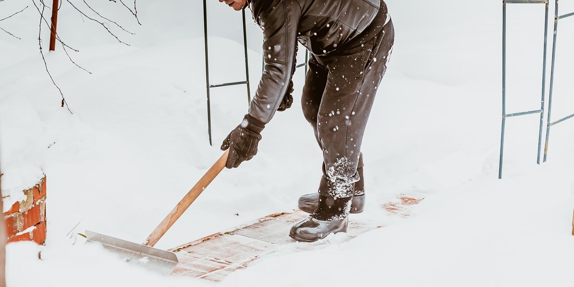
Further snow and ice to come
Conditions will now gradually improve, resulting in a period of respite for many on Saturday with some sunny spells at times. However, further ice and wintry showers, with some snow on high ground, are likely to affect many northern areas and Wales. Ice and snow warnings have been issued for this.
Saturday’s period of calmer conditions for many is relatively short-lived, as another front arrives from the west on Sunday. This brings the risk of further snow which has the potential to be disruptive with warnings issued for this.
Met Office Chief Forecaster Steve Willington said: “Following on from a Saturday which will be largely dry away from northeastern parts of Scotland and England, a front from the west on Sunday will bring snow for parts of Scotland and northern England with low temperatures continuing the ice risk.
“A further 2-5cm of snow is possible to accumulate at low levels within the warning area on Sunday, with 10-20cm possible over higher ground. With much of this falling in areas that have already seen severe snowfall, ongoing disruption is likely. Those in central and southern England and Wales will see this fall as rain, in what will be a wet Sunday for many.”
Further warnings are possible for Sunday, so it’s important to stay up to date with the latest Met Office forecast. In addition to the severe weather warnings, UKHSA Amber cold weather health alerts are in place for all regions of England until 12 January.
Flood risk
The Scottish Government’s Resilience Room (SGORR) met on Friday afternoon to consider the ongoing response to the severe weather in northern Scotland, with ongoing snow and ice impacts and a combination of melting snow and rain increasing the flood risk for some in the coming days.
Scottish Justice Secretary, Angela Constance, said: “As we enter a second consecutive weekend of weather warnings with continued snowfall and cold conditions forecast, I appreciate parts of Scotland are still not back to normal. While progress on recovery by partners continues at pace, I again want to thank the public for their patience and understanding that full recovery takes time.
“If anyone affected is isolated or needs help or assistance, they should not hesitate to seek help from their local authority, health board or other public service.
“Yellow warnings for snow and ice are in place across most of Scotland for much of the weekend making driving conditions dangerous and increasing the risk to slips and falls.
“Later on Sunday, snow will start to transition to rain or sleet and flooding impacts are likely in northwest Scotland, with a low risk of minor river and surface water flooding affecting low lying land, roads and properties.
“Taken together, it’s therefore really important for people to continue to plan ahead this weekend and check the range of weather, travel and flooding advice available.
“Ministers will continue to do everything that we can to monitor and manage the situation.”
David Morgan, SEPA Flood Duty Manager, added: "As temperatures rise following recent cold conditions, thaw of lying snow from Sunday onwards will increase the risk of flooding. Possible impacts could include flooding of low lying land, roads and individual properties. Keep up to date on the latest information by checking our three-day Scottish Flood Forecast ."
People are encouraged to sign up to the Floodline service to receive free updates for where they live, or where they’re travelling through, directly to their phone. People can also check flood updates for all the latest updates and have a look at the three day Scottish Flood Forecast to see what’s expected further ahead.
Advice for severe weather
With multiple types of severe weather impacting the UK over the next couple of days, the Met Office’s WeatherReady campaign offers practical advice to help you prepare your home, garden, and daily routines for winter weather.
People cope better with power cuts when they have prepared for them in advance and it's easy to do. The essentials that could help you cope with a power cut are:
- candles and matches or lighters,
- torches and batteries,
- a mobile phone power pack
Take time to check if your property is at risk of flooding through SEPA, the Environment Agency, Natural Resources Wales and NI Direct.
Turning milder next week
Temperatures will return closer to average for most through next week, with a south-westerly regime dominant, though this also brings with it the likelihood of further unsettled weather at times.
Low pressure will be influencing the weather at the start of next week, with some wet and windy conditions likely for many parts of the UK.