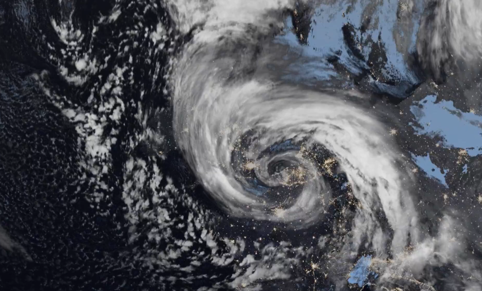
Storm Goretti has swept across the UK, bringing a multi-hazard event with exceptionally strong winds, heavy snowfall, and significant rainfall.
The storm’s impacts have been felt most acutely in the southwest, Wales, the Midlands, and parts of northern England, with widespread disruption to travel and daily life.
Wind speeds: Exceptional gusts and coastal hazards
A red warning for wind was issued for the Isles of Scilly and much of Cornwall as Storm Goretti approached, with the strongest gusts reaching 99mph at St Mary’s Airport in the Isles of Scilly, the highest recorded on the isles since 1991. In the west of Cornwall, Culdrose saw winds reach 90mph, while Camborne experienced gusts of 80mph.
Elsewhere, strong winds affected the far southwest of Wales and other parts of southern England, with gusts of 64mph reported in Dorset and 60mph in Kent. Castlemartin Warren, in Pembrokeshire, saw gusts of 53mph.
With these strong winds came very large waves creating dangerous conditions along the coast.
READ MORE: A look back at the 2024/25 storm season
Snowfall: Widespread accumulations and amber warnings
Storm Goretti brought a spell of snow to Wales, the Midlands, and parts of northern England, prompting an amber warning for snow in these regions. Officially, 16cm was recorded at Lake Vyrnwy in Powys, 7cm at Preston Montford in Shropshire and 8cm at Nottingham.
Wider accumulations have been recorded, as well as some higher unofficial totals from non-Met Office observations where unofficial reports suggest as much as 20-25 cm may have fallen over high ground in parts of Wales and the West Midlands. Snowfall persisted overnight and into Friday morning, causing significant disruption to travel and daily routines.
Notable snow accumulations continue in Scotland, with 27cm at Altnaharra in Sutherland, 26cm at Loch Glascarnoch and 22cm at Durris in Kincardineshire. Snow has been falling across parts of Scotland since the start of the year, causing significant impacts.
Cold conditions continue in with a risk of snow and ice, although Scotland, Northern Ireland, and the far north of England are seeing more settled weather, with some coastal wintry showers but generally brighter and drier conditions inland. Temperatures fell well below freezing in some areas, with the lowest temperature recorded overnight being -13.3°C at Braemar, Aberdeenshire.
Rainfall: Additional hazards and regional impacts
In addition to wind and snow, Storm Goretti brought significant rainfall, particularly to parts of southwest Wales and eastern England. Numerous yellow warnings for wind, snow, and rain were issued across different regions of England and Wales. Rain was a disruptive factor for many in the south and southwest of England, especially on Thursday night and into Friday morning, contributing to hazardous driving conditions and the risk of localised flooding.
The highest rainfall total was recorded in Cornwall, which saw 61.8mm fall at Colliford Dam, followed by 57mm Ddolwen Bridge, Dyfed, and 54mm at White Barrow in Devon.
Alongside snow, wind and rain, Storm Goretti’s pressure stats are notable, with the lowest recordings coming from the Isle of Wight at 966.7mb, Dorset with 966.9mb, and West Sussex recording 968.0mb.
Disruption and safety advice
The combination of severe winds, heavy snow, and rain led to widespread disruption, with train and bus routes affected and tricky conditions on many roads. Drivers were advised to heed amber weather warnings for snow, avoid unnecessary journeys overnight, and ensure vehicles were equipped for emergency situations. Birmingham Airport was also temporarily closed.
Alongside the travel disruption, a number of schools were closed early and many areas experienced power cuts, villages were cut off and the NHS was reportedly inundated with people needing healthcare assistance due to the storm. The Met Office’s WeatherReady campaign offers practical advice to help people prepare for winter weather, including tips for home, garden, and travel safety.
READ MORE: How does the Met Office work with government, emergency and defence partners?
Weekend outlook: Brief respite before further unsettled weather
Storm Goretti’s influence will wane come Friday evening as the system moves east. Saturday will bring a short-lived interlude of calmer weather for many, though snow and ice warnings have been issued for much of the UK as the cold conditions continue to bring wintry hazards.
Following on from a Saturday which will be largely dry away from northeastern parts of Scotland and England, a front from the west on Sunday will bring snow for parts of Scotland and northern England with low temperatures continuing the ice risk. A combination of melting snow and rain increases the flood risk for some in the coming days.
Yellow severe weather warnings for snow and ice have been issued for Scotland and parts of northern England on Sunday. A further 2-5cm of snow is possible to accumulate at low levels within the warning area on Sunday, with 10-20cm possible over higher ground. With much of this falling in areas that have already seen severe snowfall, ongoing disruption is likely. Those in central and southern England and Wales will see this fall as rain, in what will be a wet Sunday for many.
Looking ahead: Milder conditions and ongoing uncertainty
Temperatures will return closer to average for most through next week, with a south-westerly regime dominant, though this also brings with it the likelihood of further unsettled weather at times. Low pressure will be influencing the weather at the start of next week, with some wet and windy conditions likely for many parts of the UK.
You can find the latest forecast on our website, on YouTube, by following us on X and Facebook, as well as on our mobile app which is available for iPhone from the App store and for Android from the Google Play store.