Good Friday: but not so good on Easter Monday
Author: Press Office
16:36 (UTC+1) on Wed 5 Apr 2023
After an unsettled spell to end the working week, the Easter Bank Holiday weekend will open with a good deal of fine and settled weather.
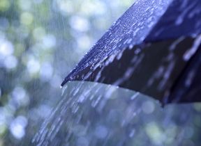
However, a weather system in the Atlantic is poised to introduce more unsettled conditions by Easter Monday.
Dan Suri is a Met Office Chief Forecaster. He said: “Ahead of the Bank Holiday weekend, unsettled conditions will see bands of rain – with some heavy bursts in places – moving eastwards through the rest of Wednesday and early Thursday. As this clears a mixture of sunshine and showers will prevail for much of Thursday before a more settled pattern establishes for Good Friday and Easter Saturday as high pressure begins to build.”
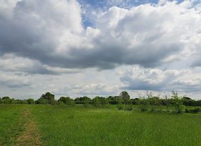
For many, Good Friday will be free of rain with spells of sunshine, especially in the west. However, eastern coastal stretches are likely to be cloudier, bringing some light rain or showers and perhaps some fog patches from the North Sea. It will be a chilly start to Good Friday with a frost in many western areas, although regions under sunnier skies will see temperatures rise as high as 16°C or 17°C during the day.
David Oliver, a Met Office Deputy Chief forecaster, said: “Similar conditions are likely for much of the UK on Easter Saturday, but during the second half of the Easter weekend the Atlantic will increasingly exert its influence.
“A frontal system is expected to move in from the west and displace the high pressure lying across the UK. This will spread rain across all areas during the latter part of Easter Sunday and through Easter Monday, although there is some uncertainty regarding its exact timing. Once the rain clears blustery showers are likely to follow in its wake across many areas.”
You can check the latest forecast on our website, by following us on Twitter and Facebook, as well as on our mobile app which is available for iPhone from the App store and for Android from the Google Play store. Keep track of current weather warnings on the weather warning page.