This winter has felt exceptionally wet for many parts of the UK, with repeated bouts of rain and very few prolonged dry spells.
For many, it has seemed as though the season has been “stuck on repeat,” with one Atlantic weather system quickly followed by another. But what has been driving this persistent pattern, and why has 2026 stood out as particularly damp? A combination of atmospheric dynamics, regional weather patterns and the influence of climate change have all played a role.
A more energised jet stream
At the heart of this winter’s story lies the jet stream – a fast-moving ribbon of air high in the atmosphere that strongly influences the UK’s weather. During the early part of the season, North America experienced repeated outbreaks of freezing conditions. These significant temperature contrasts between cold Arctic air and warmer air to the south helped energise the jet stream, making it stronger and more active than usual.
A strengthened jet stream acts like a conveyor belt, guiding low-pressure systems across the Atlantic towards the UK. This winter, that conveyor belt has been particularly efficient. Storm systems that might normally weaken or divert instead travelled directly across the ocean, bringing successive bands of wind and rain.
A southward shift in the storm track
Not only has the jet stream been more powerful, it has also taken a more southerly route than normal. This subtle shift in position has had a notable effect on where the wettest weather has been focused.
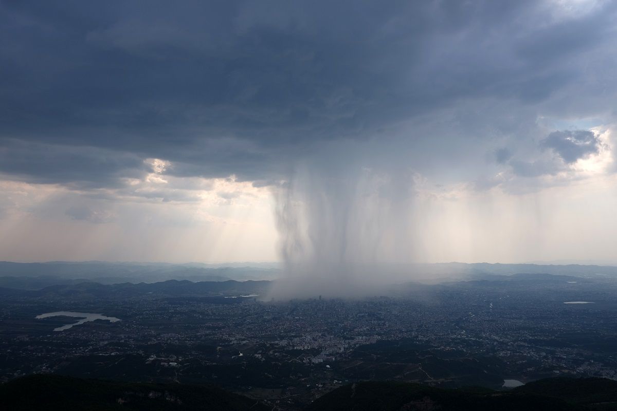
With the jet stream displaced southwards, low-pressure systems have followed suit. This positioning allowed a semi‑permanent south-easterly flow to develop over the UK. In practice, this meant moist air was drawn from the seas surrounding the British Isles and directed towards regions such as the Southwest of England, eastern Scotland and the east of Northern Ireland. These areas have seen repeated rainfall events, contributing to higher-than-average totals.
Western Scotland, however, has been a noticeable exception. Typically one of the UK’s wettest regions, it has found itself positioned to the north of the main storm track more often this winter. As a result, it has been considerably drier compared with average, a reminder that even in very wet winters, regional contrasts can be significant.
Met Office presenter and meteorologist, Alex Deakin, said: "A southerly shift in the jet stream, driven by the freezing conditions across North America, pushed low‑pressure systems further south than usual. Combined with a blocking pattern that caused these systems to stall, this set up a semi‑permanent south‑easterly flow into the UK. As a result, rain has been funnelled in from the surrounding seas into the Southwest of England, Eastern Scotland, and the east of Northern Ireland, while western parts of Scotland have been notably drier than normal."
READ MORE: Week ahead: Heavy rain, sunshine, frost and the potential for snow
Blocking patterns slowed weather systems down
Alongside the jet stream’s influence, a blocking high-pressure system over northern Europe played an important part. High-pressure blocks can act like atmospheric roadblocks, slowing or even halting the progress of low-pressure systems.
This winter, the block over northern Europe caused incoming weather systems to stall as they approached the UK. Instead of moving swiftly through, these systems lingered, allowing repeated waves of rain to fall over the same areas. This persistence has amplified the feeling that the wet weather has been relentless, as any brief breaks between fronts were short-lived.
When low-pressure systems slow down in this way, the cumulative rainfall can quickly mount. Even if individual events are not extreme, their repeated, prolonged nature increases the risk of surface water flooding, saturated ground and river levels rising.
Persistent rainfall created a season with little respite
Since the start of the year, rainfall has been not only frequent but also sustained. Many areas have experienced long spells of unsettled weather with only short, scattered dry intervals. The lack of prolonged respite means that soils have remained saturated, and rivers have stayed high, reducing the landscape’s ability to absorb additional rainfall.
This pattern of continuing rainfall has contributed to the perception that winter has lacked variety, that every week has brought similar weather conditions. While there have been occasional clearer or colder spells, they have tended to be brief and quickly overridden by the next Atlantic system.
Sarah Davies, Head of Environment and Energy at Met Office, said: “Wet weather has persisted for many areas over the past few weeks, with repeated Atlantic low pressure systems leaving ground conditions particularly saturated across southern parts of the UK.
“While it is likely to remain changeable over the next few weeks, with further wet weather at times, the focus for the wettest conditions is expected to shift to western hills, where we would normally expect it at this time of year. However, given some areas elsewhere remain sensitive following recent rain, any further spells of rain as we head into early spring has a higher chance of causing some impacts than normal for this type of setup.”
READ MORE: February’s weather extremes: a closer look at February's current weather records
The role of climate change
While this winter’s weather has been heavily influenced by natural variability and atmospheric patterns, climate change provides important context.
A warmer atmosphere can hold more moisture, approximately 7% more for every degree Celsius of warming. This means that when it does rain, downpours can be heavier and more intense. This characteristic is already being observed in the UK and globally, with rainfall totals on the wettest days increasing over recent decades.
Climate change is also associated with a trend towards wetter winters in the UK. Winters are expected to feature more days with significant rainfall, particularly in western regions.
Attribution studies across the UK and Europe have linked several record-breaking rainfall events to the influence of human-induced climate change. While no single weather event is caused solely by climate change, the background warming of the atmosphere is loading the dice, making extreme rainfall more likely and making wet winters increasingly common in the long term.
Looking ahead
The combination of a powerful jet stream, a southward-shifted storm track and a blocking pattern over Europe created the perfect setup for a notably wet winter in 2026. Added to this, the influence of climate change means that such winters are becoming less unusual, and the potential for intense and persistent rainfall is growing.
Future winters in the UK are expected to continue this trend, bringing more heavy rainfall days and increased chances of multiple storm systems arriving in close succession. While regional differences will always exist, as seen with western Scotland’s drier conditions this season, the overall pattern points towards wetter, more unsettled winters becoming part of the UK’s evolving climate.
You can find the latest forecast on our website, on YouTube, by following us on X and Facebook, as well as on our mobile app which is available for iPhone from the App store and for Android from the Google Play store.