
Storm chasing to improve our extreme weather forecasts
During summer 2023, the Met's Office Wessex Convection Experiment (WesCon) campaign focussed on observing convective clouds to better understand how they form and develop, leading to heavy rainfall and thunderstorms.
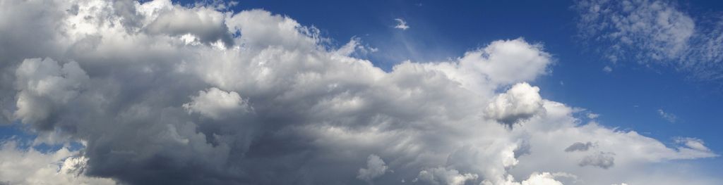
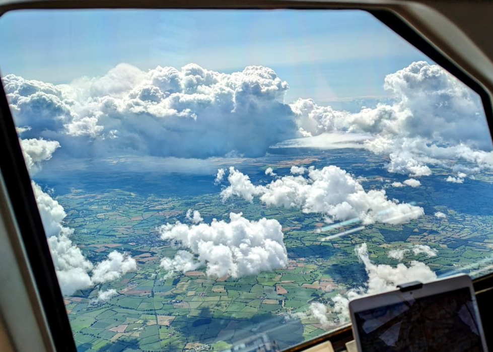 Figure 1: Showers over the Wessex region, taken from the flight deck of the FAAM research aircraft.
The project involved 30 days of intense observations using two research aircraft, three ground-based radar systems, numerous uncrewed-arial vehicles (UAVs/ drones) and a large suite of other ground-based and remote sensing equipment. This concentration of available measurement platforms coupled with above average summer rainfall for the UK provided a fantastic opportunity to improve our understanding of convection.
Routine radar measurements recorded details of the 3D structures of clouds and rainfall within the WesCon domain (Figure 1), supported by ground-based sensors. These were augmented by bespoke measurements from the deployable platforms (Figure 3). The research aircraft and UAVs measured turbulence and thermodynamics within the pre-convective environment. The FAAM aircraft measured turbulence and cloud properties alongside the CAMRa steerable radar, often making synergistic measurements of the same clouds. Observations took place across a range of conditions from shallow clouds, giving light rain, to deeper more active storms with heavy rain at the surface.
For the first time, we had co-located radar and aircraft measurements of the turbulence within clouds at scales smaller than 100 m. This step-change in our observational capability is a fundamental component in the evaluation and development of current and future generations of weather forecast models that operate at ever-increasing complexity and with enhanced resolution.
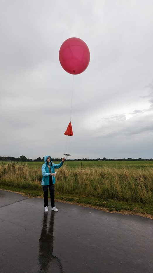 Figure 2: Met Office Industrial Placement Student, Aoife McQuaid, launching one of the 350 radiosondes released during the campaign.
Led by Met Office Observation-Based Research, more than 250 people, including from UK universities and international partners, were involved daily between 1 June and 25 August to produce the campaign dataset.
Paul Barrett, WesCon Lead Scientist: “We want to improve our understanding of convective clouds, how they build from fluffy clouds to bigger, more active systems that can lead to summertime showers and storms.
“Due to the showery conditions experienced during the summer, we were able to collect lots of data, which is helping us to better understand the processes leading to high-impact weather and give more accurate forecasts and guidance.”
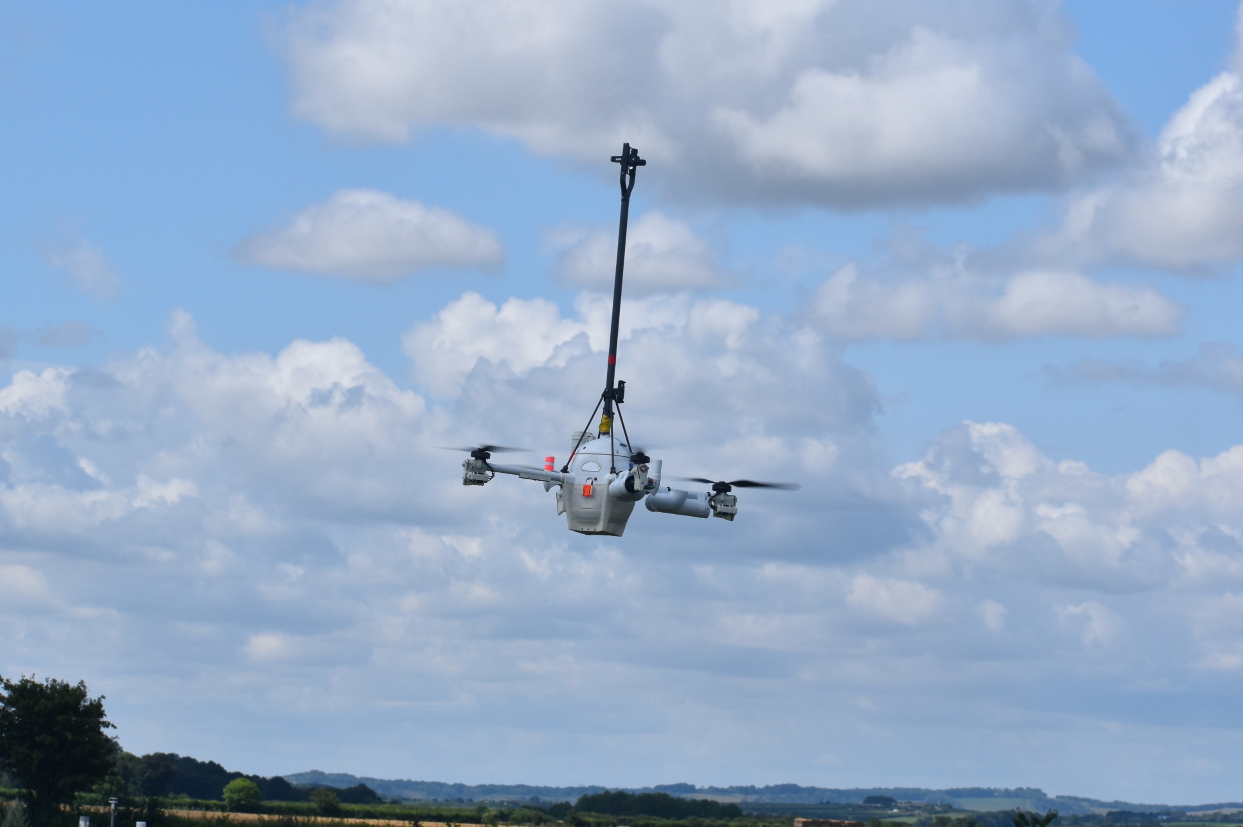 Figure 3: One of four UAVs, pictured at Chilbolton in Hampshire, that flew for a combined total of 120 hours.
The WesCon campaign forms part of the ParaChute Programme, a joint partnership between the Met Office and NERC (the Natural Environment Research Council). ParaChute aims to increase our understanding of how turbulent processes produce and maintain convective storms, and improve the way we represent these processes for the Next Generation of Numerical Modelling Systems. The WesCon dataset will be used to test and build better physical representations in our models. The eventual aim is to improve our forecasts of extreme weather, such as flash flooding and storms, ultimately helping people to be informed and stay safe.
 Figure 4 -