Met Office daily weather: Unsettled conditions across the UK
The midweek period will see a return to unsettled conditions across much of the UK
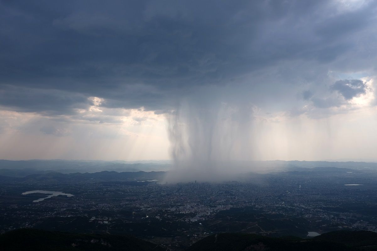
Wednesday will see a return to unsettled conditions across much of the UK. After a cold and, in places, frosty start in southern and eastern England, cloud and outbreaks of rain will move in from the west. The rain is expected to be heavy at times, particularly in western and southwestern areas, where there is a risk of localised flooding and travel disruption.
The Met Office has issued yellow warnings for heavy rainfall and fog in parts of England and Wales, with the potential for surface water issues and difficult driving conditions.
Blustery showers, some possibly accompanied by hail and thunder, will follow into the northwest later in the day. Winds will strengthen widely, with coastal gales possible in exposed western locations. Despite the chilly start, temperatures will rise through the day, reaching near or slightly above average for mid-December, with highs of 12–13°C in the south and west.
https://x.com/metoffice/status/2000946940704379036Early morning fog and frost may linger in some central and eastern areas before the milder, wetter air arrives. As the rain clears eastwards, drier and clearer conditions will develop in the far west by evening.
Outlook for Thursday
Thursday will remain unsettled, with further spells of rain affecting many areas, especially during the morning. The heaviest and most persistent rain is likely across England and Wales, with the far north of Scotland seeing drier and brighter conditions. Winds will remain brisk, particularly in exposed areas, but will gradually ease later in the day.
Temperatures will continue to be mild for the time of year, with highs of 11–13°C in the south and west, and slightly cooler further north. As the rain clears, brighter and drier weather is expected to develop from the west, giving some respite by late afternoon and into the evening.
Met Office presenter and meteorologist, Alex Burkill, said: “A warning has been issued because there's likely to be some travel disruption on Wednesday morning. Further west, that initial fog is likely to lift and clear away. Now, temperatures are going to take a little bit of a drop, getting close to, if not a little bit below freezing in some prone rural spots. So, a bit of frost around for some of us.
“Further west, after a chillier start to the night, temperatures will start to pick up with that wet and that windy weather that's going to sweep its way in. So, through tomorrow, then a a fine, albeit perhaps foggy start for some central and eastern parts but staying largely dry across the east through much of the day. A different story elsewhere as rain spills its way in. And some of that rain is going to be quite heavy, particularly across parts of the southwest. South Wales, parts of Dartmoor, for example, could see some significant rainfall totals building up, maybe 40mm to 60mm. So, enough to cause some further flooding and some travel disruption as well.
READ MORE: Week ahead forecast: Wet weather continues, but signs of change for Christmas
“Elsewhere, the rain could be a bit heavy at times, but less likely to cause the impacts. That being said, the ground is very saturated in many spots. Temperatures look fairly similar to Tuesday across the south. Again, we're looking at temperatures peaking in the low teens. Further north, temperatures are going to be a fair few degrees higher than on Tuesday. But with less sunshine on offer, more cloud, more rain, stronger winds, if anything, it's going to feel a little bit less pleasant for sure.
“Then, as we go through the rest of Wednesday and into Thursday, there's more wet weather to come. There's a spell of rain that's going to come in from the southwest as we go through Thursday. So, that looks like an even wetter day for many places. more warnings issued as a result of that because the ground is very saturated and then Friday a drier end to the week for many places and so that's going to be welcome news to places which have seen so much rain through recent weeks."
Keep up to date with weather warnings, and you can find the latest forecast on our website, on YouTube, by following us on X and Facebook, as well as on our mobile app which is available for iPhone from the App store and for Android from the Google Play store.