Met Office daily weather: Cloud and showers with some sunny intervals
Unsettled weather on the way with a mix of rain, showers, and brighter intervals.
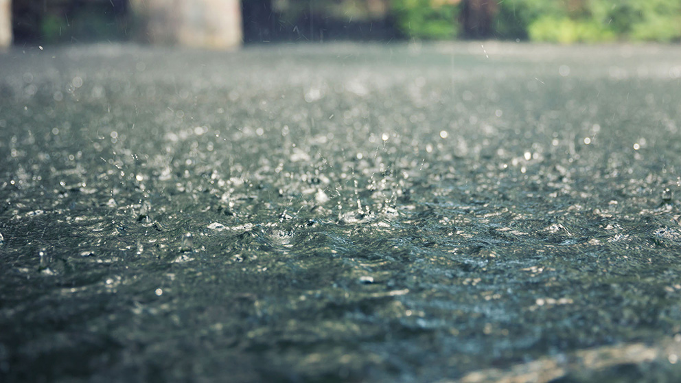
Thursday will begin with a band of cloud and rain moving slowly eastwards and north-eastwards across western, southern, and central parts of the UK. As the morning progresses, sunny spells are expected to develop in the southwest, gradually spreading to other western and southern areas.
However, these brighter intervals will be interspersed with some heavy showers, particularly affecting Wales and southern England. It will feel breezy, especially across northern regions and the far south and east, with temperatures a little colder than recent days in the west and southwest.
As we move into Thursday night, showers across Wales and southern England will fade, while the earlier cloud and rain in the north becomes increasingly confined to parts of Scotland. Under clearing skies, much of the country will experience a cold night, with widespread ground frost and rural air frost likely. Winds will remain brisk in the far north and west. There is also a risk of fog and freezing fog patches developing, particularly in eastern, southern, and central England, which could linger into Friday morning.
Rainfall totals will be building across the UK throughout the rest of this week ☔
— Met Office (@metoffice) December 3, 2025
Heavy pulses are particularly possible on Friday
Stay tuned to the forecast for further updates pic.twitter.com/uRzMu4U3eX
Outlook for Friday
Friday morning will see any residual rain in the far northeast clearing away, leaving most areas dry with some coastal showers in the west and far southeast. Many will wake to a cold start, with frost and fog likely, especially in the southeast. Through the morning, cloud will thicken from the southwest, bringing rain that will spread east and northeast to most places during the day and overnight. Winds will steadily increase, with coastal gales developing later. After a chilly start, temperatures will recover to around normal or even mild by the end of the day.
Met Office presenter and meteorologist, Alex Burkill, said: “On Thursday, the rain in the west and southwest does make its way further north and eastwards, but it takes quite a while to do so. So, it's going to be late morning, early afternoon by the time it arrives in some eastern and northeastern parts and could take well until after sunset before it clears away. Worth also factoring in that little wraparound of rain pushing into parts of Northern Ireland means the rain could stay quite heavy, persistent through much of the day here. So, those rainfall totals continuing to build up.
READ MORE: Met Office specialist forecasts: Tailored insights for land, sea and space
“But as that whole system pushes its way north-eastwards elsewhere across central, western parts of England and Wales, something a bit drier, brighter developing through the afternoon, but also a few showers coming in. Temperatures through Thursday look like they're going to be a degree or so lower for many of us compared to Wednesday. Later on, as we go through Thursday into Friday, there will be some clear weather. And so, again, it could be a bit of a chilly, perhaps even frosty, maybe foggy start for many of us on Friday. But more unsettled weather is going to arrive as we go through Friday and into the weekend.
“There’ll be some low-pressure systems bringing some heavy rain, some strong winds, particularly towards the west. Worth bearing in mind that temperatures are going to generally be around what you'd expect for this stage of December. And so, whilst you can't rule out some sleet or some snow over the highest peaks, for many, we're looking at wet and windy weather through the weekend rather than anything wintry.”
Keep up to date with weather warnings, and you can find the latest forecast on our website, on YouTube, by following us on X and Facebook, as well as on our mobile app which is available for iPhone from the App store and for Android from the Google Play store.


